Biking Through Valtellina
Italy’s Valtellina wines are amazing, but even more amazing is the Sentiero Valtellina, a mostly paved bike trail beginning near Grosotto, in the Alps, and ending on Lake Como in Colico. It is an unspoiled 95 kilometer stretch of trail born of a cooperative venture among the valley communities, well-maintained, signposted in most spots, and enjoyed by walkers, joggers, and roller-bladers, as well as bikers, young and old.
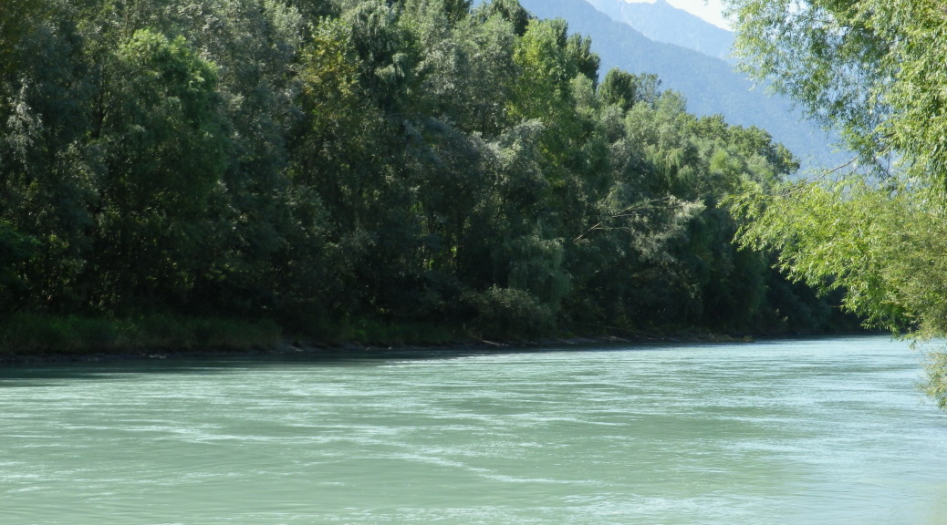
Cycling along the Adda River, sea-foam green when not a turbulent froth of white, it is easy to feel a thirst for wine as you look across the narrow valley at the vineyards clinging to the sunny, south-facing side of the Rhaetian Alps.
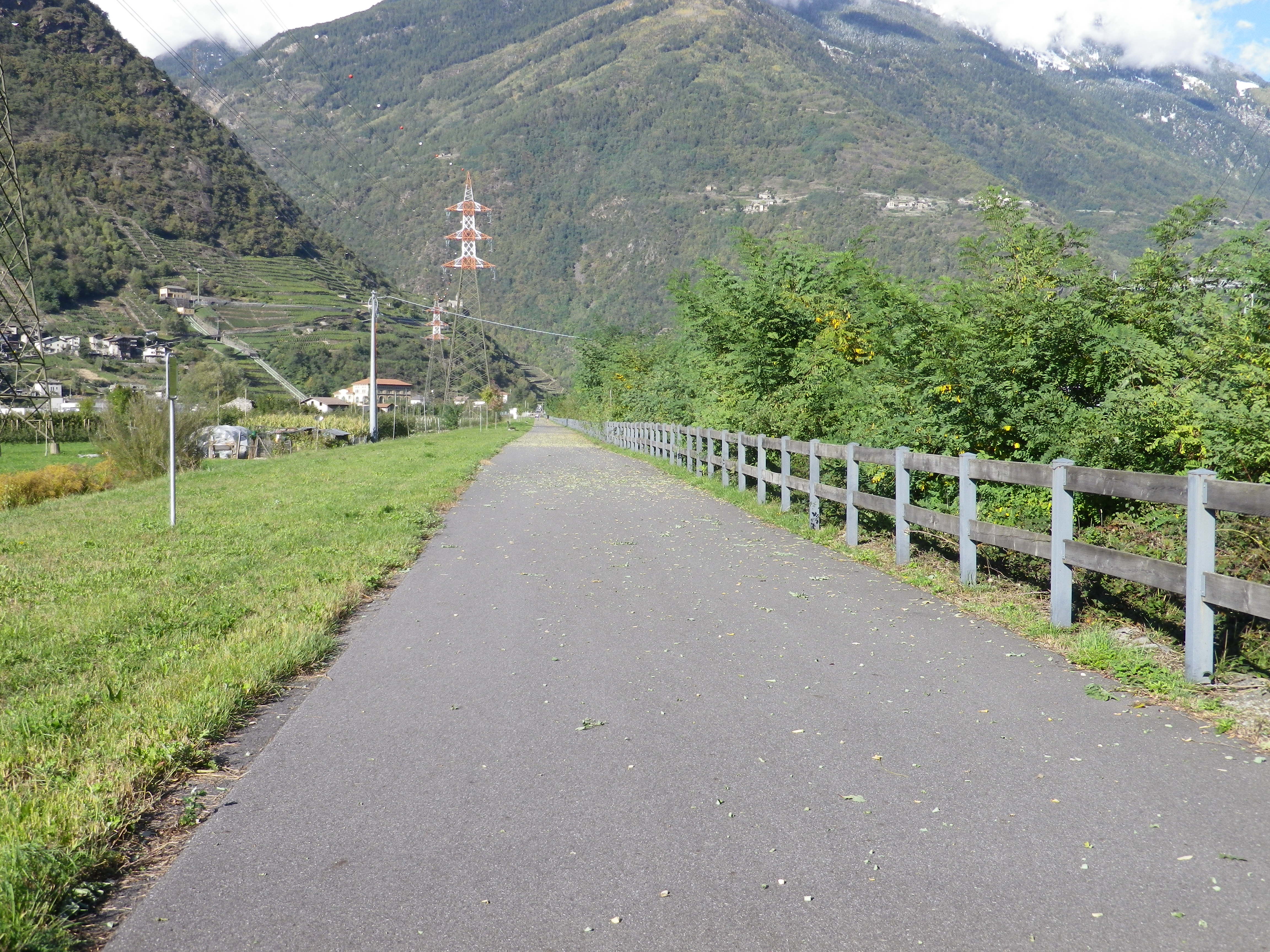
The trail that follows the river is mostly flat, if not descending, helping to speed you on your way to the many wineries and wine bars found in this alpine area, where making wine is a challenging art the vintners have mastered for you to savor and marvel at.
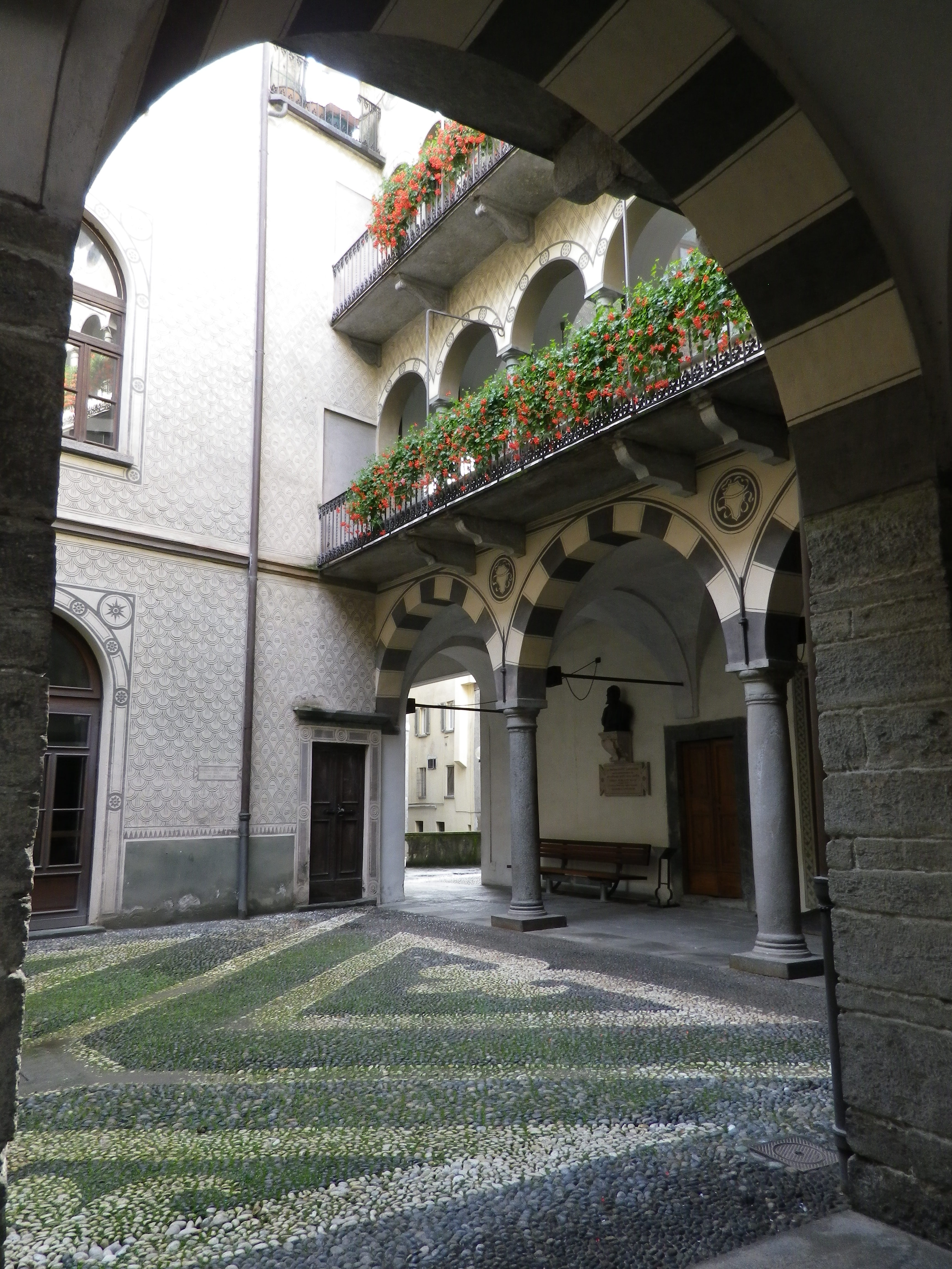
I chose to begin at bustling Tirano, a few miles downriver from the trailhead. I needed an up-to-date map and information on current trail conditions. Tirano is the tourist hub for the upper valley area. In addition to extensive regional tourist information from the dedicated tourist office, and convenient train and bus service to the rest of the valley, bikers can easily find bicycle rental, repair and support services in Tirano, (or Sondrio) that might be unavailable in other towns. The trail itself passes through the heart of Tirano, and quickly comes to quiet countryside.
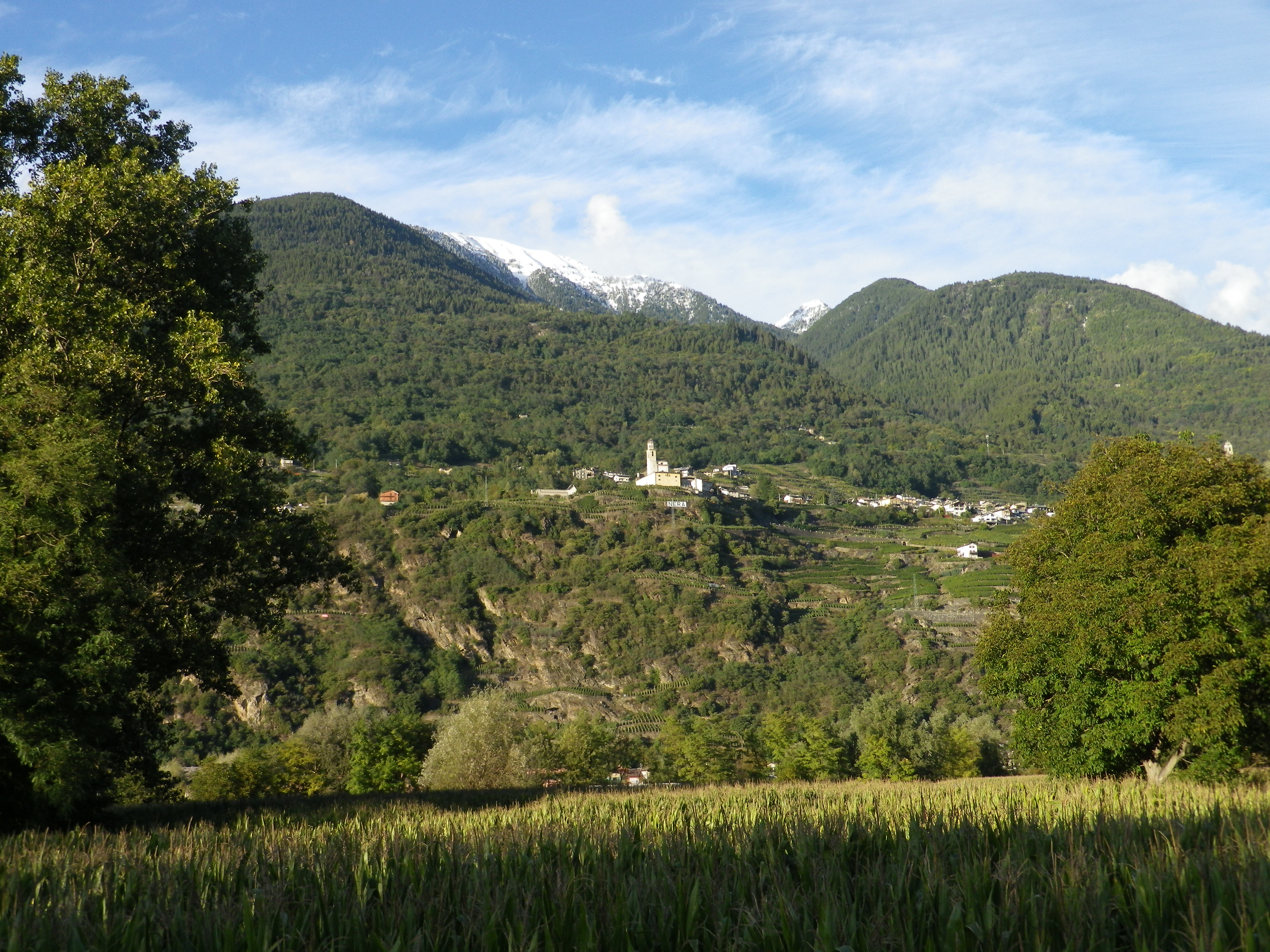
Well, not really quiet. The Adda River water music, sometimes thunderous, often burbling, accompanies you while pedaling along it. Little streams tumble from the mountains to join it, harmonizing beautifully. This was the true joy of the ride. Occasionally, the trail pulls away from the river to pass through fields, or through quiet little villages like Carolo or Piateda, each with ancient stone houses, and an air of timelessness. An impromptu stop at a little bar for some espresso, then a delightful ride into Sondrio, the region’s capital city, just as the sun began to sink behind the mountains.
The next day I continued downriver in the rain. Mud was not an issue on this trail though. The valley opened up from Sondrio. Gone were the high, narrow dramatic vistas, replaced by more open green spaces, on either side, affording impressive views of the snow-covered Alps rising dramatically, layer on layer, above the cloudbanks. I couldn’t do it photographic justice.
The paved trail meandered through trees and along the river for a lovely 12-kilometer stretch until the edge of Forcola. Here there is a deviation through fields, well-advertised on the detailed, free map but not so well marked on the ground. Then the trail continues for about 1.5 miles on SS38, a narrow, high-speed road, with no real shoulder, before picking up again at the west end of Talamona, and continuing a couple of miles on a vehicle-free path to Morbegno. Passing through the town here can also be challenging due to lack of signs, but follow the roads to SS38 where you again share this road with cars albeit for less than a mile. Otherwise this trail was amazingly car-free.

From the western edge of Morbegno to Colico, the trail is again a true delight: following along a mature river, in wide-open countryside, with the irresistible draw of Lake Como at the end. Water-birds call to each other in the flats of Pian di Spagna. Horseback riders cantor along the edge of the fields. Suddenly, the town of Colico appears in the very near distance, and the trail draws to a nice close, along the lakeside, close to a gelateria!