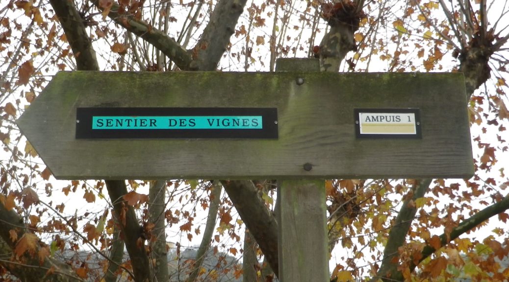
Trail Name: Sentier des Vignes (a Ampuis)
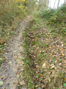
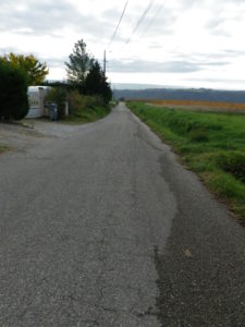
Trail Type: Short distance circuit; varying surfaces, from tarmac/concrete (about half) to earthen, to loose gravel, fairly well maintained, and fairly well marked.
Length: 7.1 kilometers/4.4 miles
Convenient to: Lyon or Vienne, France
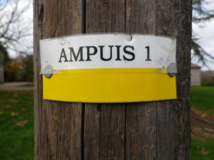
Marking: Black lettering “Ampuis 1” on yellow and white (beginning at Route de la Brocarde)
Trail Description: A delightful, short, but occasionally steep, trail that briefly explores the small town, before passing through the vineyards of the famous Cote Brune slope, and in sight of the Cote Blonde slope of the highly esteemed Cote Rotie appellation along the northern Rhone River.
Trailhead:
Mine: Ampuis, Place de l’Eglise
Suggested: Tartaras
Parking Possibilities:
Ampuis: Place de L’Eglise, large lot, at the church; Avenue du Château, twenty or so spots;
Public Transportation Options:
Rail: SCNF serves Vienne from Lyon
Suggested Stages: Not applicable
Trail Itinerary-Reference Points: (me: counterclockwise) (suggested: clockwise)
Ampuis: R. du Port-R. du Grand Pre-Petit, R. de Trieves, railroad underpassage, (cross D386), R. de Ritolas, cross R. Brocarde (look for trail behind the building ahead), vineyards, R. de la Cote Brune-Ritolas-Le Giraud, intersection with D45 (parking area), pass Gite Domaine des Pins, turn left on unnamed path about 100 meters after the Gite; cross stream and pass through woods to enter hamlet of Tartaras, follow curving main street through village, and follow downhill outside of it, R. du Moulin-Rte. de Boucharey, and back into town by the church.
Representative Trail Photos:
Restrooms:
Ampuis: By the church, Place de l’Eglise; By the park, Avenue du Château,
Attractions on or near Trail:
Just lots of amazing views and delicious wines
Tasting along the Trail:
About 10 vintners (not to mention eateries) in Ampuis, and a couple of wineries in Tartaras
Alternative Options:
Biking: While not specifically a wine route, Via Rhona, also known as the Eurovelo 17 trail, follows along the Rhone River from Geneva. Beginning in the Ampuis sector, it proceeds mostly along dedicated bike path. Thus, for about 75-85 kilometers, it is possible to cycle peacefully downriver from the famous Cote Rotie appellation through Condrieu, past Chateau Grillet, then through some St Joseph appellation villages, to reach Tain l’Hermitage, and the Hermitage and Croze-Hermitage appellations.
Additional Information:
Regional: http://www.rhonetourisme.com/moteur-de-recherche/fiche/sentier-des-vignes-128306/
Trail (segment) specific: http://pilat-rando.fr/pedestre/les-vignes-ampuis-n-1/
Comments:
The suggested direction is clockwise, but the trail described in the related narrative post and listed in reference points above, is counterclockwise.
Generally speaking, the trail ascends near one slope, and descends through the other thus providing a great opportunity to see this amazing terroir!
Very limited shade along the trail.