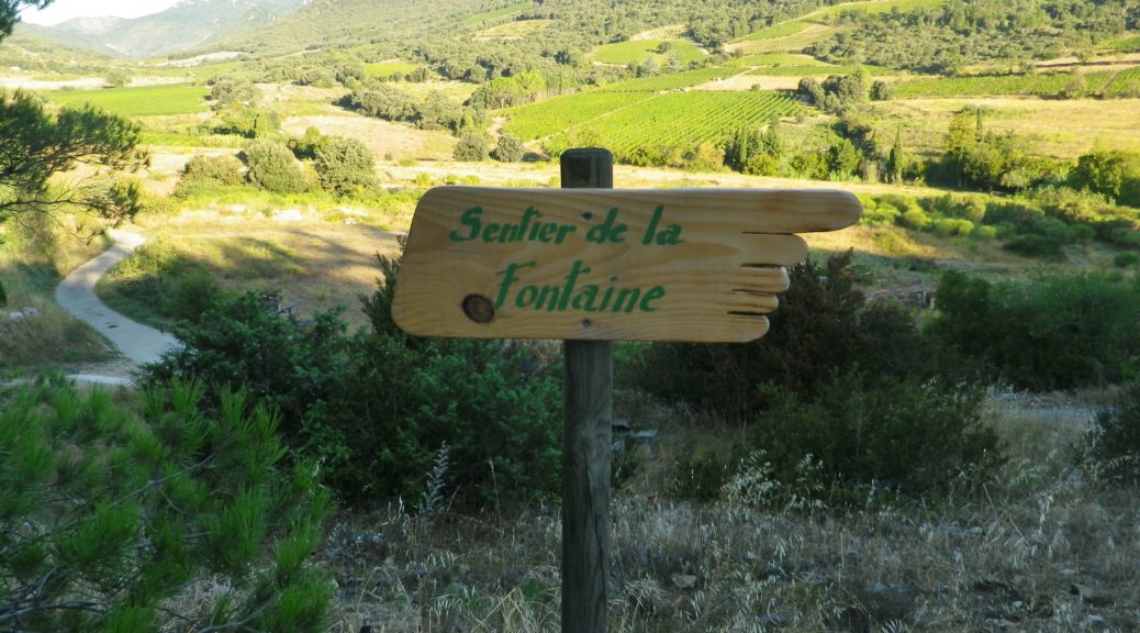
Trail Name: Sentier de la Fontaine
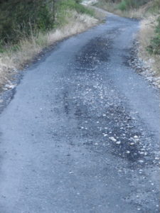
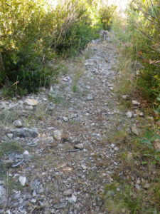
Trail Type: Short distance circuit; Somewhat roughly maintained; Marking on the trail is limited.
Length: 3.5 kilometers/2 miles
Convenient to: None, but the closest big city is Perpignan
Marking: Wooden signpost with a pointing finger, with the trail name inscribed, at the beginning and end of the trail, (see the featured photo) and educational signboards, see below, along the way.
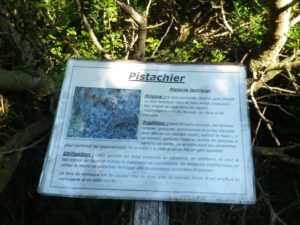
Trail Description: A short, family-friendly, educational circuit devoted mostly to the regional flora (in spite of the trail name), that shows a different perspective of this village and its roots, both botanical and historical.
Trailhead: Cucugnan, at the tourism office, on D704
Parking:
Cucugnan: at the village entrance, opposite the tourism office, along D14; or about 200 meters uphill from the tourism office, just off D704.
Public Transportation Options:
Not applicable on this short route
Note: No rail service, and bus service is not practical to reach this village
Suggested Stages: Not applicable
Trail Itinerary-Reference Points: (Counterclockwise)
Cucugnan: Tourist office, on D704; past the cemetery, around vineyards; educational signboards; cross stream on a bridge, past old gardens and settlement, fountain; R. de Pauzadou, (just before D14); R. de la Chapelle, R. Achille Mir, R. Alphonse Daudet.
Representative Trail Photos:
Restrooms:
Cucugnan: By the tourist office, on D704
Attractions on or near Trail:
Not wine related, but Queribus Castle and nearby Peyrepertuse Castle are spectacular examples of Languedoc military architecture.
Tasting along the Trail:
Four wineries on the outskirts of the village, and several bar cafes, restaurants, in the village
Alternative Options:
Hiking: Sentier Cathare (aka: G(rand) R(andonnee) 367) a better known, albeit long-distance trail through this area, also passes through the local vineyards, while focusing on the Cathar history of the region.
Car: Part of the 130-kilometer-long Cathar Chateaux Route passes through here, and covers the vines and vintners of the area as well.
Additional Information:
Regional: http://www.cucugnan.fr/fr/queribus-cucugnan/accueil
Trail specific: None online, but the Tourist Office in Cucugnan has a hard copy map available
Comments:
A gentle way to work up an appetite before dinner.
Not the most maintained or marked trail, it is able to be followed with the map, except from the vines to the bridge. Once over the little stream bridge, the trail is again easily followed.