Trail Name: Saarweinwanderweg
Trail Type: Long distance circuit; almost exclusively paved or hard-packed surface, well maintained, and fairly well marked.
Length:
Total: 77.4 kilometers/ 48 miles
My stage: 16 kilometers/10 miles
Convenient to:
Trier, Germany
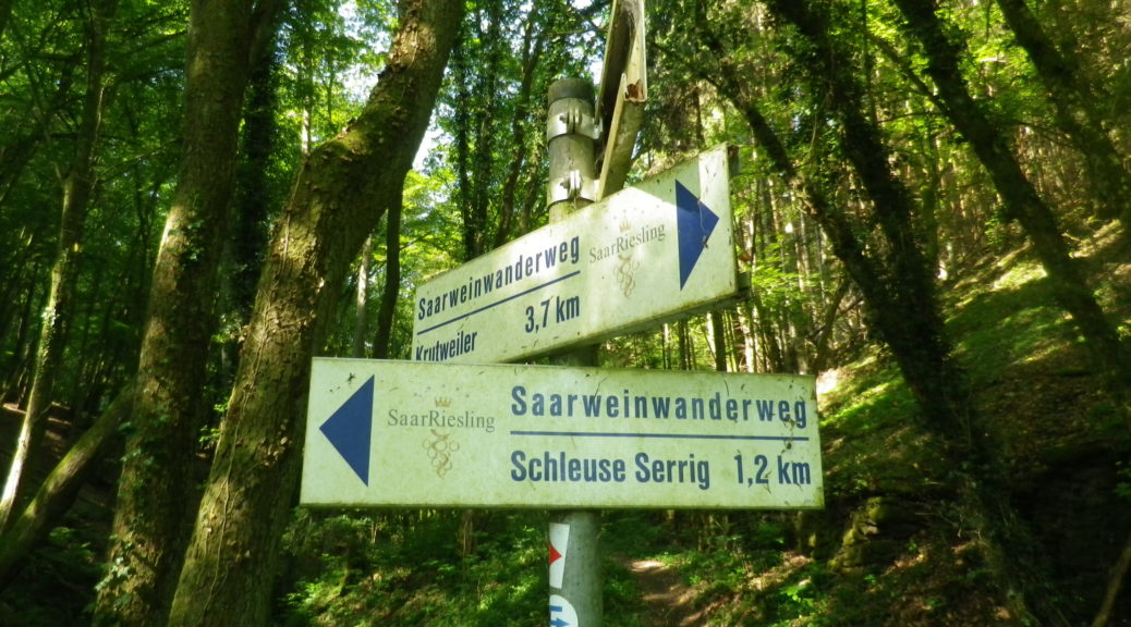
Marking:
White rectangular signs with blue lettering (See featured photo above.)
Trail Description:
A somewhat hilly circuit, this hiking trail followed along, above, or not to distance from, the Saar River and its associated vineyards. While somewhat popular with German nationals, this trail was off the tourist path, yet still, had good tourism infrastructure (nice eateries, a variety of lodging options, good signage and tourism information). Hiking this trail was practically a solitary experience, with lots of opportunities to quietly enjoy the natural beauty of this area.
Trailhead:
Official: Konz, Am Stadion
My segment: Saarburg, Traffic Circle at Graf-Siegfried-Str x Schlossberg
Parking: (My segment only)
Saarburg: Many small lots throughout the town, but watch for time limitations. The large Am City Parkplatz, on the street of the same name, while not the most convenient to the trailhead, allows long-duration parking.
Serrig: Large parking lot off B51, by Saarstrasse.
Public Transportation Options:
Bus: Verkehrsverbund Region Trier (VRT), provides local bus service in the Saar valley.
Rail: VRT with Deutsche Bahn (DB) provides convenient service to Saarburg’s train station (located across the river in Saarburg-Beurig), from Trier, and Saarbruecken, a major transportation hub in this southwestern corner of Germany
Trail Itinerary-Reference Points: (My segment only – counterclockwise/upriver-downriver)
Saarburg: Traffic Circle at Graf-Siegfried-Str-Auf dem Graben-Kruterberg; Krutweiler: along K129, then on a path along the river; cross at Lock Serrig; Serrig: B51- Martiniusstr, Hauptstr, Hohlgasse, Domaenenstr, turn left at Hofgut Serrig; through woods, past Saarstein castle to Irsch; Irsch: In de Lay, B407/Saarburgerstr.
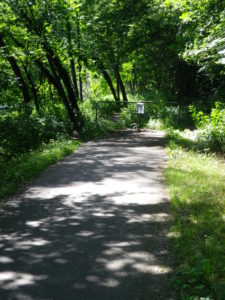
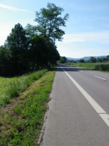
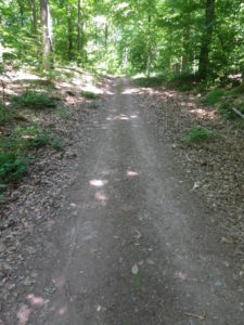
Representative Trail Photos:
Restrooms:
Saarburg: Graf Siegfried Strasse, behind the Rathaus/Tourism Office
Serrig: Hofgutladen, Serrig
Attractions on or near Trail: (My segment only)
Saarburg: Several buildings, squares and narrow lanes of historical interest, as well as a lively wine culture, with shops and wine bars showcasing local wines.
Barfusspfad, while not wine-themed, this bare-foot path, right on the trail, offers a multiplicity of textures (Sand, mud, wood shavings, river rock) to relieve hot, tired feet.
Tasting along the Trail: (My segment only)
Saarburg: Several wine bars and taverns, as well as wineries right on the trail
Serrig: Schloss Saarstein, Weingut Wagner
Alternative Options:
Biking: The last segment of the Saar-Radweg, a 110 kilometer long cycling itinerary following the river, starting at the French border and ending in Konz, passes by this area’s vineyards.
Additional Information:
Regional: https://www.urlaub.saarland/
Trail specific: https://www.saar-obermosel.de/wandern/saarweinwanderweg.html
Comments:
Beurig, the town across the river from Saarburg, is easily accessible by trails from the Saarweinwanderweg, and an alternative to waiting for a bus in Irsch.