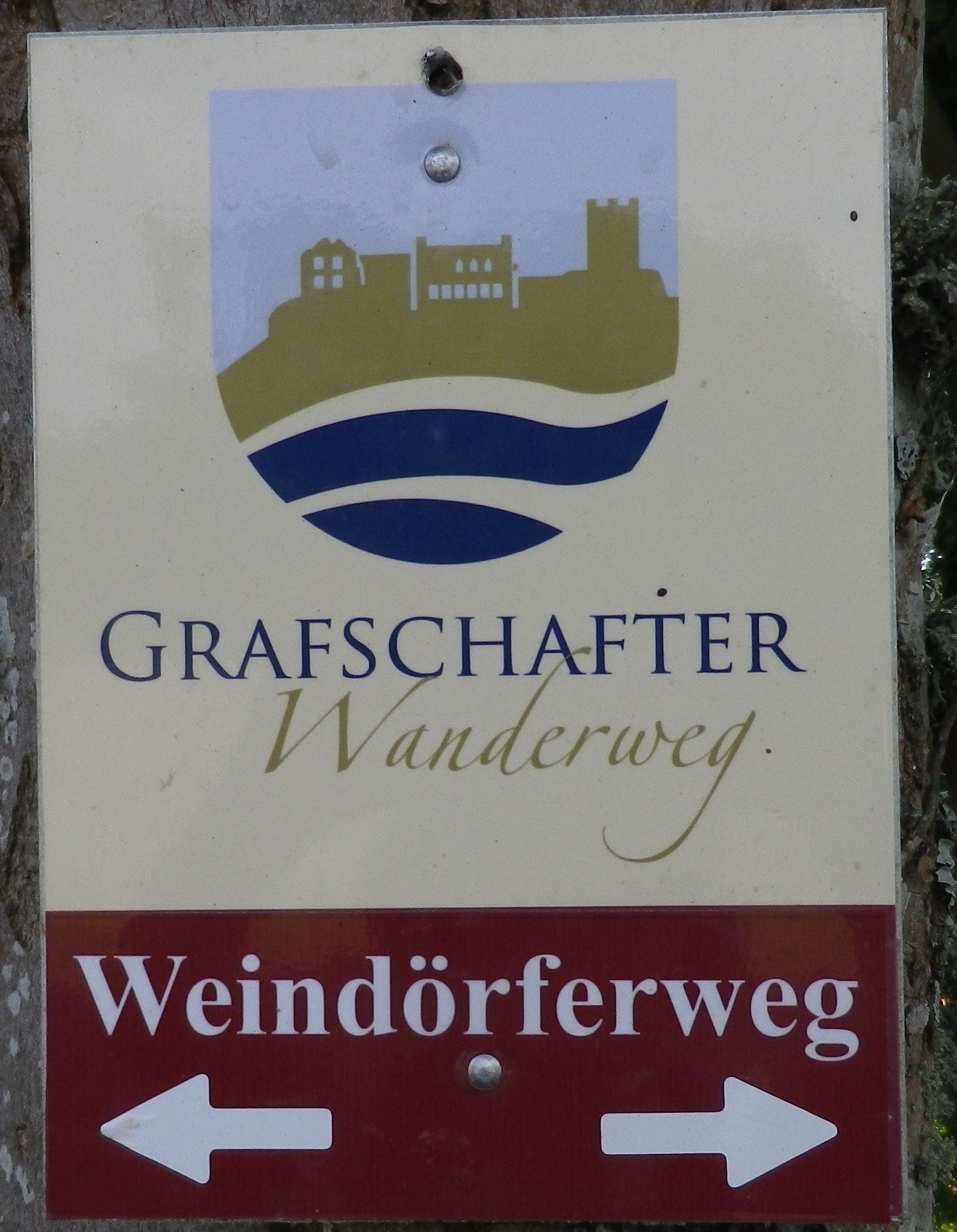
Trail Name: Grafschafter Weindoerferweg
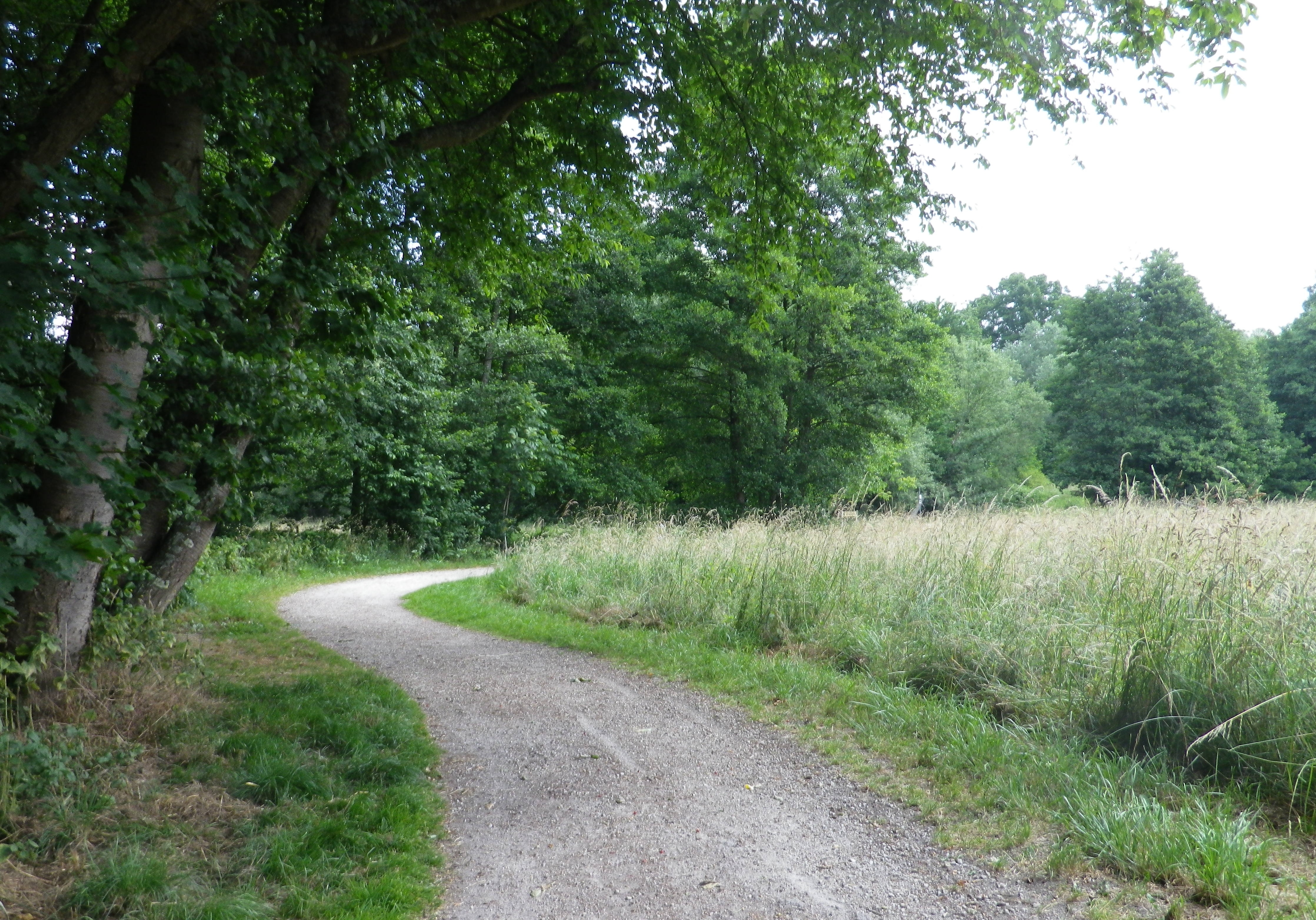
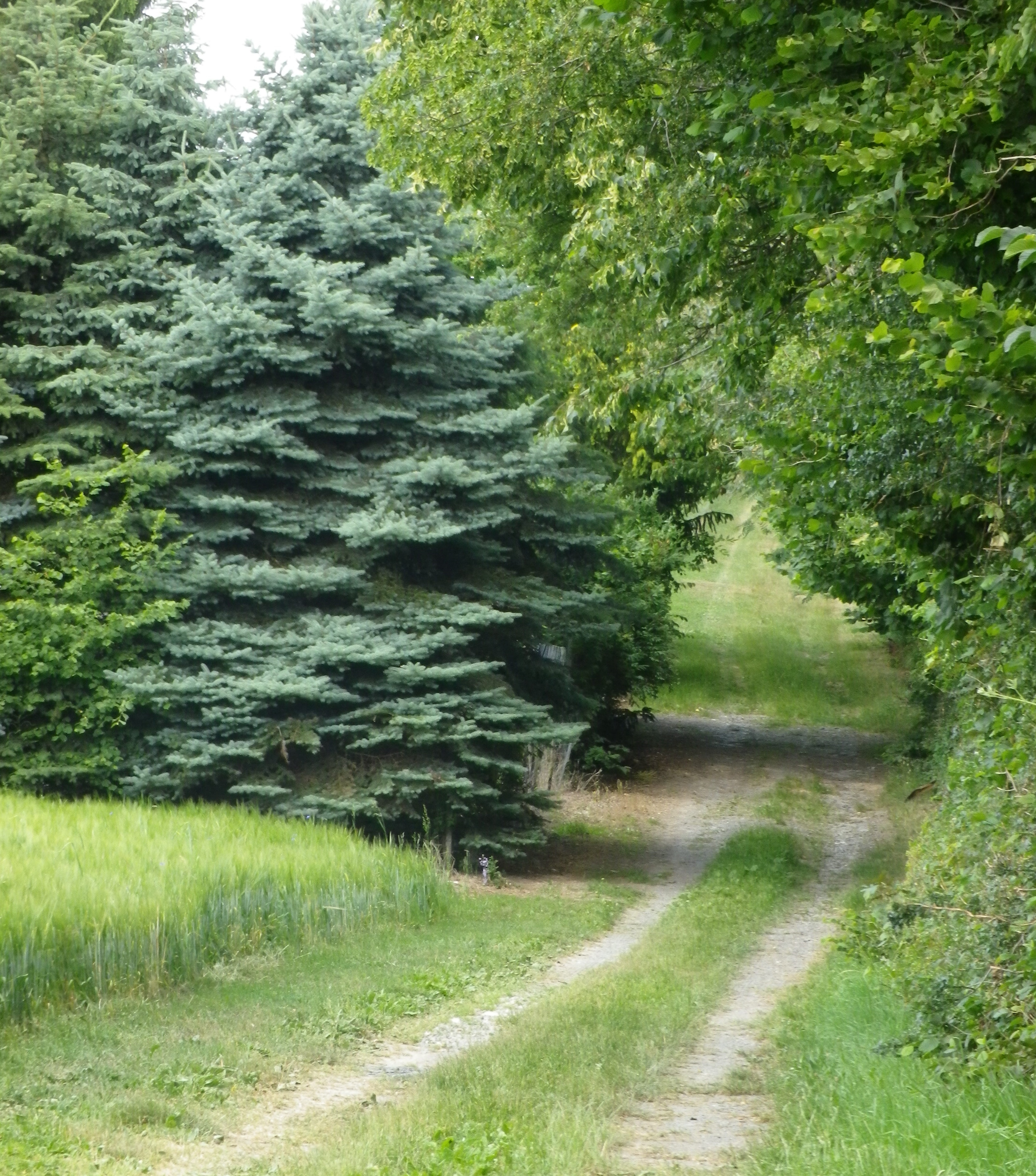
Trail Type: Mid-distance hiking circuit; grassy pathway, steps, hard-packed gravel or paved in built up areas, well maintained and superbly marked.
Length: total: 18.5 kilometers/11.5 miles
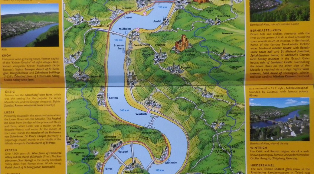
Convenient to: Bernkastel-Kues, Rheinland-Pfalz, Germany
Marking:
Trail Description: A medium-difficulty, circuit hike covering some of the middle Moselle wine villages, both on the river, and in the hinterland. Hikers will experience a wide variety of landscapes, flora and even fauna. Plenty of tasting opportunities along the way.
Trailhead: Muelheim an der Moselle: Marktstrasse/Bergfried
Parking Possibilities: Muelheim an der Moselle: Lot for about 15 cars at trailhead on Marktstrasse/Bergfried.
Public Transportation Options: Bus: Bus 333 services the stretch between Muelheim and Wintrich, with continuing service to Piesport and Trier (heading south), or Bernkastel-Kues (heading north).
Suggested Stages: Not applicable .
Trail Itinerary-Reference Points: Muelheim an der Moselle: Marktstrasse/Bergfried-Talweg, fields, along Veldenzer Bach (Stream), 2 bridges; Veldenz: Gartenstr-Hauptstr-Schulstr-In der Trift, fields, forest, fields; Burgen: Poststr-Hohlstr; along a paved road, then grassy path, and into woods as you descend the ridgeline (Watch carefully for the sign pointing to the right, into the woods!); Past a small pond (on left), and along Brelitzerbach (stream), dale, and powerlines/towers on right, climb through fields along a grassy path to woods, descend ridgeline via vineyard/agricultural access roads; Wintrich: In der Trift-Moselstr-Im Bruhl; sport fields; Vineyards, fields, along paved or hard-packed roads; Brauneberg: Nussbaumallee, cross B53 into vineyards to follow back to Muelheim.
Representative Trail Photos:
Restrooms : None observed.
Attractions on or near Trail: Bernkastel-Kues is the nearest town of size, and famed for its vineyards, and historic, picturesque town squares.
Tasting along the Trail: There are numerous wineries along this trail, in each municipality.
Alternative Options: Biking: Mosel Radweg (Moselle Bike Path) covers the riverside part of this hike. Walking: Between Muelheim and Wintrich hikers share most of the biking path above. It is possible to walk between the river towns (Muelheim-Brauneberg-Wintrich), and return to your start point with Bus 333. This segment is easy for kids, and almost entirely suitable for baby carriages, walkers or wheel-chairs. (Only a couple of very small detours would be necessary.) Car: Mosel Weinstrasse passes through some of these villages, and covers much more.
Additional Information:
Regional: http://www.mosellandtouristik.de/en/
Trail (segment) specific: http://www.outdooractive.com/de/wanderung/mosel-saar/ferienland-wanderweg-weindoerferweg-muelheim/2952021/#fu=1
Comments: In Veldenz, signage points to an alternate route to In der Trift, via Bergstrasse, and up stairs, along a grassy path.