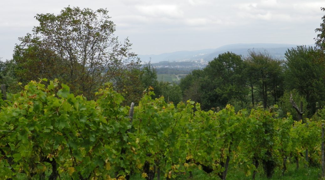
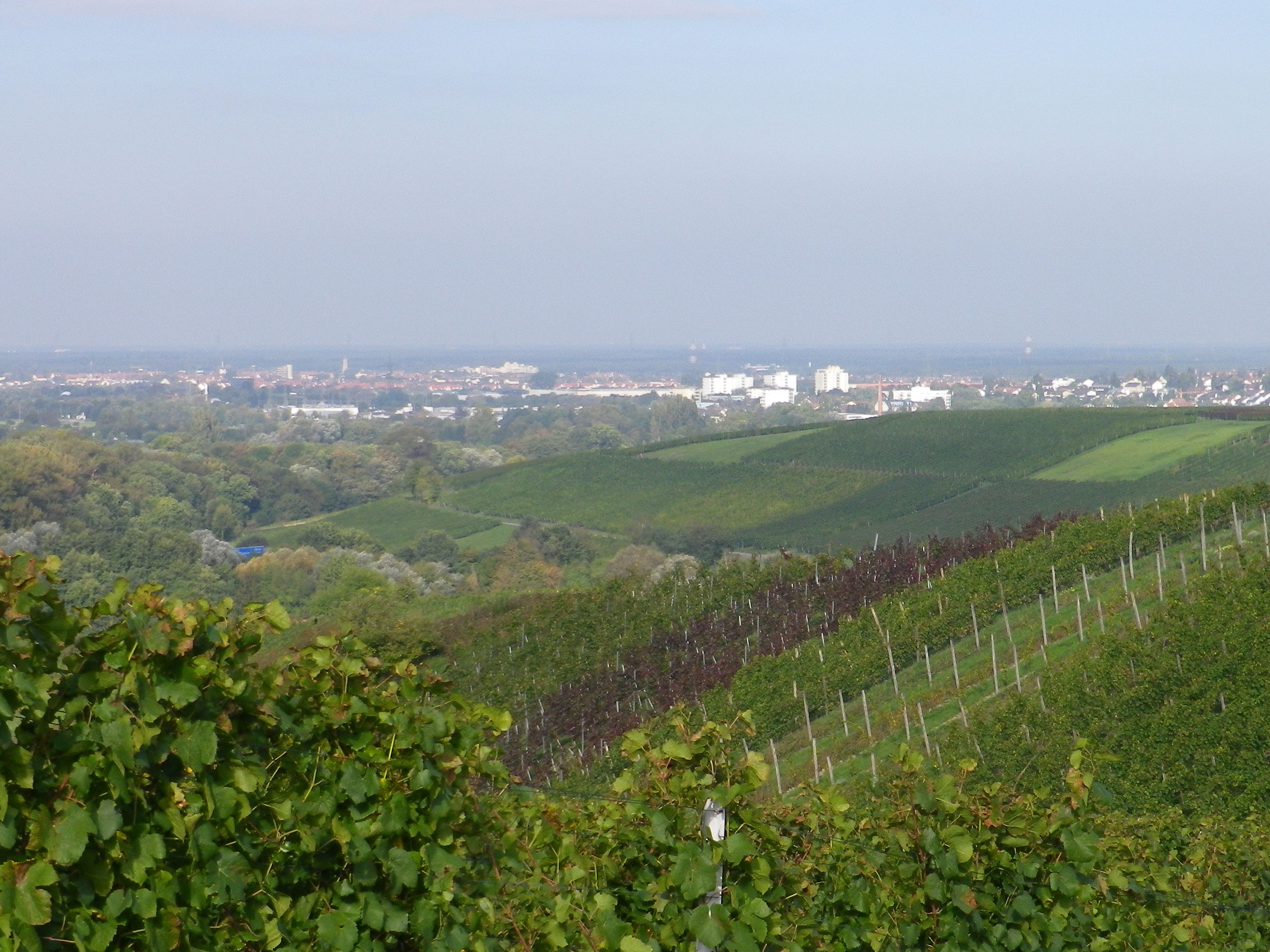
The Kraichgau is a small corner in northern Baden. Quiet villages tuck into the steep folds of hills, following little valleys, generally along small creeks. It is spiritually far removed from the nearby big urban conglomerations, which you can occasionally see from the trail, in the distance. Pockets of vineyards lie among fields, and below tree lines, or on the sheltered sides of rolling ridges. The vineyards here are small, but well-tended. They are truly the agricultural manna of this area of Germany’s Baden wine region.
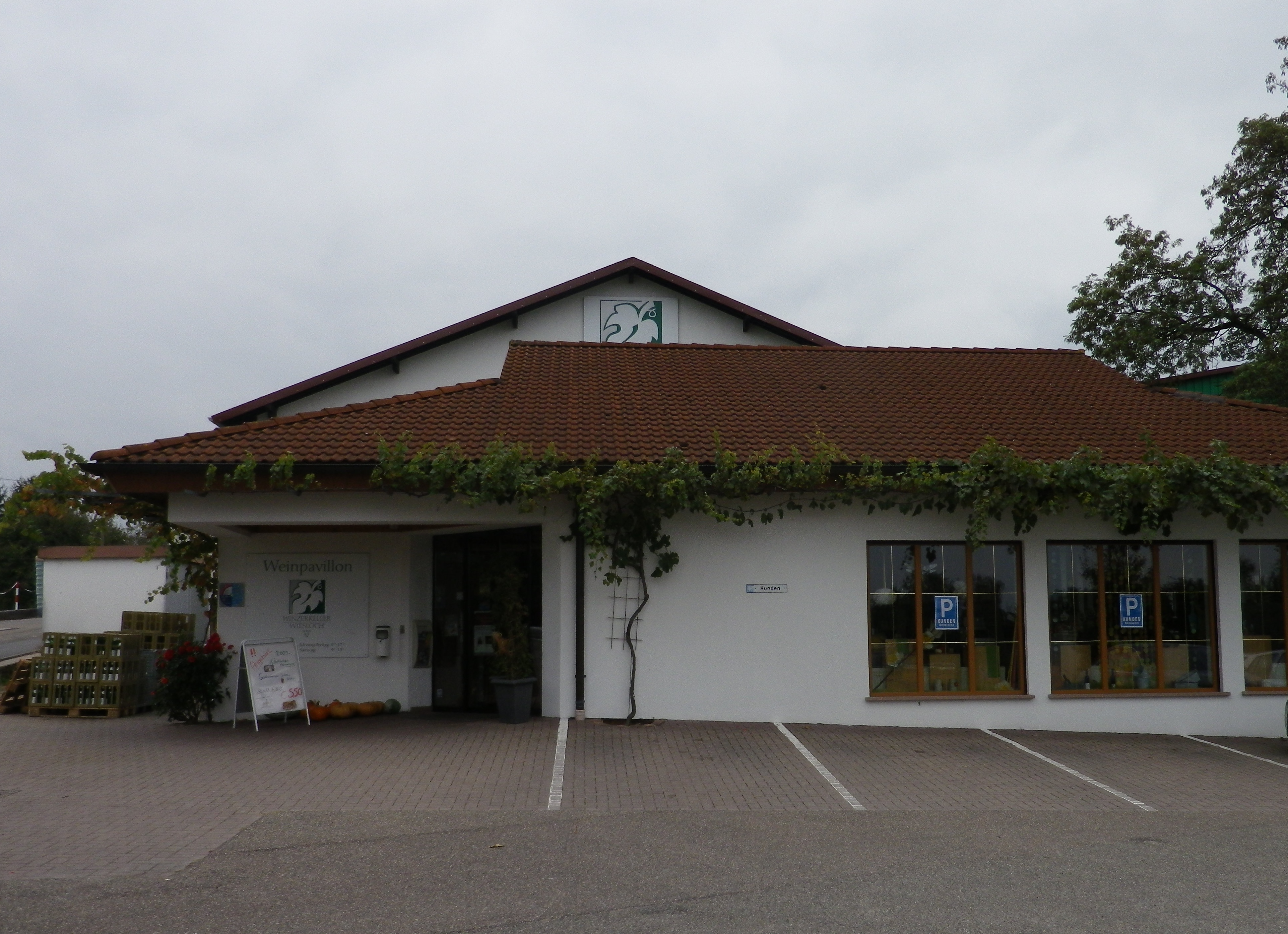
The Weinwanderweg Mannaberg trail, at 21 kilometers, is one of the longer vineyard trails for day hikers. It is, but is not, a circuit. For some strange reason, the mapping of it is incomplete, showing two segments, and leaving it up to the hiker to close the gaps. It began at the Winzerkeller Wiesloch, a suitable place to end the hike as well, as it offers not only buying opportunities, but also an area to picnic, or buy food and wine at the collocated, but seasonal, Winzerrast tavern. But parking in this area can be tricky. Until mid-afternoon, Mondays through Fridays, the closest parking lot is reserved for staff of the nearby school, and the Winzerkeller parking is reserved for customers. So, parking on the side of the road is the only option.
The trail heads toward the highway, A6, passes under it, then continues around the vineyards above Rauenberg. From here, you have distant views of Wiesloch, and further away, the mountains sheltering Heidelberg. The trail winds around the outer edges Rauenberg, and Rotenberg. While they have some restaurants, on such a long hike, stopping for a mid-day meal can be problematic. These villages are too small to have much in way of support for hungry hikers. In fact, most of the shops suitable for picnic provisions close for lunch hour, which is a shame as the Heiligenstein Pavilion was the next attraction on the trail, and it would make a lovely spot for a picnic, rain or shine.
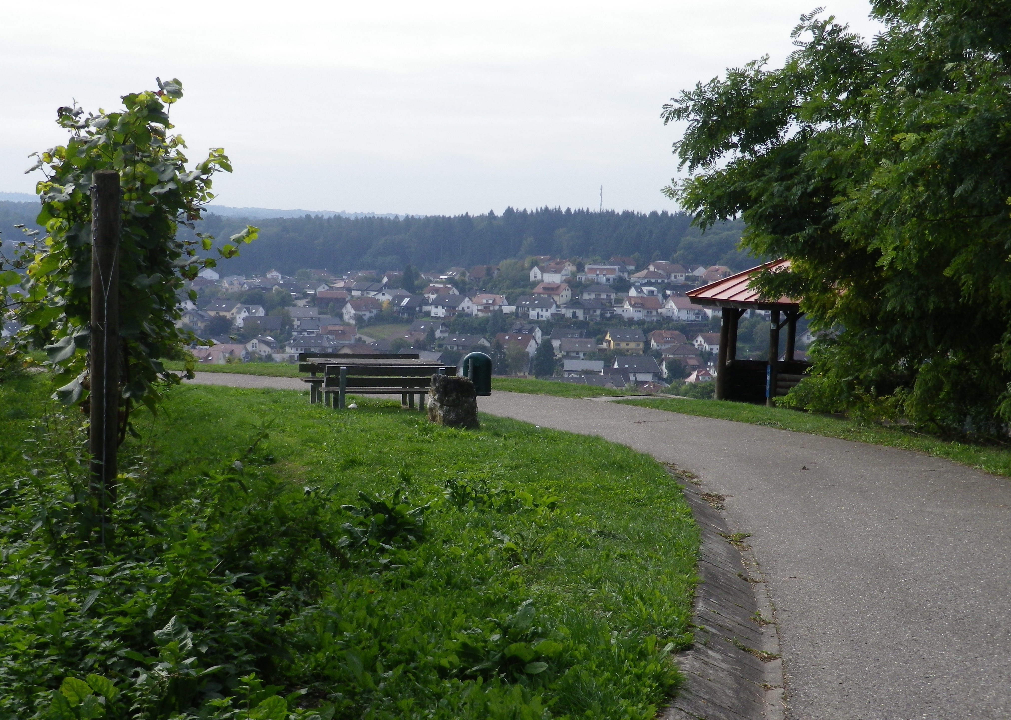
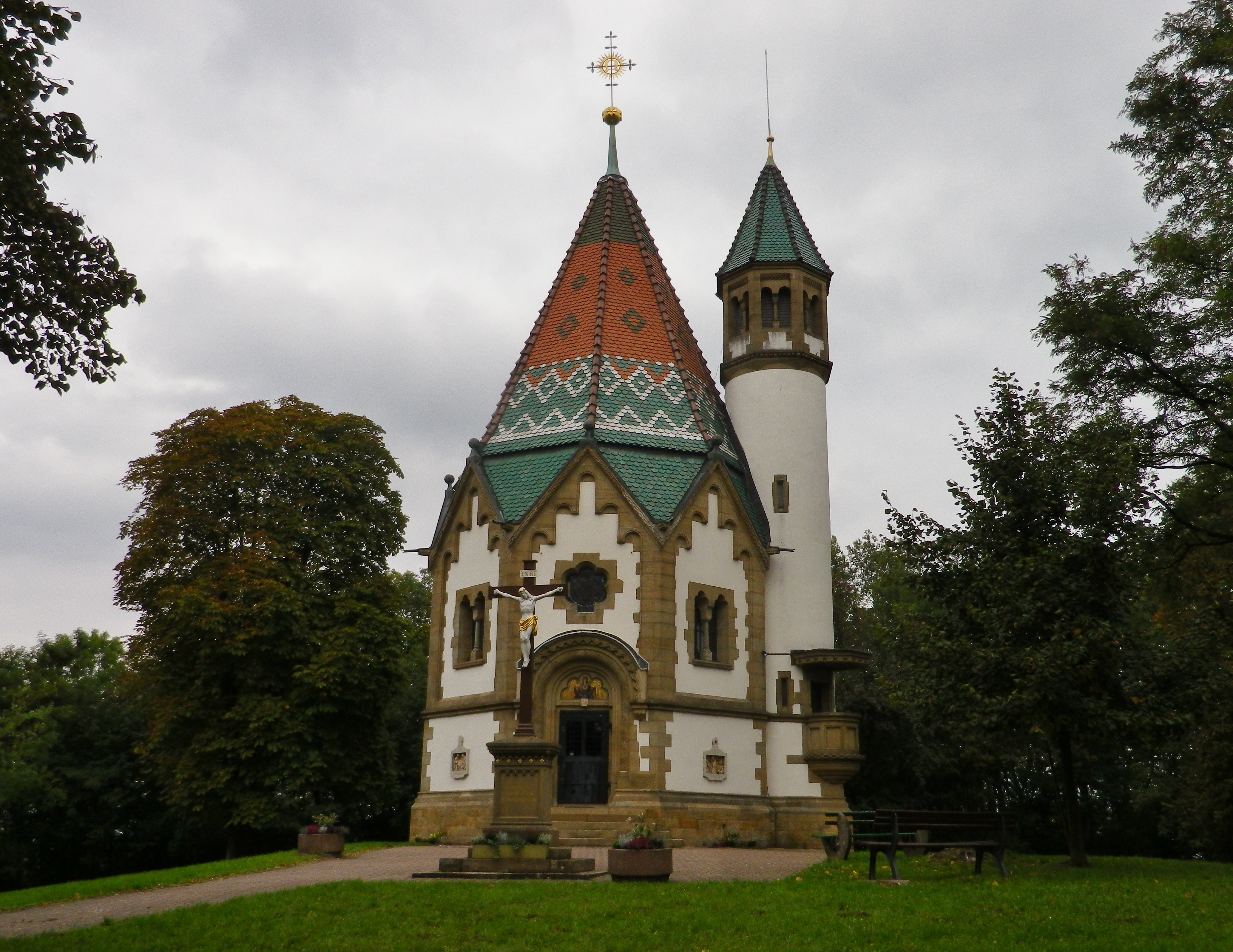
On the other side of Rotenberg, an even smaller place dominated by a castle, the trail descended via the heights above Muehlhausen, and ended, for the first time. No matter: I headed into the woods, passing under B39, to reach the villages on the other side of the Waldangelbach valley. Malsch and Malschenberg are also small villages, seemingly at the bottom of a sea of vines. Between Malsch and Malschenberg, at the top of the hill, the Letzenberg Kapelle provides another peaceful and quiet place for a rest or a picnic.
After the ornate chapel, came more the vineyards. Then I came upon yet another picnic spot, the Malschenberg Grillhutte. This one contains a grill and a hut, ready for grilling rain, (which seemed increasingly likely as I hiked along) or shine. But I continued along, focusing an eye on the sky, and on laying out an itinerary to close the gap in the mapping, wanting to find a quick, direct route, and to avoid roads with traffic as I passed through Rauenberg. In the end, I decided to follow the main street (Hauptstrasse), and turn off Ziegelergasse onto a path following the Waldangelbach brook.
This trail almost closes onto itself 3 times, once each in Rauenberg, Rotenberg and Malsch: ideal if you want to shorten your hike. Otherwise, this hike is not as convenient as others I have hiked. In part, the trail layout is determined by the need to pass under the major highways. That, and the lack of complete mapping and signage throughout its entire length, serve to make it less than optimal for non-local hikers. Nonetheless, it provides a good way to explore a lesser known zone in the Kraichgau wine district, in the Baden wine region. Therefore, if you find yourself in Wiesloch or Heidelberg area, and wish to hike in a quiet, wine-producing area, finding this trail is like finding manna from heaven.