Trail Name: Les Coteaux St Michel, AKA Saint Michel n. 1
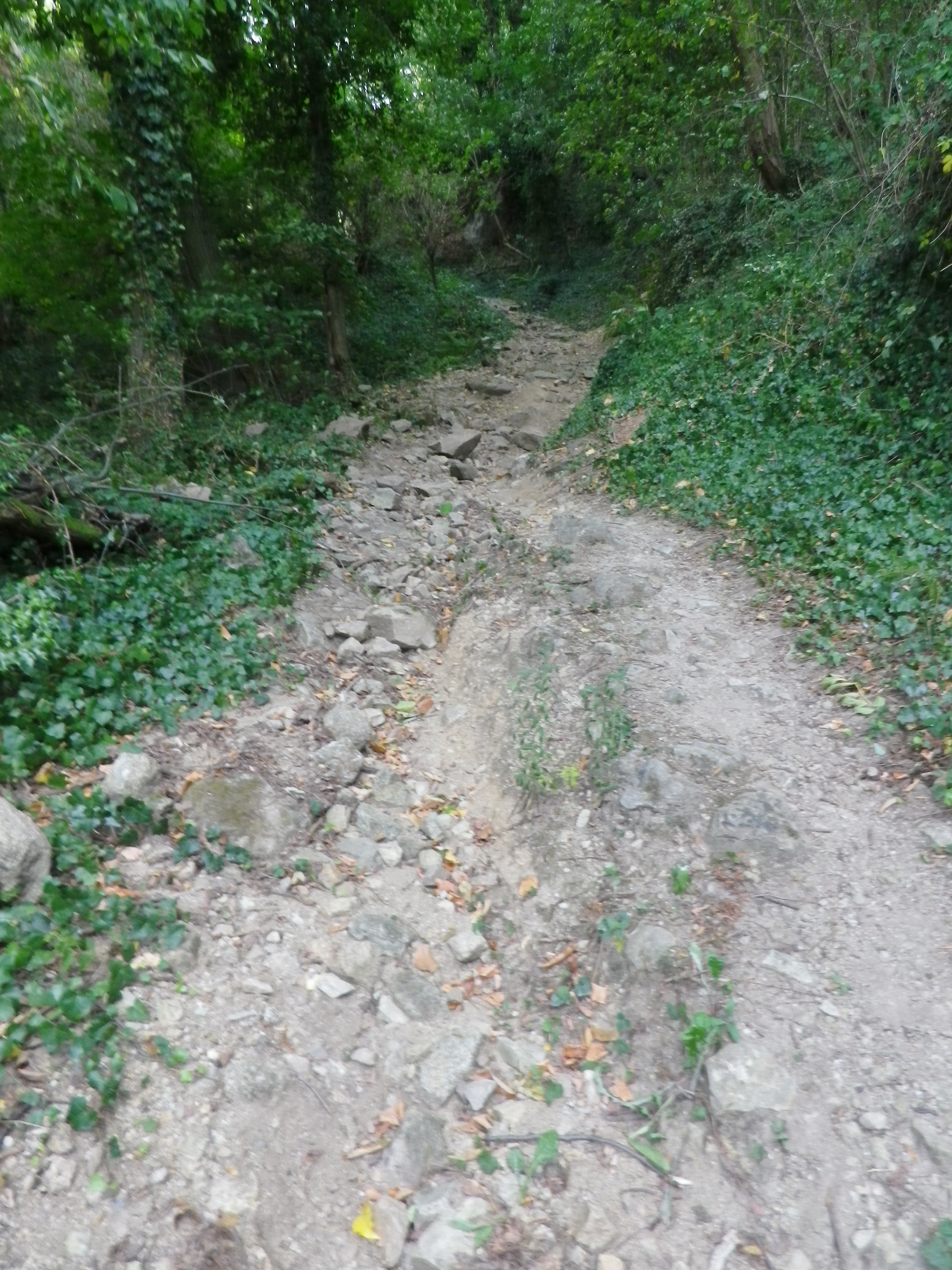
Trail Type: Short distance; somewhat maintained and varied surfaces from paved to rough, with loose gravel on some of the steep slopes, marking on the trail good, but with one exception, not specific to the trail itself.
Length:
Total – about 7 kilometers/ 4.5 miles
Convenient to: Vienne and Lyon, France
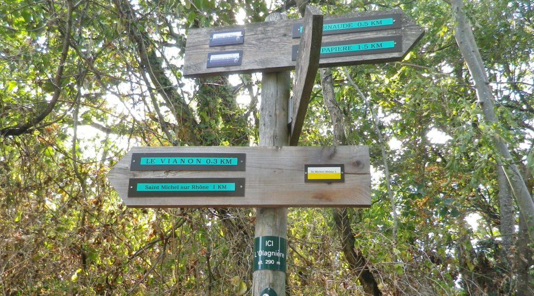
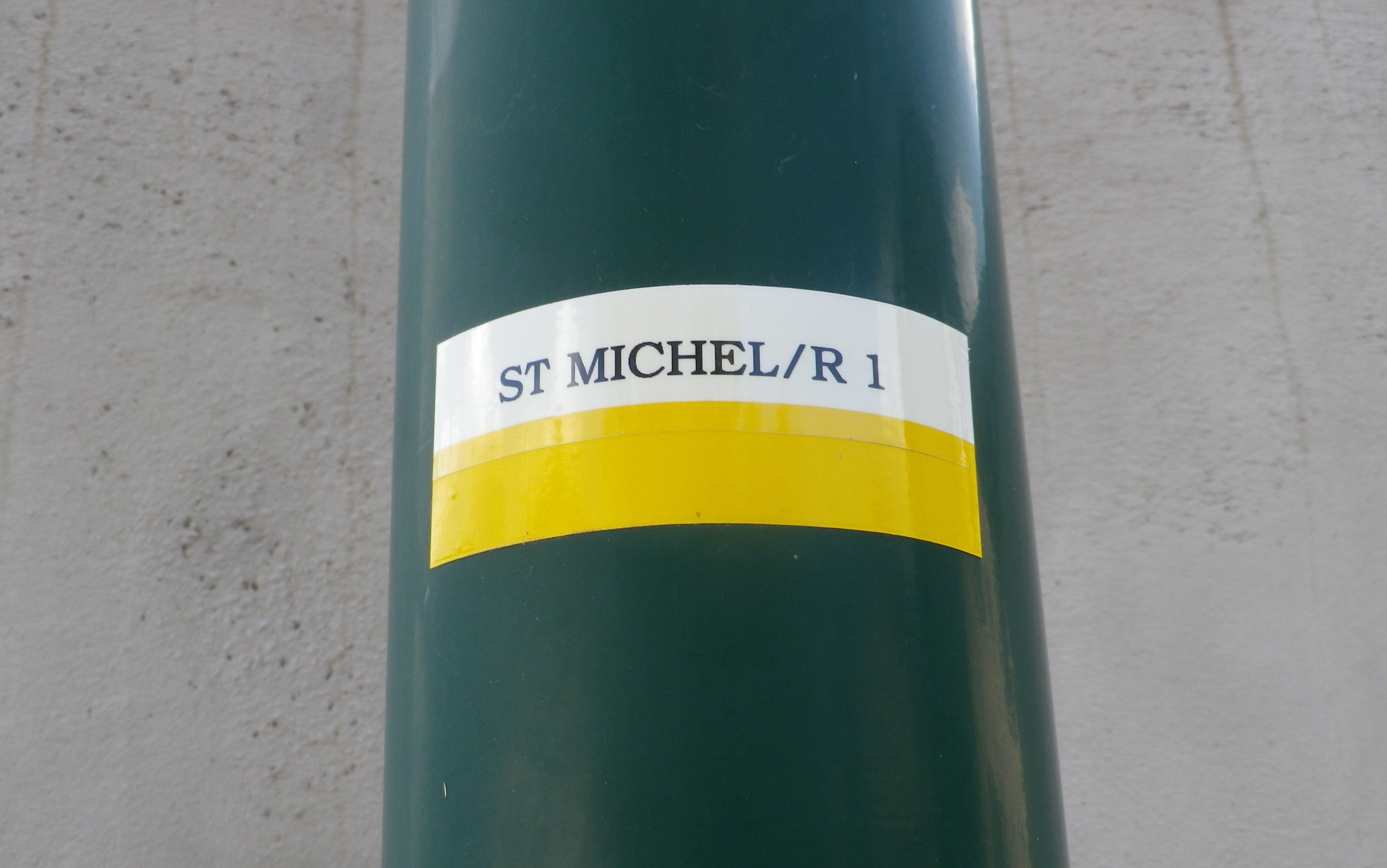
Marking:
A white horizonal bar over a yellow horizonal bar, and occasionally a post noting current location and direction arrows with distances to further locations. (See photo above)
Trail Description:
A beautiful and sometimes challenging trail through a variety of landscapes from hamlets to fields and forests, but mostly dominated by scenes of the Condrieu vineyards and the Rhone River. With the dramatic views, and constantly changing trail, this trail will satisfy those looking to explore the quiet area of this small appellation.
Trailhead:
Official: St Michel sur Rhone: Mairie – R du Solon x Place des Muriers
Mine: Rue de la Voie Romaine, Verin
Parking:
St Michel sur Rhone: R du Solon, by church about 20 places; Rue Haute (Place du Bourg Vieille), about 9 spots
Verin: R. Nationale, parking along the street, south of R Jean Vincent, and between R. de la Voie Romaine and D34; small lot at the intersection of R Jean Vincent and R. Nationale/D34
Public Transportation Options:
Rail: SNCF routes north to Lyon and south to Valence, pass through the station St Clair les Roches, across the river from Condrieu in Les Roches de Condrieu.
Bus: Bus, more like van, service is available on demand.
Suggested Stages: Not Applicable
Trail Itinerary-Reference Points: (Counterclockwise)
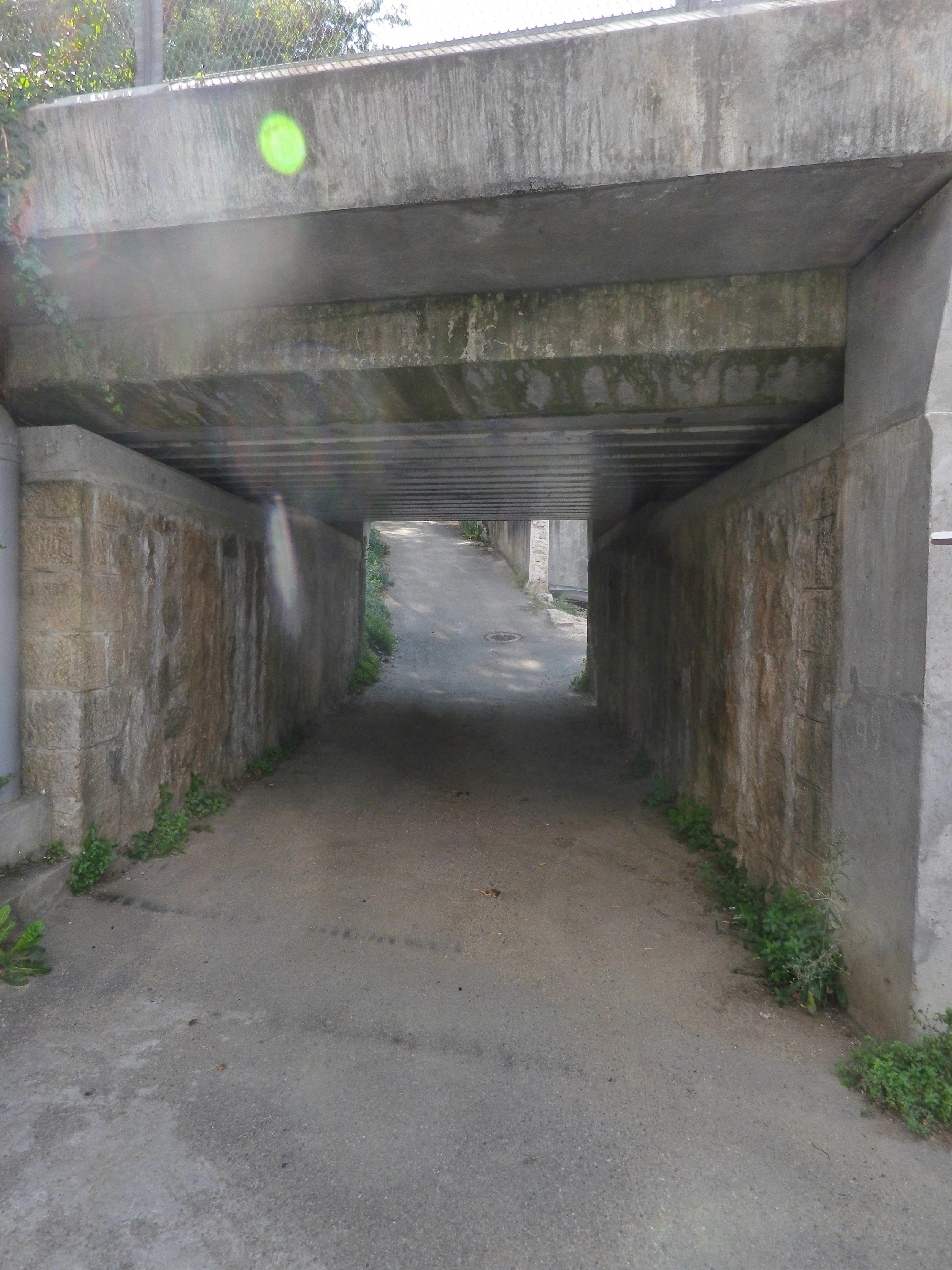
St Michel sur Rhone: Place des Muriers, La Piaton, woods, Impasse Cote Foret, Cote Foret (along tracks), cross D1086, dogleg , R du Grand Val, north on R de Lone, east to R. de Jassoux, Impasse du Puit, cross tracks, Impasse de la Croix Rouge, Impasse de Poncin, cross tracks, north on R. Roches Molles (Chateau Grillet); Verin : R. de la Voie Romaine, R. de Beatrice de Roussillon, path on left by house just after underpass, above another house, Impasse de la Croix Margot, R. de la Cartherie, Impasse au Bois, R. de l’Ollagniere ; Impasse la Gaie, down between house and pool, R Rampot
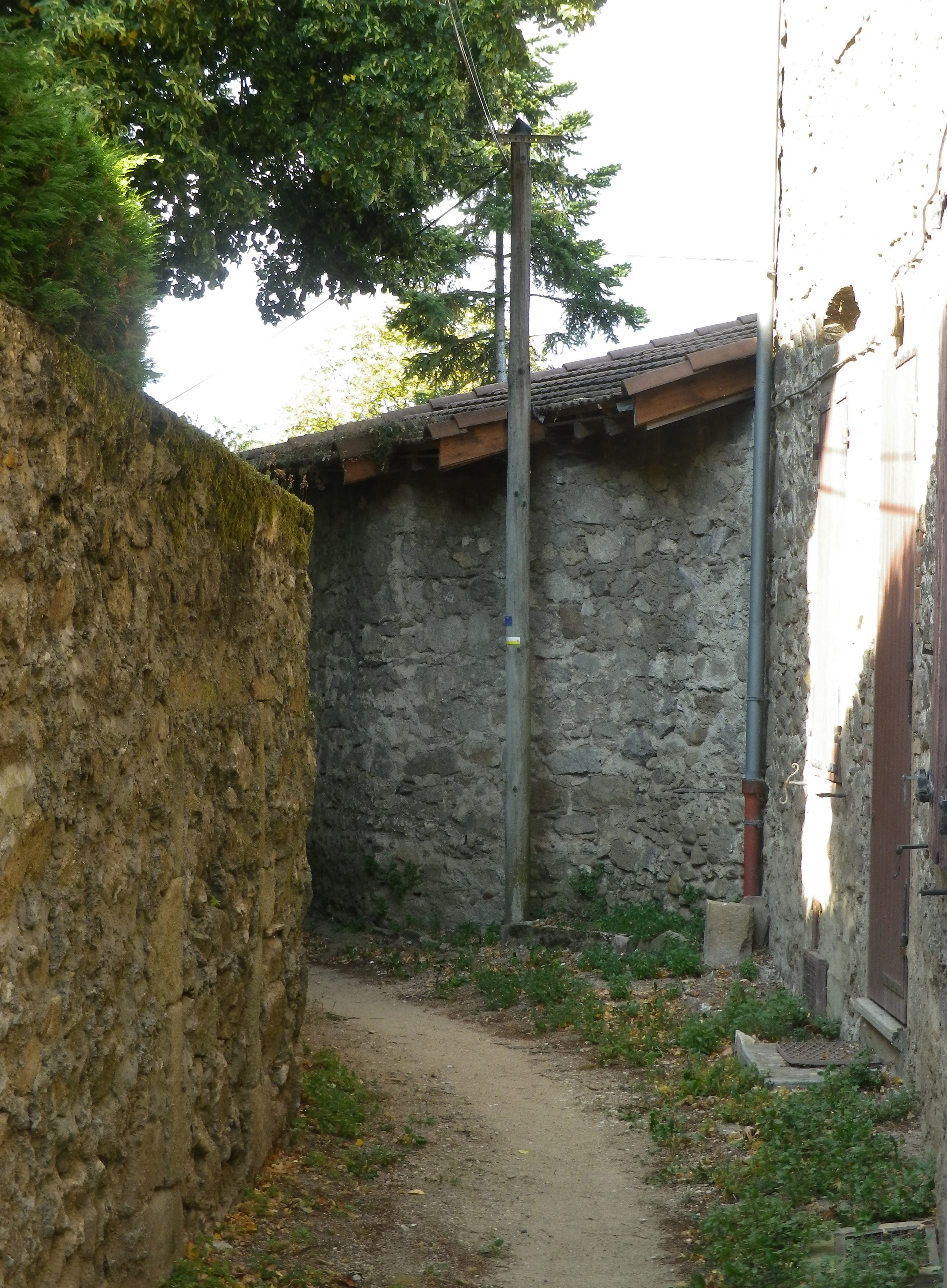
Representative Trail Photos:
Restrooms:
St Michel sur Rhone: R du Solon, by church and Restaurant
Attractions on or near Trail:
Just lots of wonderful views of the famed vineyards
Tasting along the Trail:
Condrieu, the town, has the most wineries, although there are a few, smaller ones along the trail, especially in Saint Michel sur Rhone
Alternative Options:
Hiking: Dans les Vignobles de Cote-Rotie et Condrieu, a three-day, 44-kilometer circuit trail of short stages around both the Cote Rotie and Condrieu appellations.
Additional Information:
Regional: https://www.condrieu.fr/# and https://www.vienne-condrieu.com/
Trail specific: https://www.mairie-saintmichelsurrhone.fr/loisirs_randonnees_a_saint_michel.php
Comments:
There were a couple of places where the trail followed in between a house and a barn or other building, or a house and a pool. In all cases, it was indeed part of the trail. (There were a couple of rail track underpasses as well. )