Trail Name: Winninger Hexenpfad
Trail Type: Short distance; well-maintained, varied surfaces (grass, earthen, paved; signage good in some places, but lacking in others along the trail
Length: 8 kilometers/5 miles
Convenient to: Koblenz, Germany
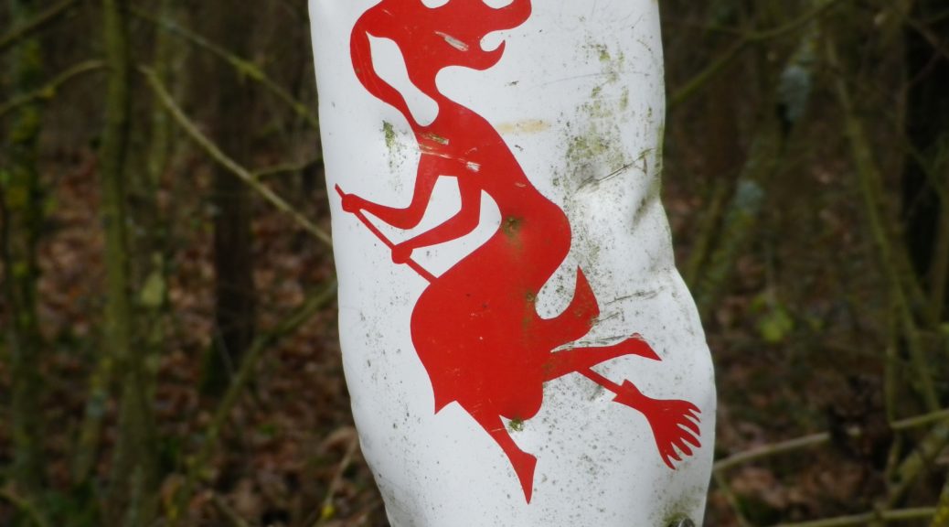
Marking: Red witch on a white background (See photo above.)
Trail Description: A gentle circuit walk through the well-known Weinhex vineyards, high above the lower Moselle.
Trailhead: Winningen, Flugplatzweg
Parking: Winningen: At end of the street; near a hut by the airstrip, on Flugplatzweg
Public Transportation Options:
Rail: Deutsche Bahn regional trains serve Winningen from Koblenz
Bus: EVM-VRM (Verkehrsverbund Rhein-Mosel) Linie 13 buses (from Koblenz) serve Bisholder, stopping at Aufm Schaubert, very close to the trail.
Suggested Stages: Not applicable
Trail Itinerary-Reference Points:
Winningen: Flugplatzweg, woods, vineyards, Weinhexweg, Brueckstuecksweg; Guels-Koblenz: Winninger Weg, Spielwieser Weg, Layerbach; Bisholder: Layerbach, in Bisholder, toward the Flugplatz; Winningen: on a trail following the airstrip fence line
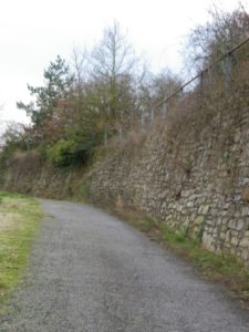
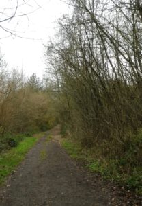
Representative Trail Photos:
Restrooms: None
Attractions on or near Trail: None
Tasting along the Trail: None
Alternative Options:
Hiking: An even shorter circuit, but highly rated for the views, is the Traumpfadchen Moseltraum, also starting near the air strip above Winningen.
Biking: The hugely popular Mosel Radweg, (Moselle Bike Trail) passes through Winningen along the Moselle, on a 3 kilometer stretch of its last stage.
Additional Information:
Regional: https://www.mosellandtouristik.de/de/radfahren-wandern/
Trail specific: https://www.outdooractive.com/de/wanderung/mosel-saar/winninger-hexenpfad/106936099/#dm=1
Comments:
An easy trail with fantastic views, for the whole family.