Trail Name: Chemin du Vigneron (Wine-maker’s Trail)
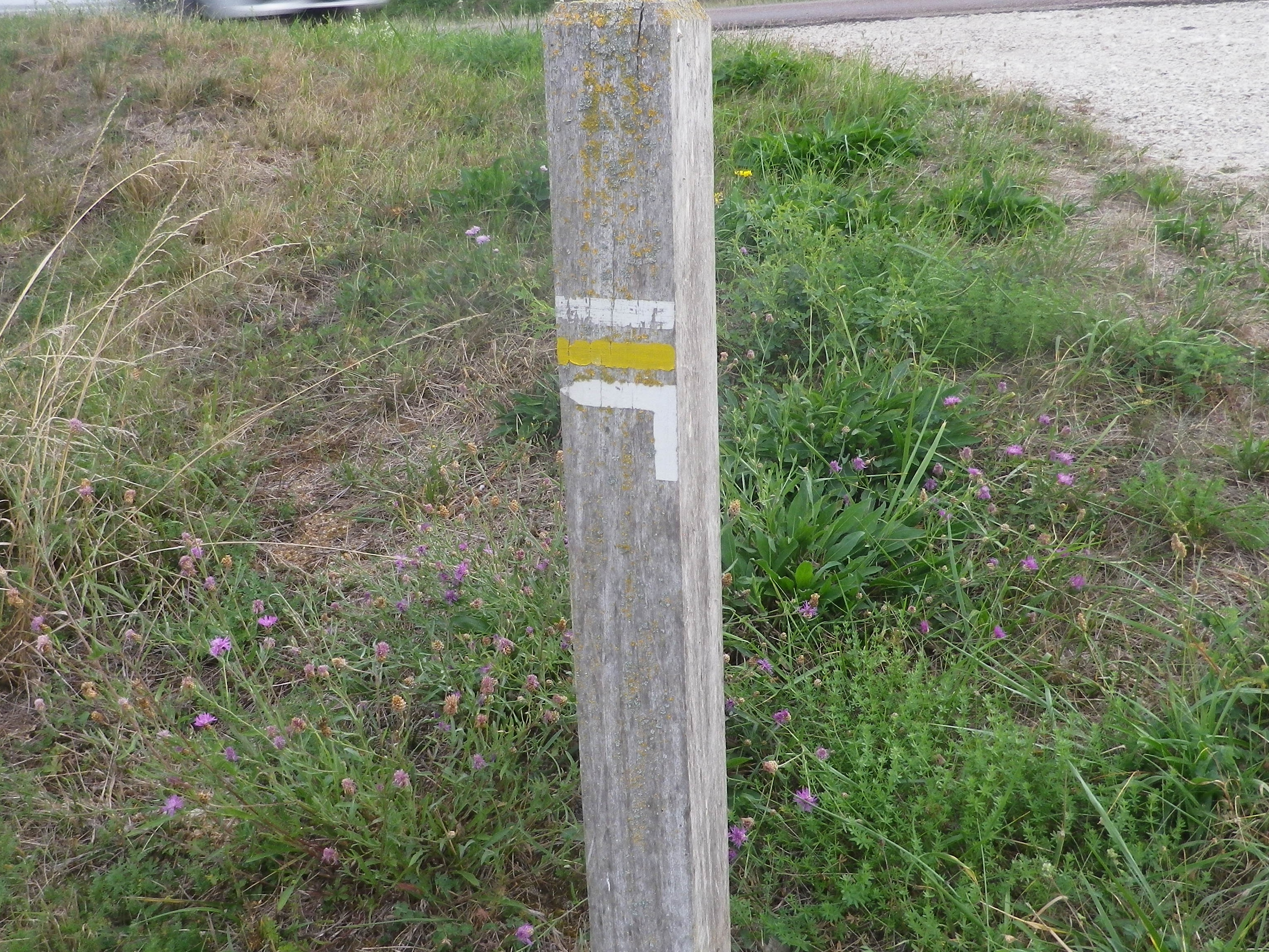
Trail Type: Mid-distance circuit; well-maintained with hard (paved or packed earth) surfaces; marking for this itinerary is fairly consistent throughout, (but was missing in a couple of places in 2019).
Length:
Total – 11 kilometers/6.8 miles
Convenient to: Troyes, and Bar-sur-Seine, France
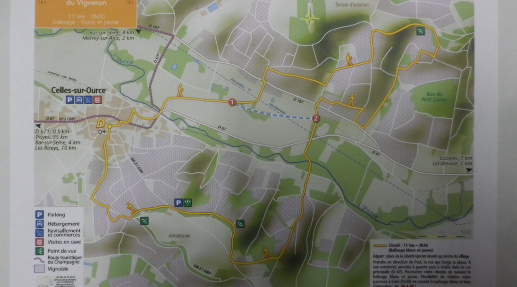
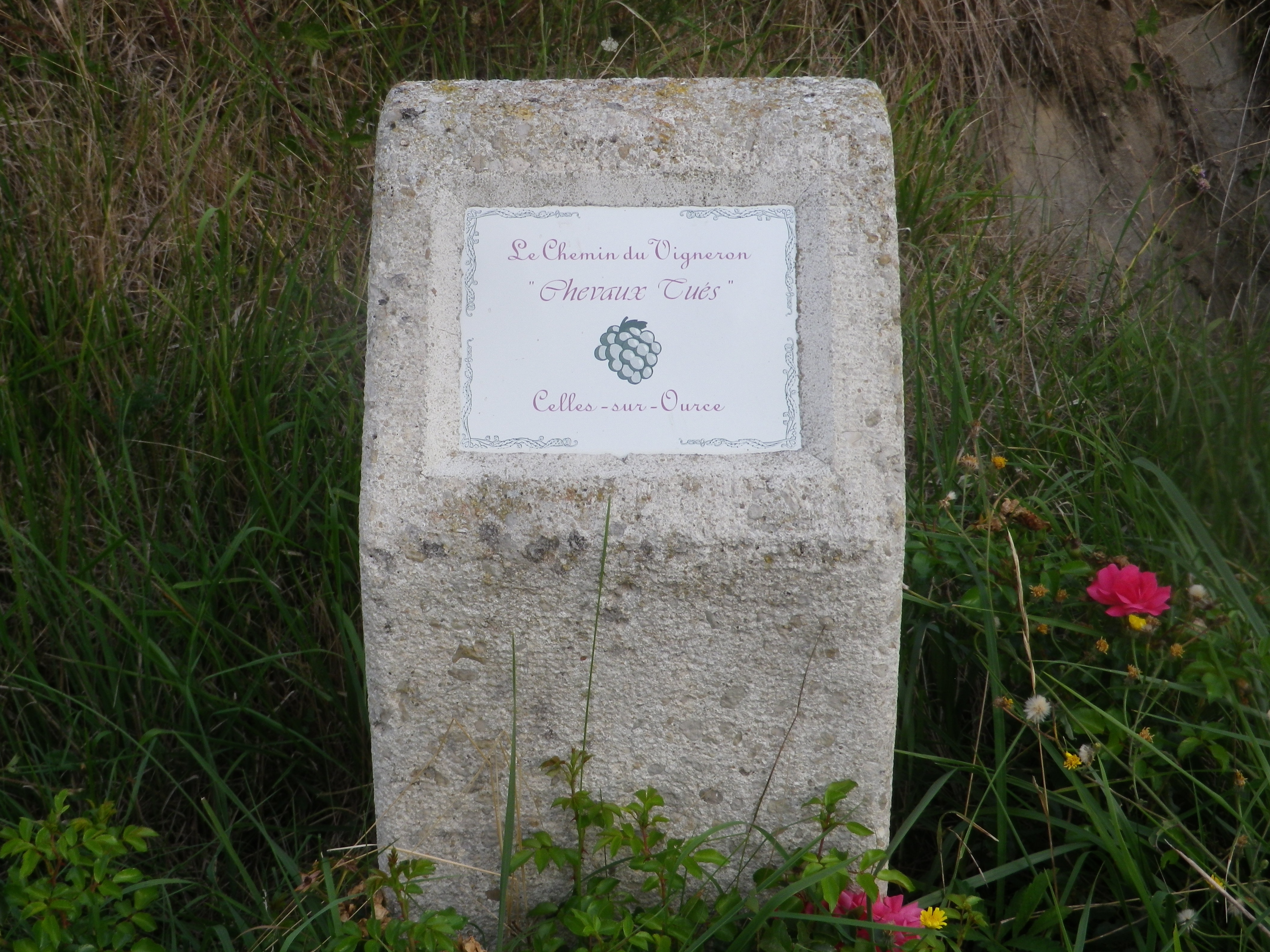
Marking: Yellow bands and white bands, as well as informative concrete posts in vineyards marking named vineyard areas
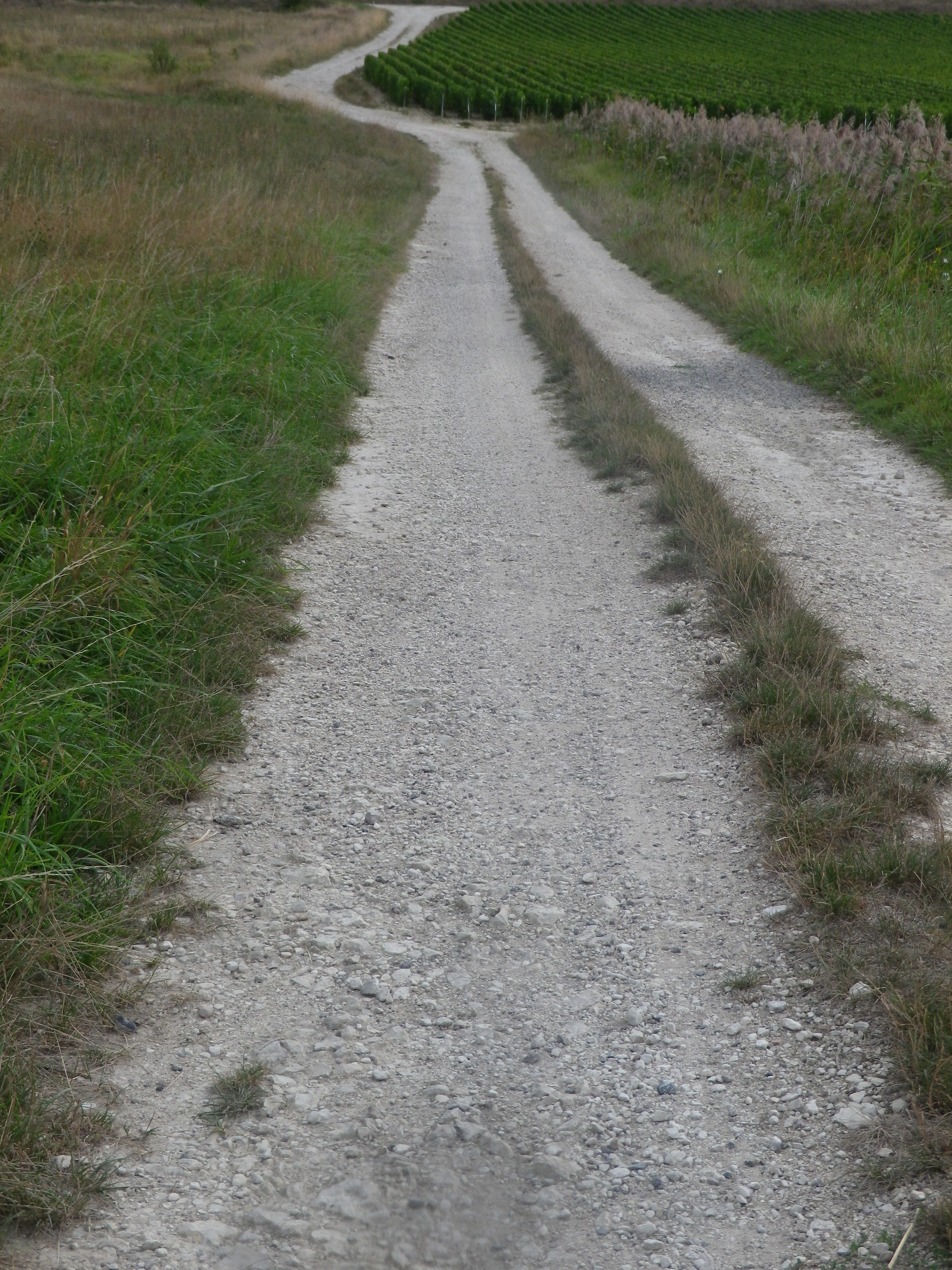
Trail Description: A mostly gentle circuit trail circling through and above the village of Celles-sur-Ource and its vineyards, with scenic look-outs and small woods to enjoy along the way.
Trailhead:
Celles-sur-Ource: Place de la Liberté, (along Rue du Pre)
Parking:
Celles-sur-Ource: Place de la Liberté, (along Rue du Pre)
Public Transportation Options: None practical
Suggested Stages: Not applicable
Trail Itinerary-Reference Points: (Clockwise)
Celles-sur-Ource: R. du Viviers, right onto Grande Rue/D67, cross to R. du Jardin, path bordered by trees (Chemin du Tacot) (alternate R. du Pont), D67 to cross River Ource, continue straight ahead into fields, follow to D167, dogleg left onto path through vineyards, continue uphill to first right, keep right following lower path, left (uphill) at T intersection, first right, then again: left (uphill) at T intersection, first right, follow to observation point, downhill past a small triangular shaped copse of trees, left onto a fairly straight agricultural path downhill for about 750 meters (the Woods of Petit Corroy will be a couple of paths to your left), at D167, take a path left heading northwest that parallels this road; Cross D167, and take path lined briefly with pine log rails, continue along path (Les Pres de Maure); Cross D67; Continue uphill through trees, crossing the River Ource, keeping right at the Y intersection, at the last vineyard turn right through trees, and for a few steps onto La Plaine de Celles/GR2, before taking immediate right; (You will be below the tree line) and at 4 way intersection, continue across the intersecting road (A long tree line will be to the left, and where they end, go right, and begin descent), turn right, then left, at another copse turn right to intersection of R des Gamaches/R du Creux Michel/R du Val Lune; Continue straight on R du Val Lune-R du Trot, cross straight at R du Ruisselot to parking
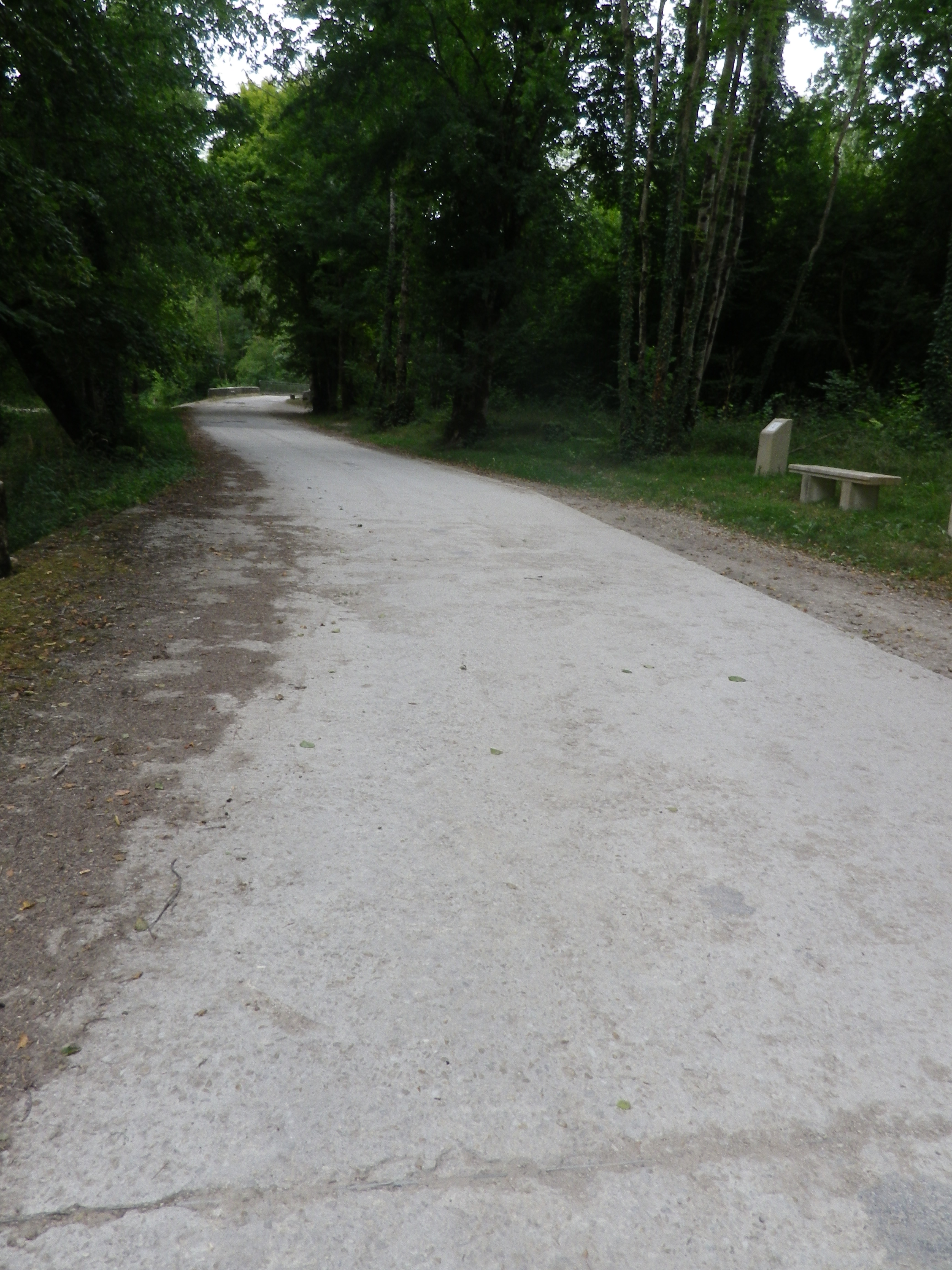
Representative Trail Photos:
Restrooms: None observed
Attractions on or near Trail:
Celles-sur-Ource: 2 Rue de l’Eglise, the Musee de la Bouteille Ancienne, affiliated with the champagne house of Benoit Tassin, is a small museum dedicated to the evolution of champagne bottles
Tasting along the Trail:
Several champagne producers are in the village, and a couple are actually along the trail
Alternative Options:
Hiking: Cadoles et Vignes de Courteron, a circuit of approximately 10 kilometers in the village of Courteron
Cycling:
-Cote des Bars: Circuit du Barsequanais, a 53-kilometer circuit through the vineyard areas by Essoyes
-Les Riceys: Circuit Les Riceys, coteaux ; a 14-kilometer long circuit trail around the well-known wine village of Les Riceys (Possibly best with mountain bikes, hybrid bikes certainly)
Additional Information:
Regional: https://www.tourisme-cotedesbar.com/
Trail specific: https://www.france-voyage.com/balades/chemin-vigneron-1481.htm
Comments:
A pleasant circuit through countryside that is little visited by tourists.
Not much shade on the north side (north of D69) of this circuit.