Trail Name: Schoppenradweg
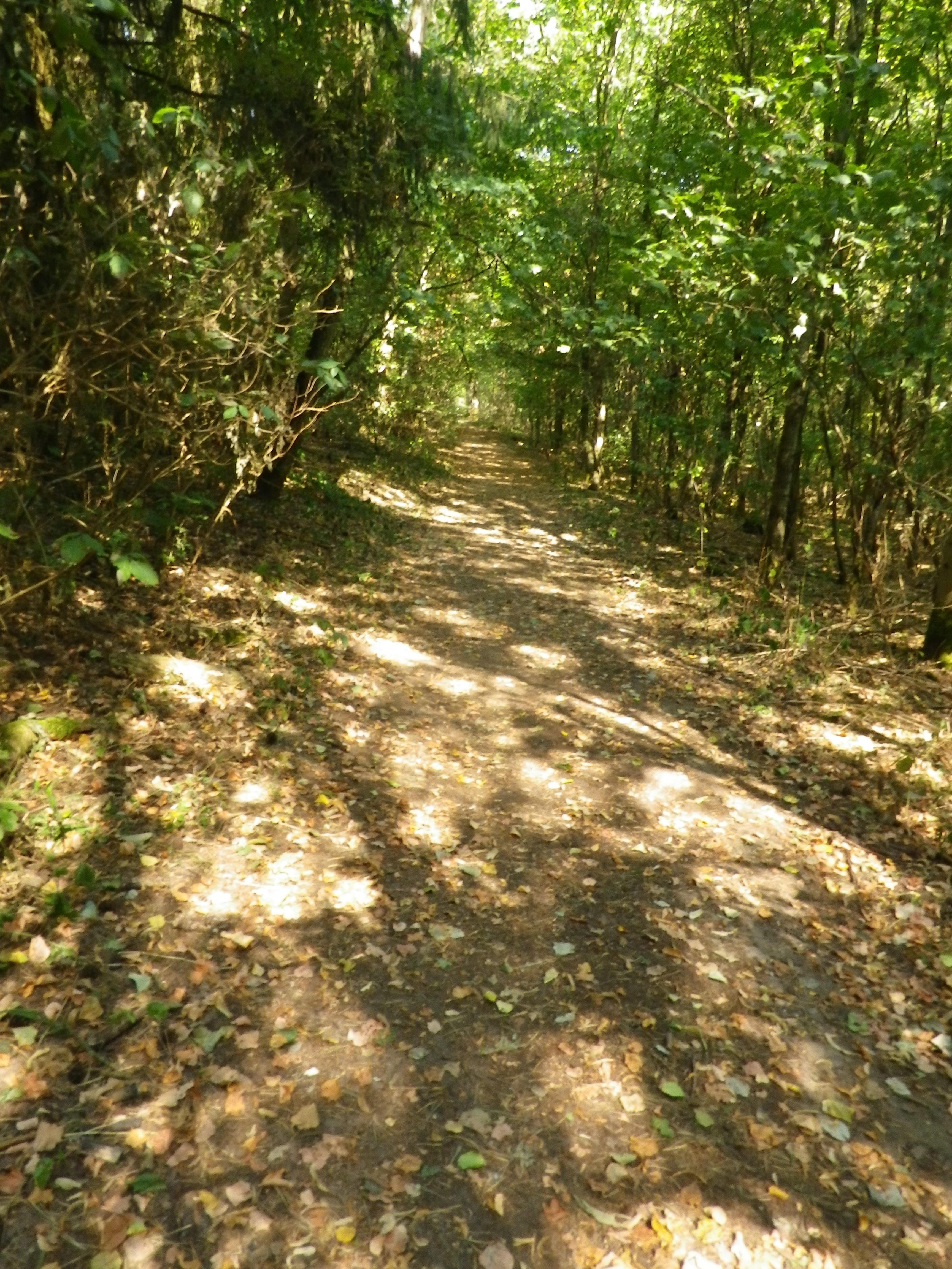
Trail Type: A medium distance cycling circuit; well-maintained and almost exclusively paved, marking on the trail is good.
Length:
Total – 45 kilometers/28 miles
Convenient to: Wertheim, or Wuerzburg, Germany
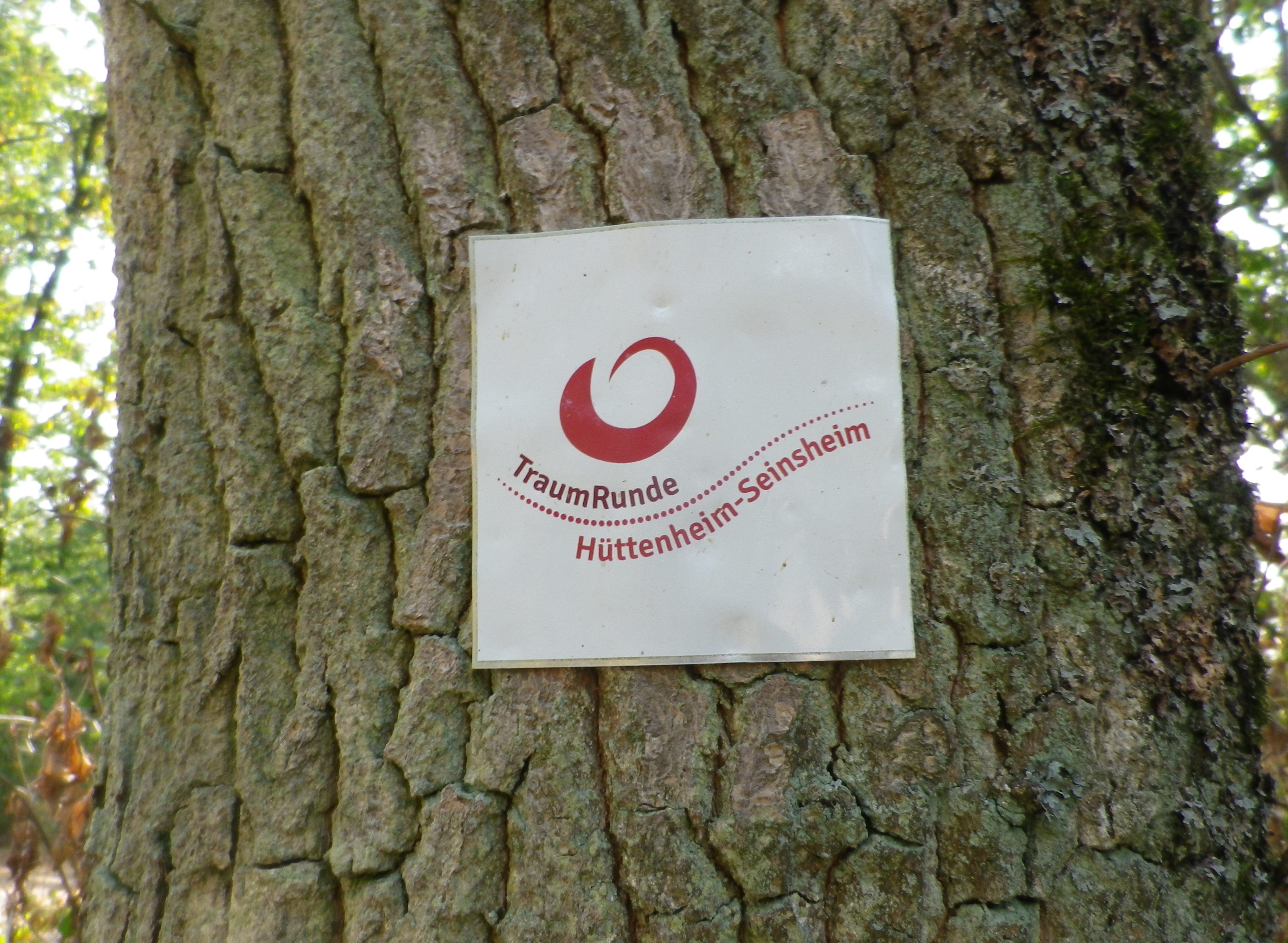
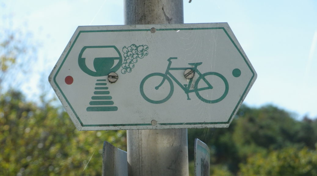
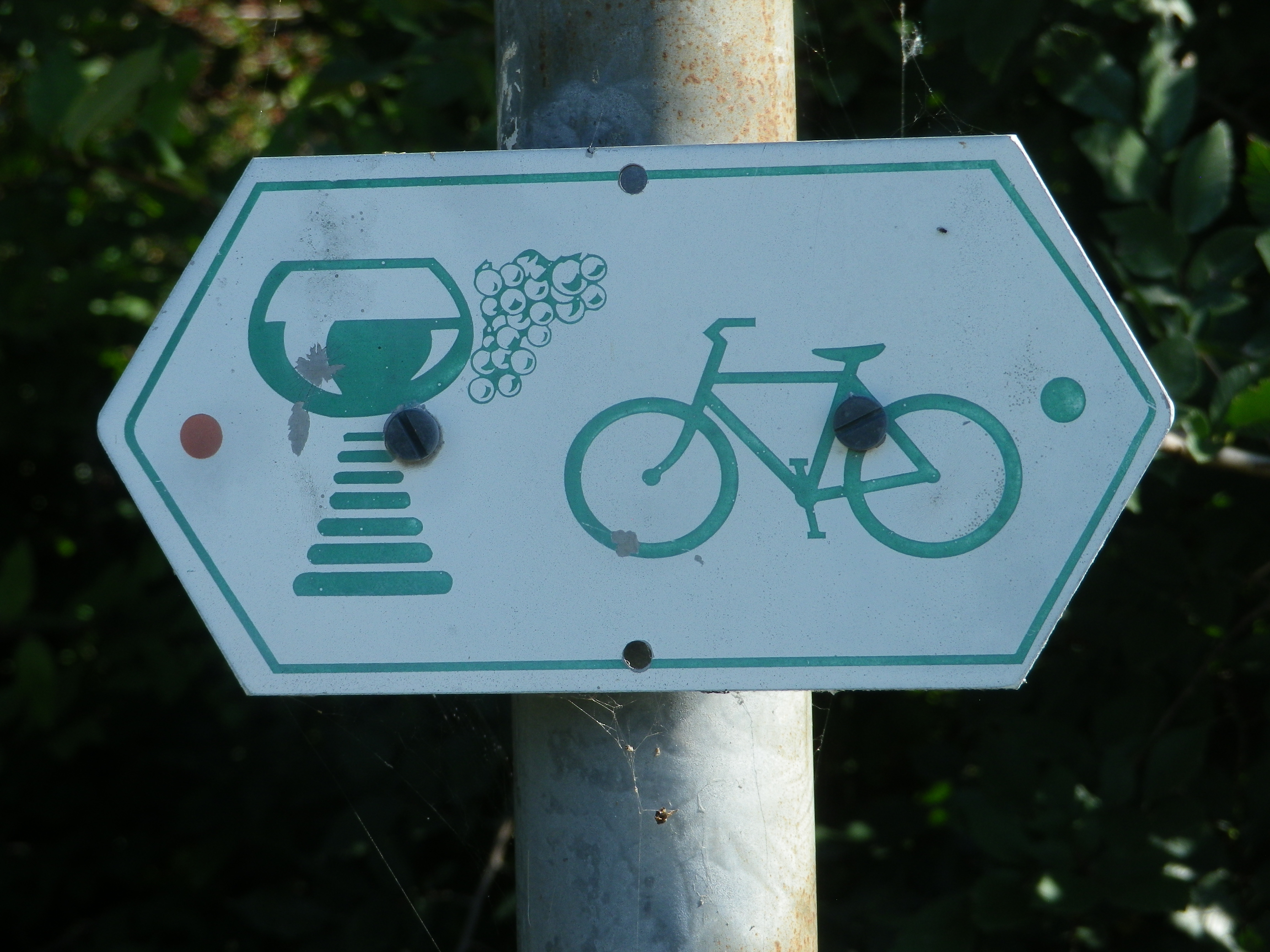
Marking: Schoppen (wine glass) with bike
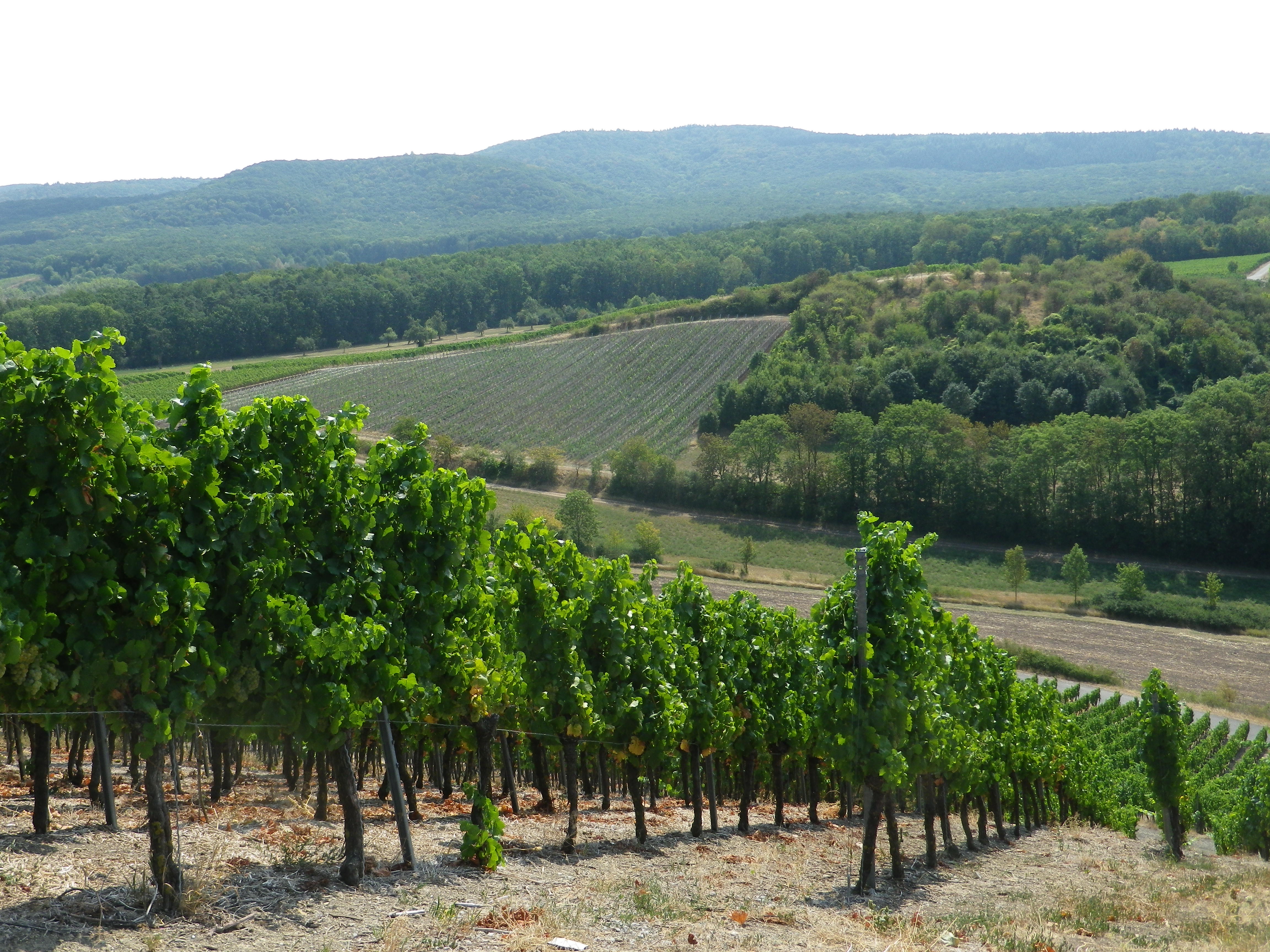
Trail Description: An easy and pleasant circuit through a wide variety of landscapes, with lots of history, views and things to do, on bike paths that are excellently maintained and a pleasure to ride on.
Trailhead:
Official: Erlenbach Bei Marktheidenfeld
Me: Uettingen (B): Helmstadterstrasse-Hauptstrasse
Parking:
Uettingen: Am Graben x Muehlweg, a large paved parking area
Erlenbach Bei Marktheidenfeld: large paved parking lot at Wiesenweg x Hirtenweg, by the Festhalle
Marktheidenfeld: Parkplatz Mainkai, large paved parking lot just before the bridge, off Brueckenstrasse
Lengfurt: Off St2299, by the river, a large free, and paved lot
Public Transportation Options:
Bus: Buses are the only option in this area, run by the VVM (a Main region company). But they are linked with the Deutsche Bahn site for details. See https://int.bahn.de/en
Suggested Stages:
Not Applicable
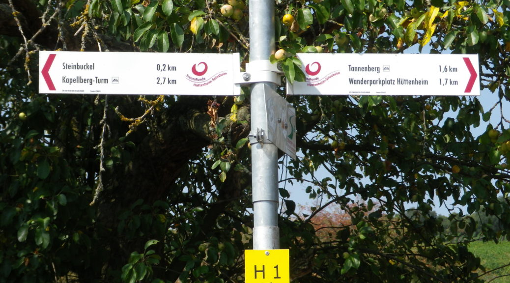
Trail Itinerary-Reference Points: (Counterclockwise)
Uettingen: Hauptstrasse-Kirchbergstrasse, Birkenfelderweg, fields; Remlingen: Cross Weberleinsweg x Birkenfelderstrasse, to Birkenfelderstrasse, Zehntbergweg; Tiefenthal: Kreuzstrasse, Obere G Strasse, Wasserweg, cross Hauptstrasse to path along creek; Erlenbach: Wiesenweg, Im Bruhl, left at lone farm house to pass under Wuerzburgerstrasse, fields; Marktheidenfeld: Am Weiler, under Dillbergstrasse, along creek path, under Sudring, Lohgraben under B8 to Friedenstrasse, Kreuzbergstrasse, cross B8 to Mitteltorstrasse-Fahrgasse, to Main River trail; pass Mainuferbiergarten, pass Klaeranlage; Lengfurt: Along the river; Homburg: under ST2299, Maintalstrasse, under ST2299, along river: Bettingen: Geiselbrunnweg, Dorfstrasse-Hauptstrasse, Dertingerweg, over A3 on Almosenberg, Hymerring, pass Kletterpark; Dertingen: Sandweg, Albachstrasse/L2310, Al Mandelberg; Wuestenzell: Along the Aalbach; Holzkirchen: Bruckenstrasse, Baltasar Neumannstrasse (P), Klosterstrasse, fields, forests; Uettingen: Untere Muhle-Hollerbuschweg
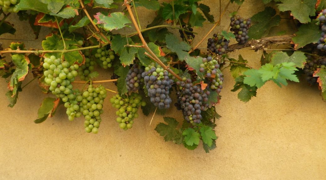
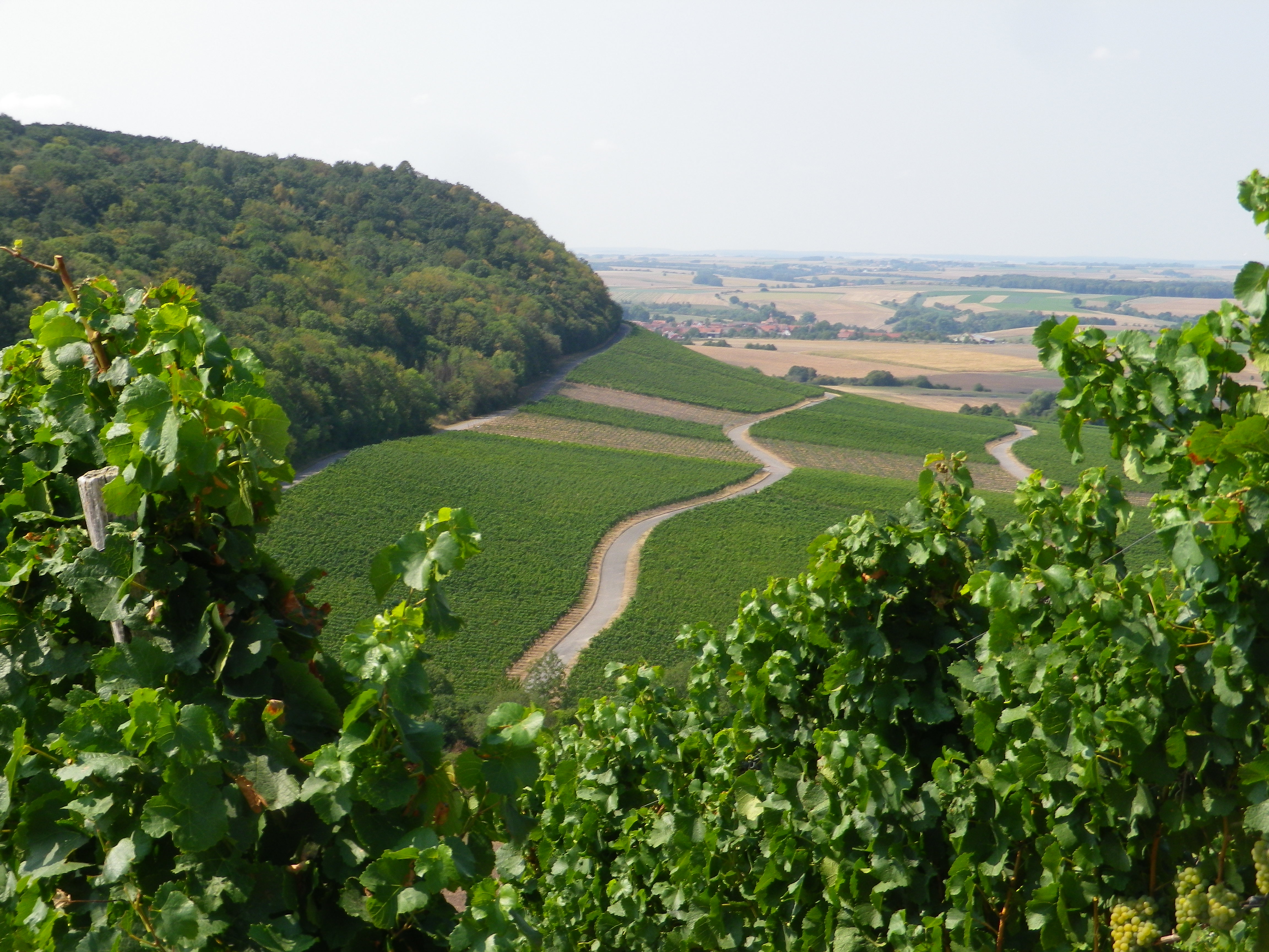
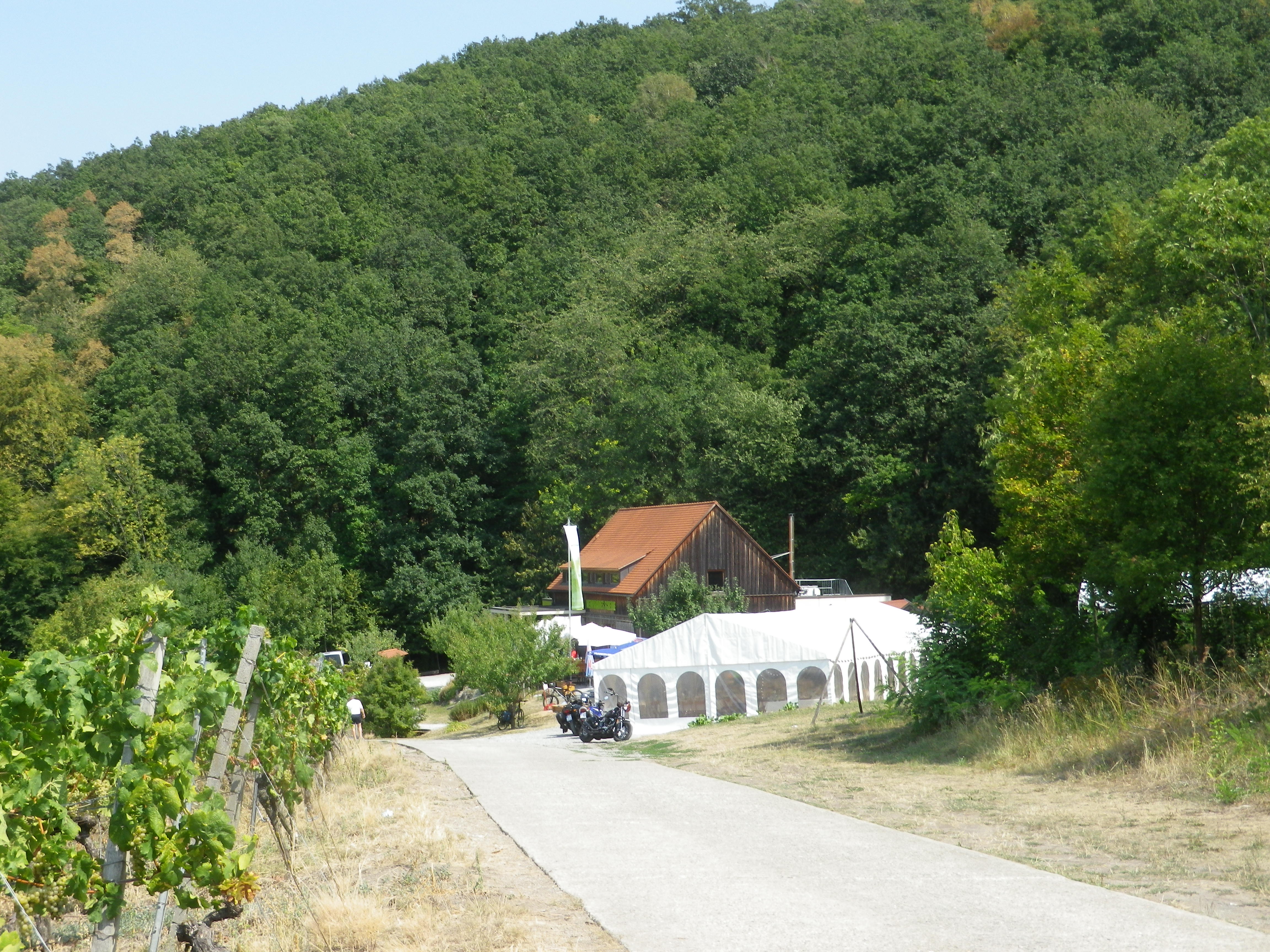
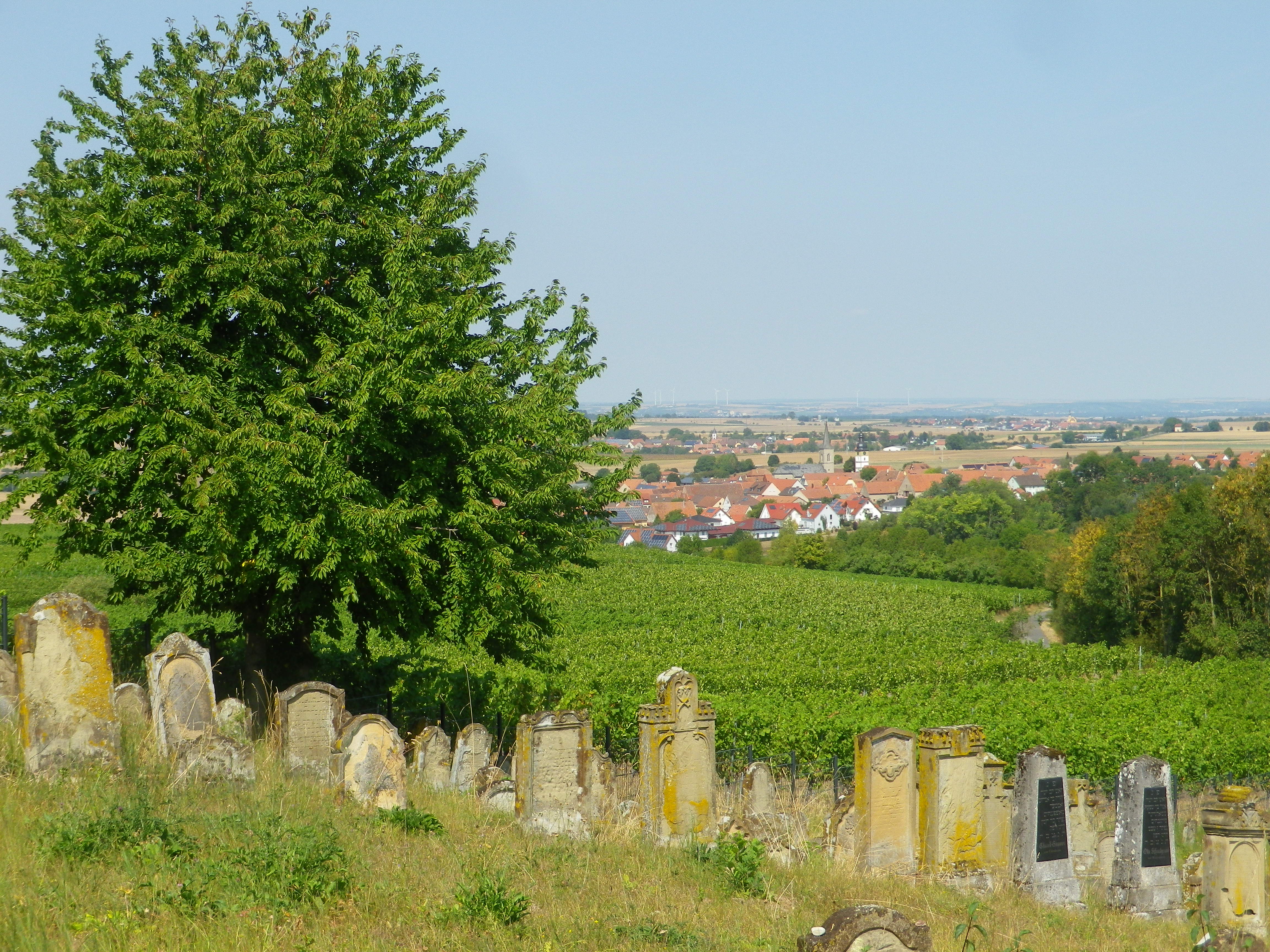
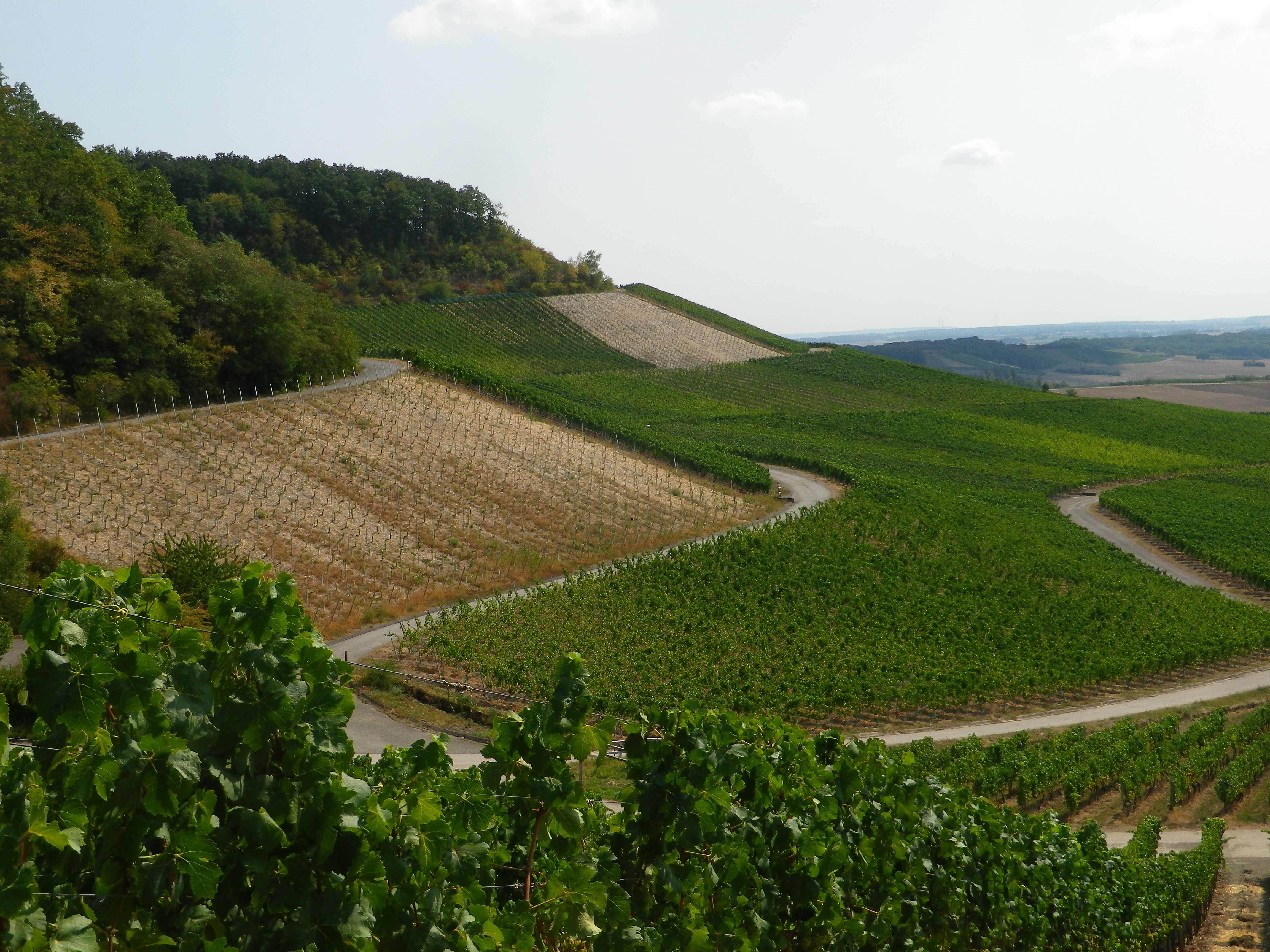
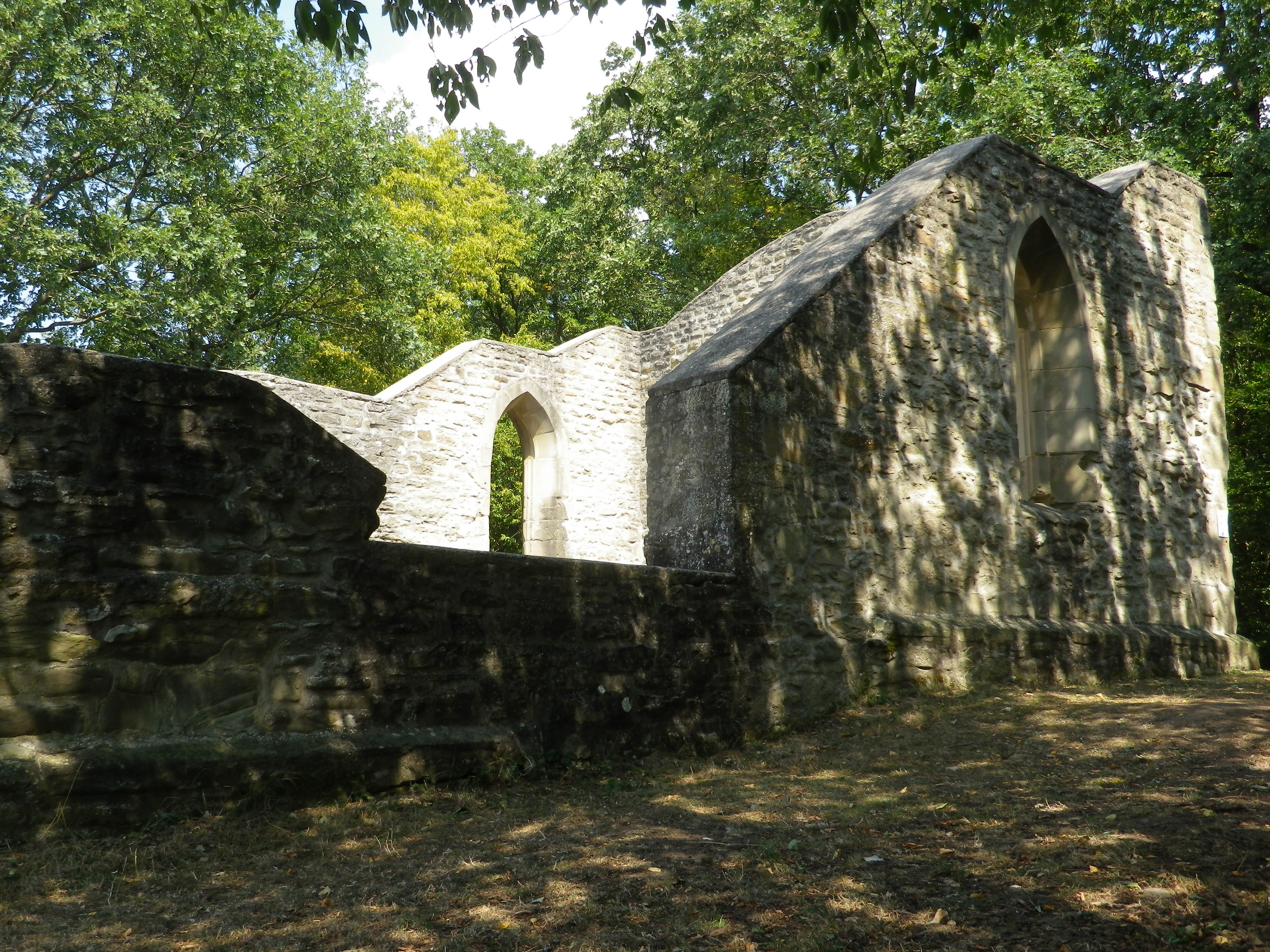
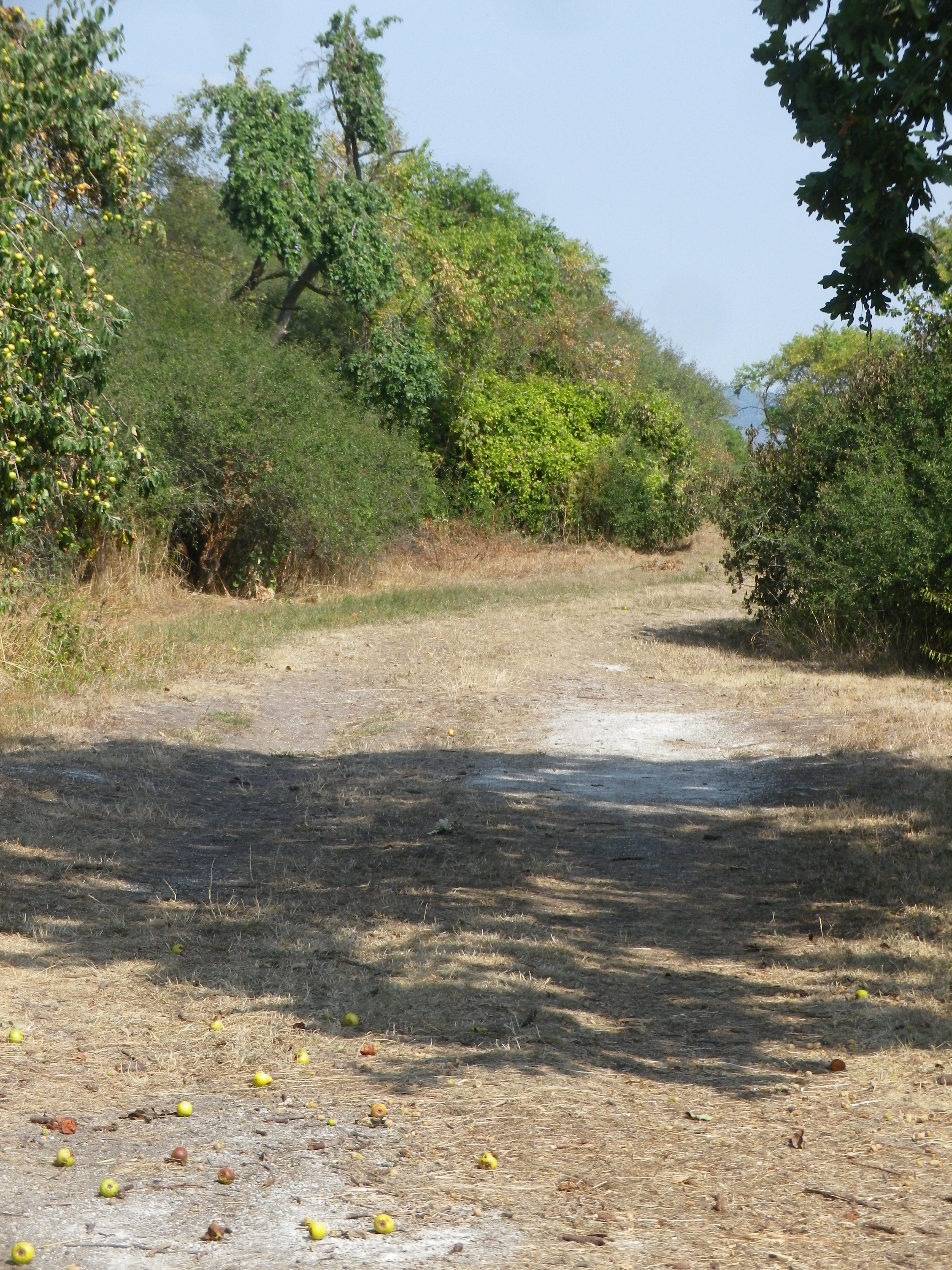
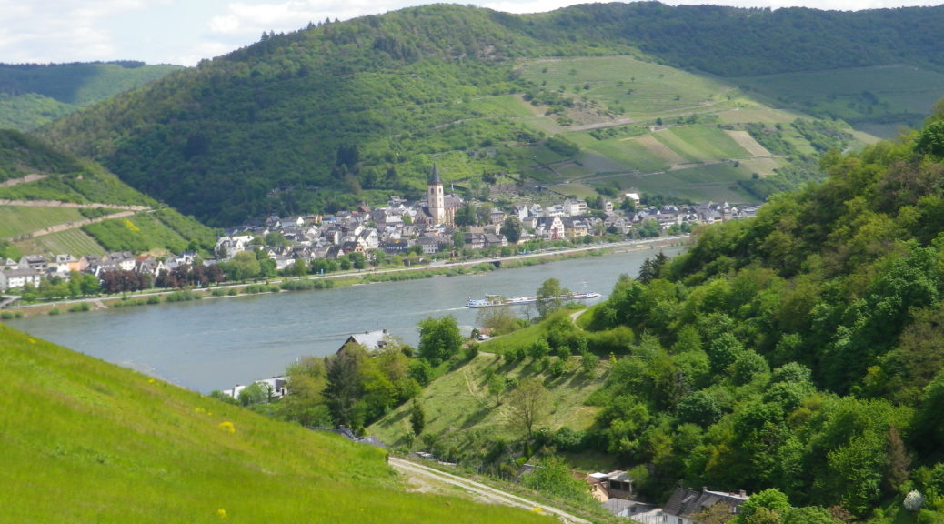
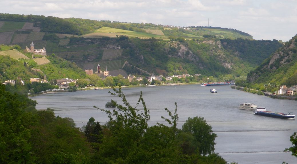
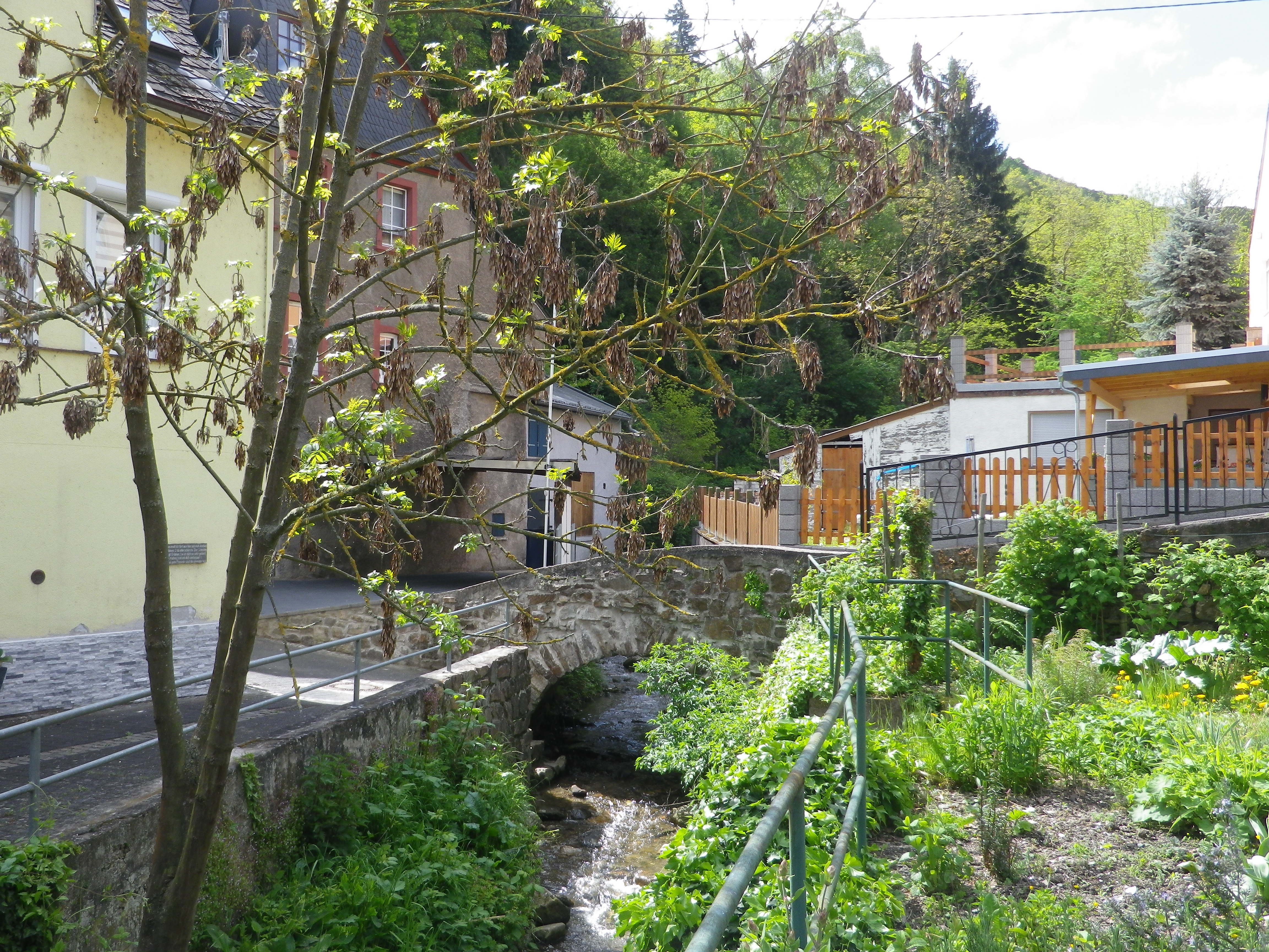
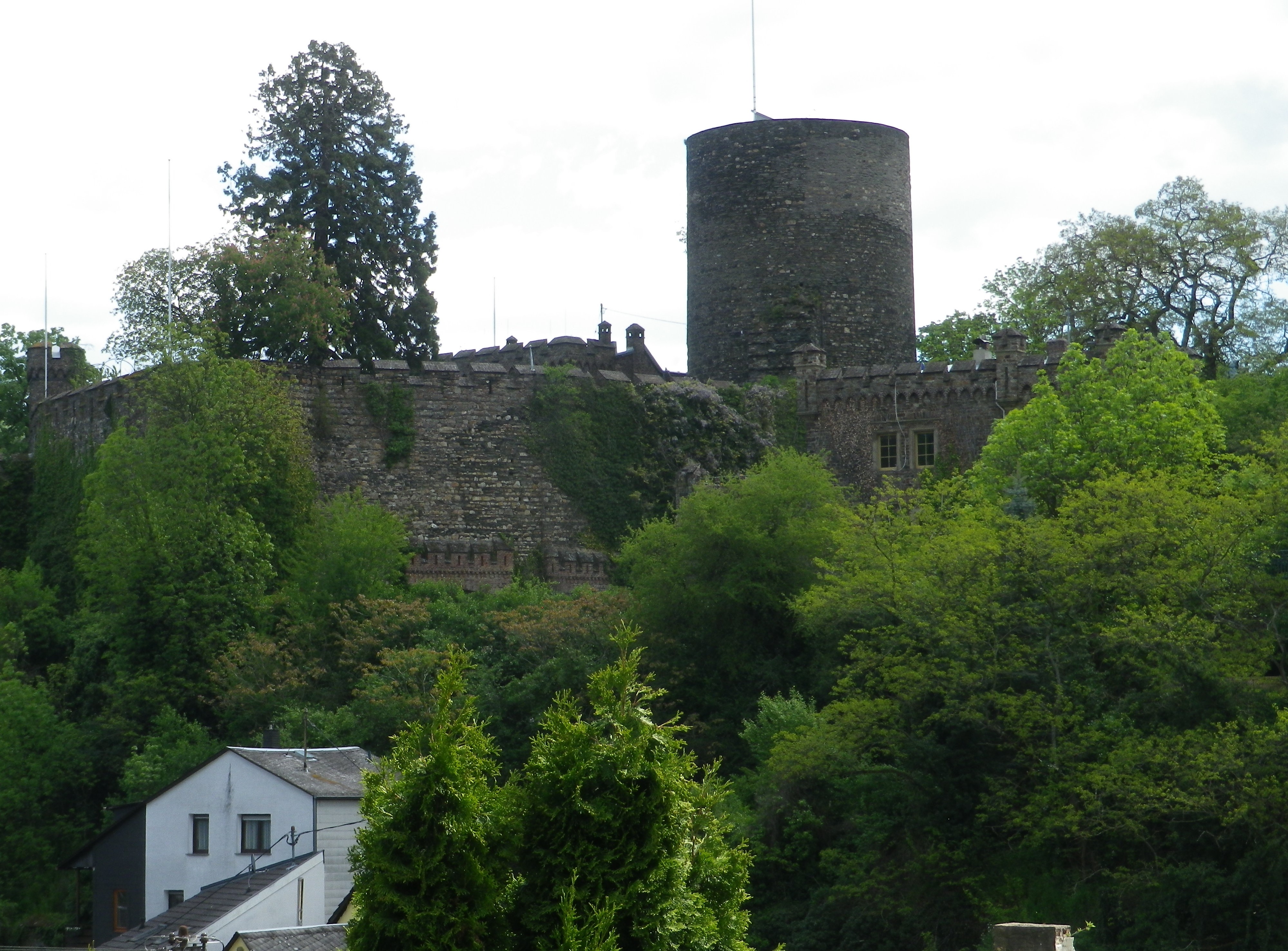
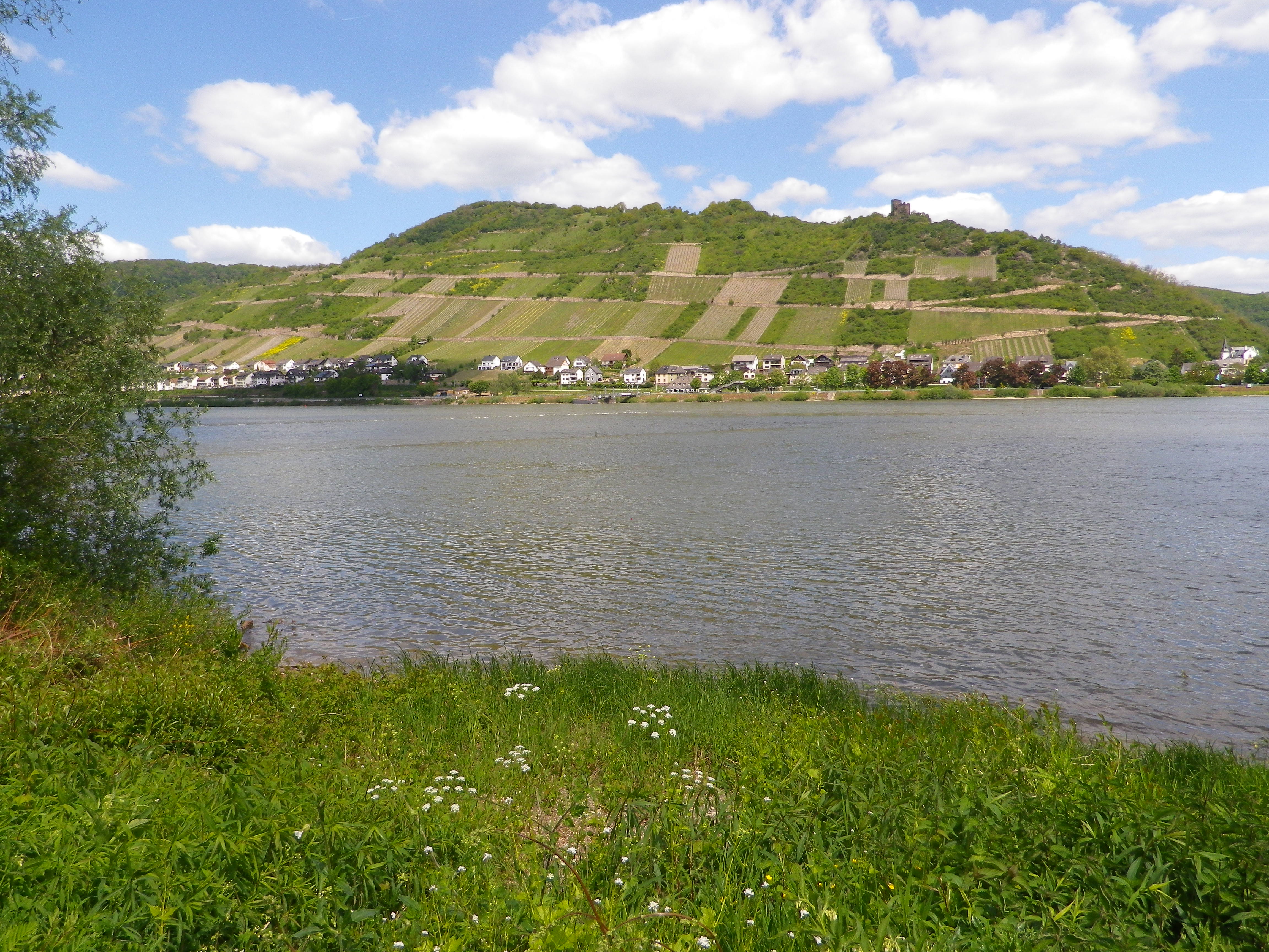
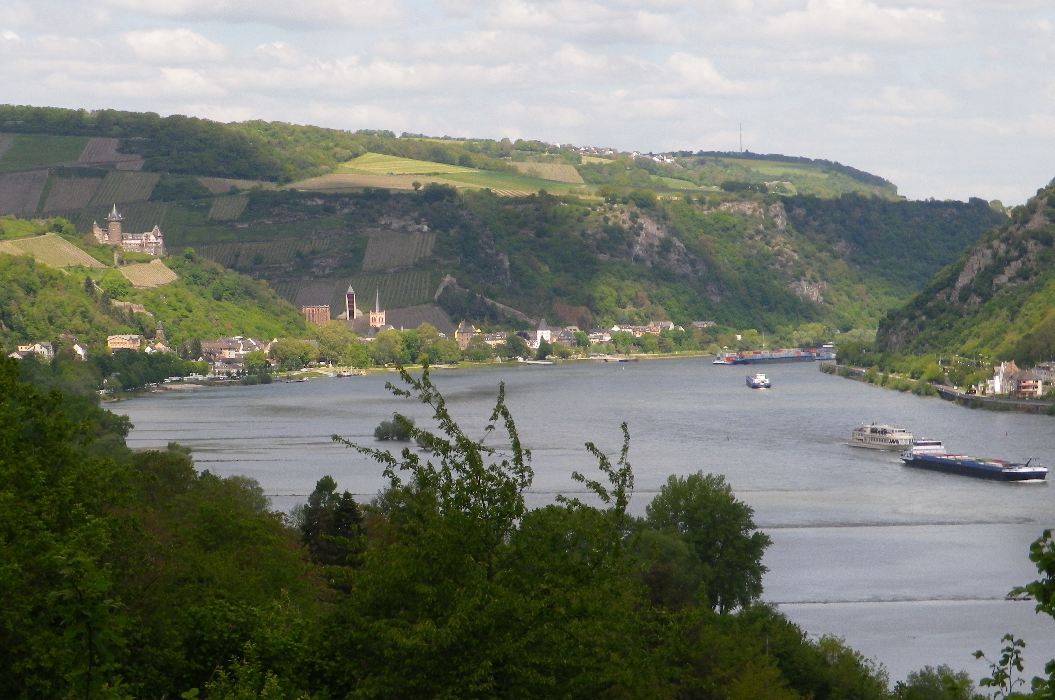
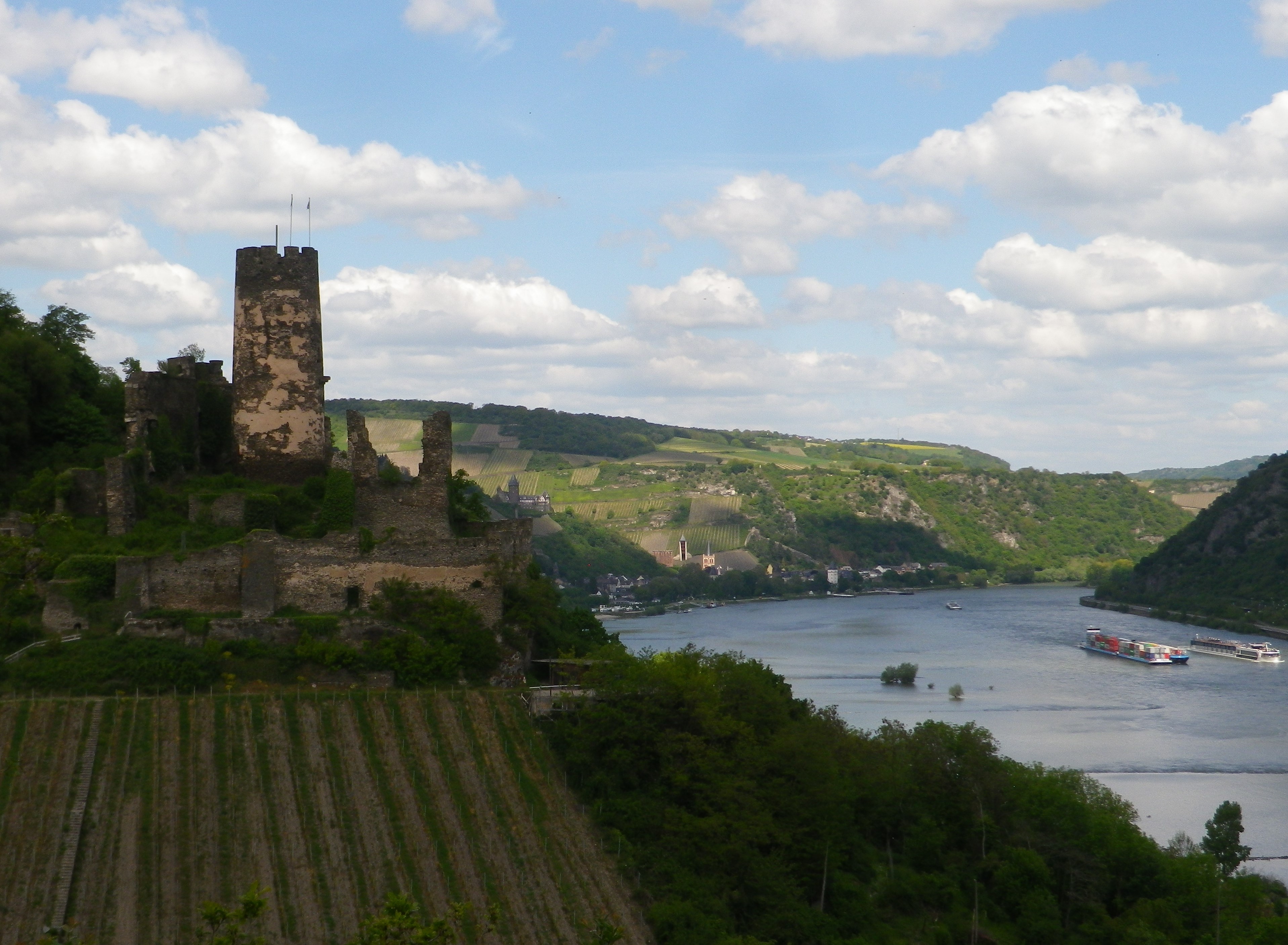
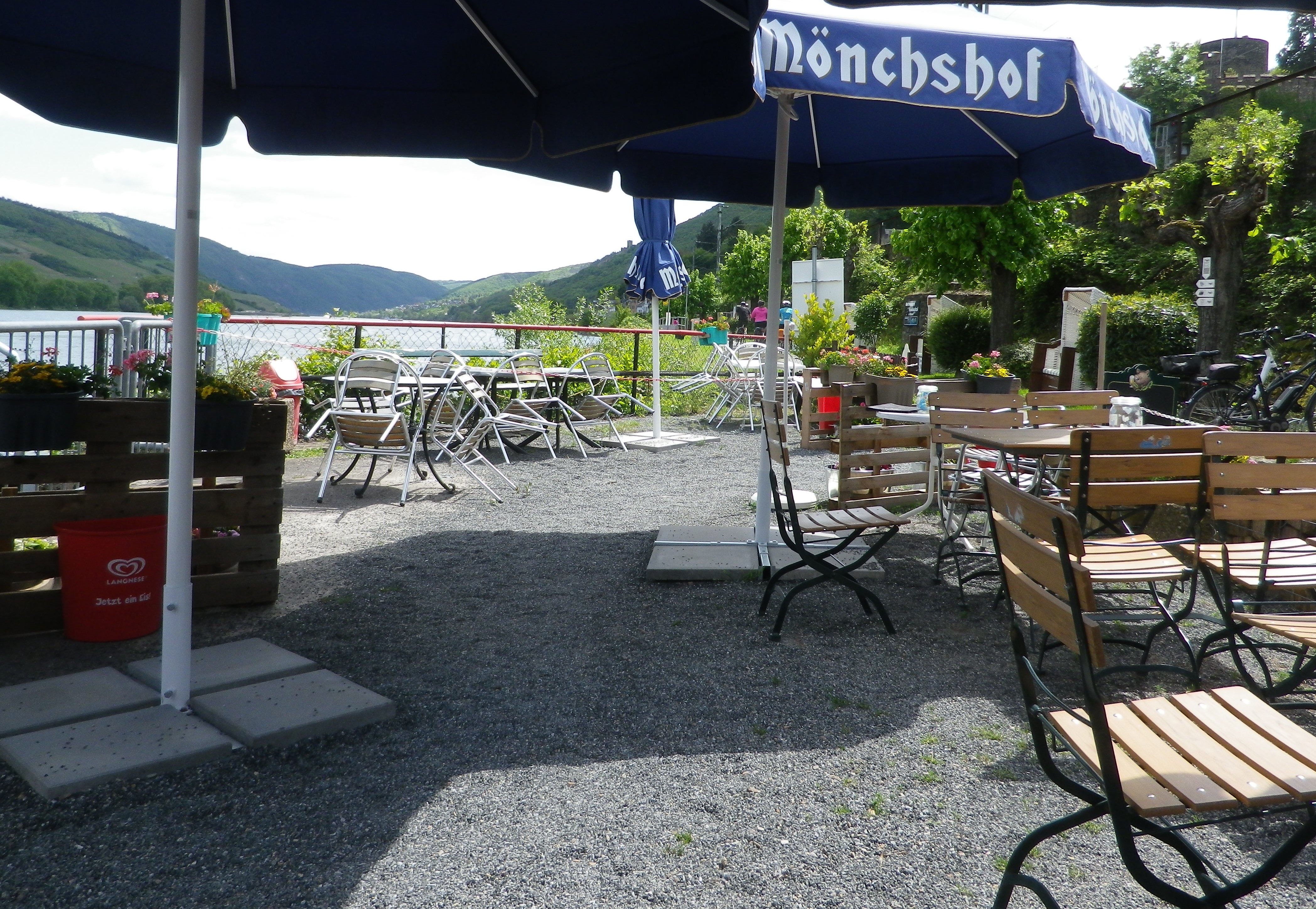
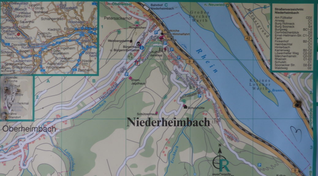
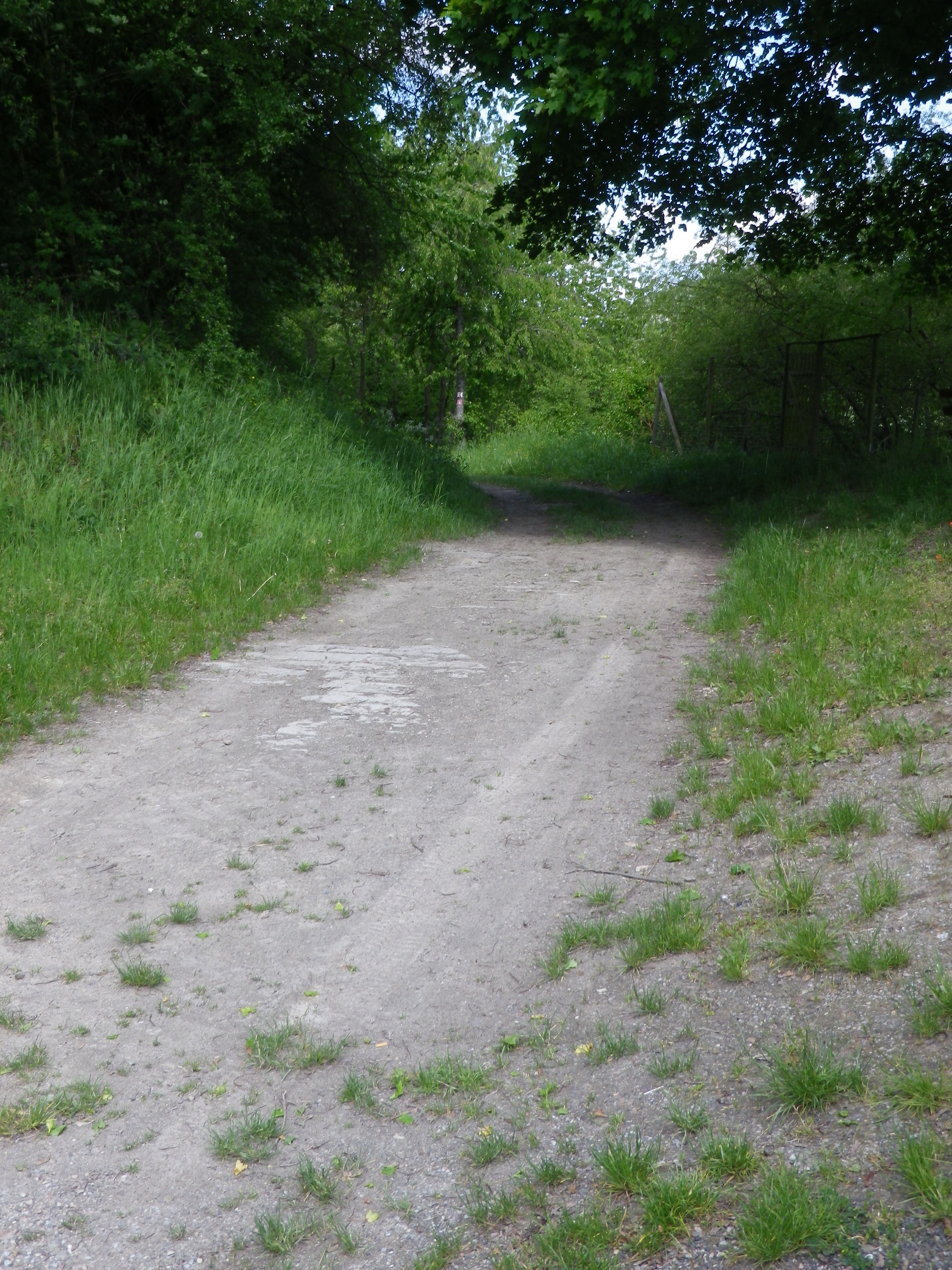
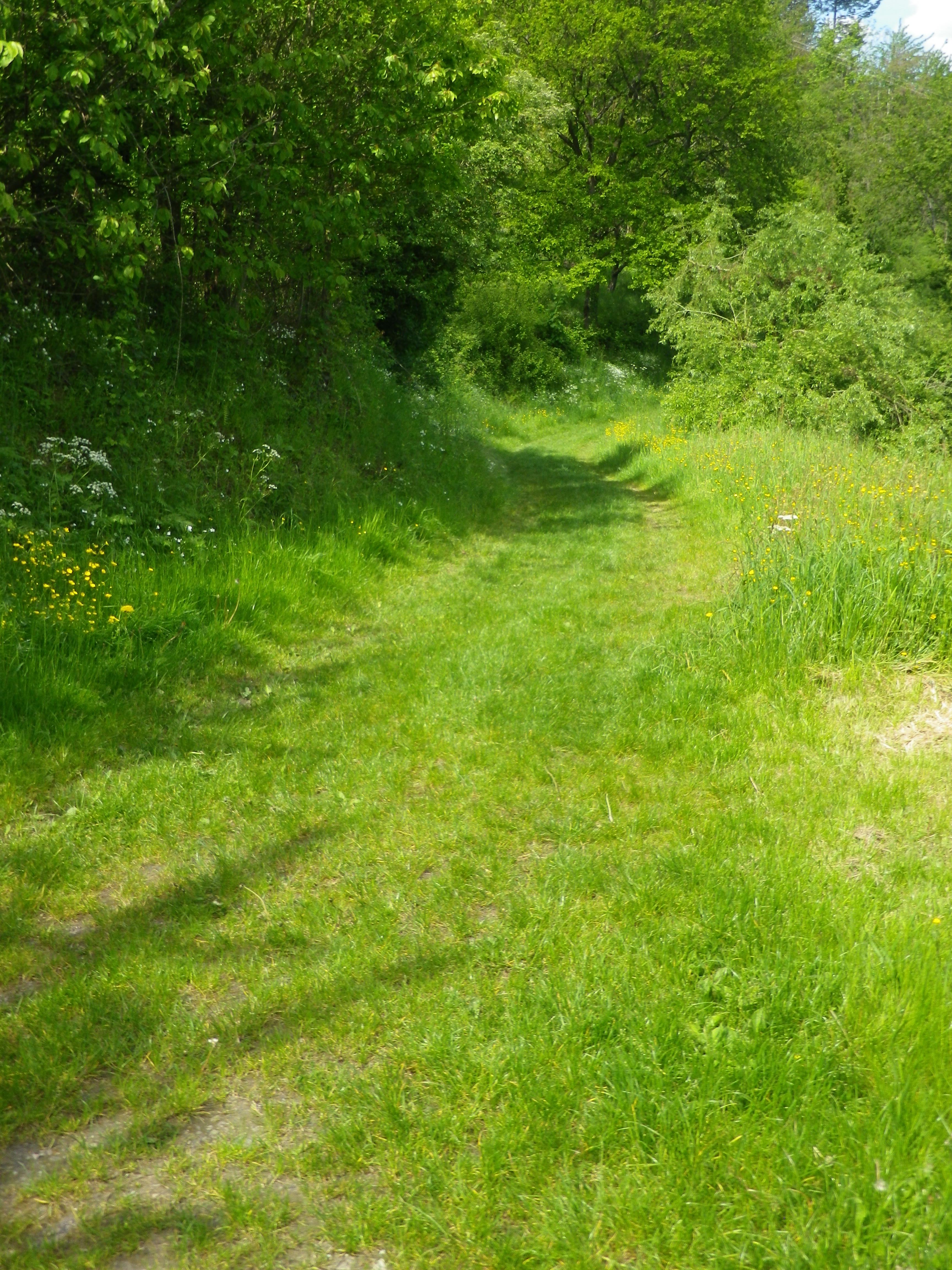
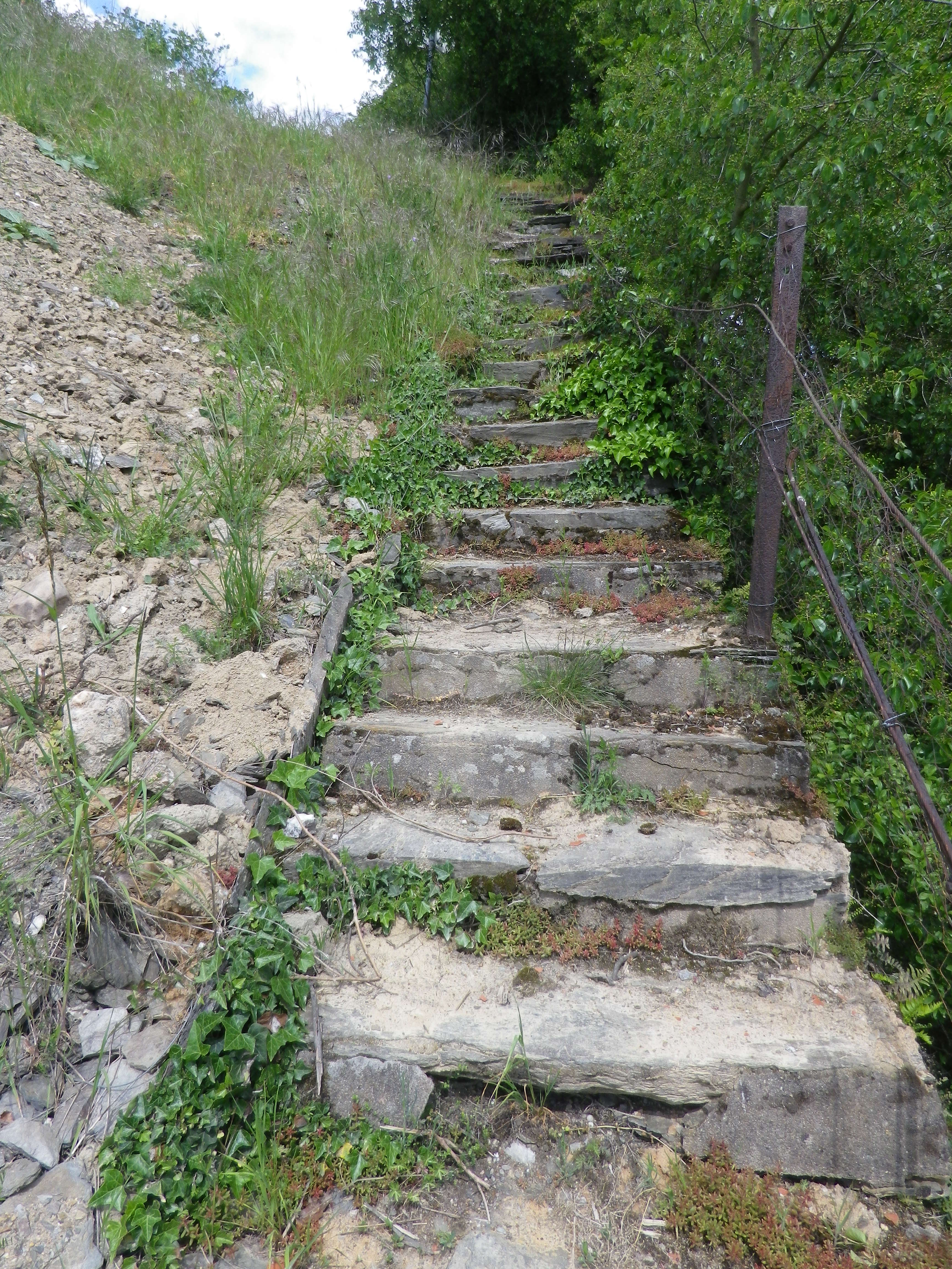
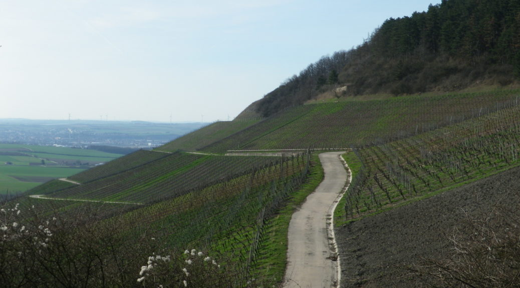
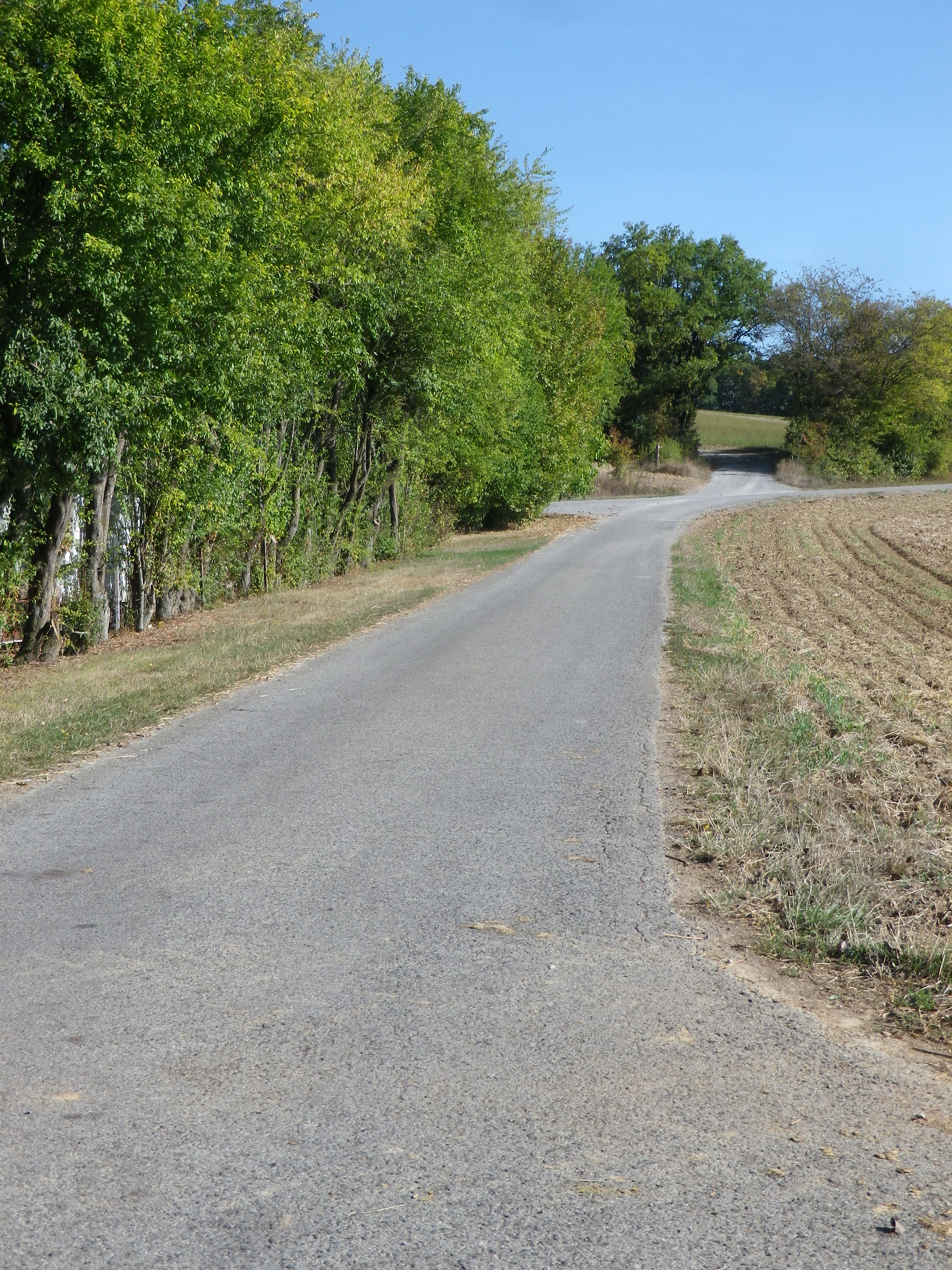
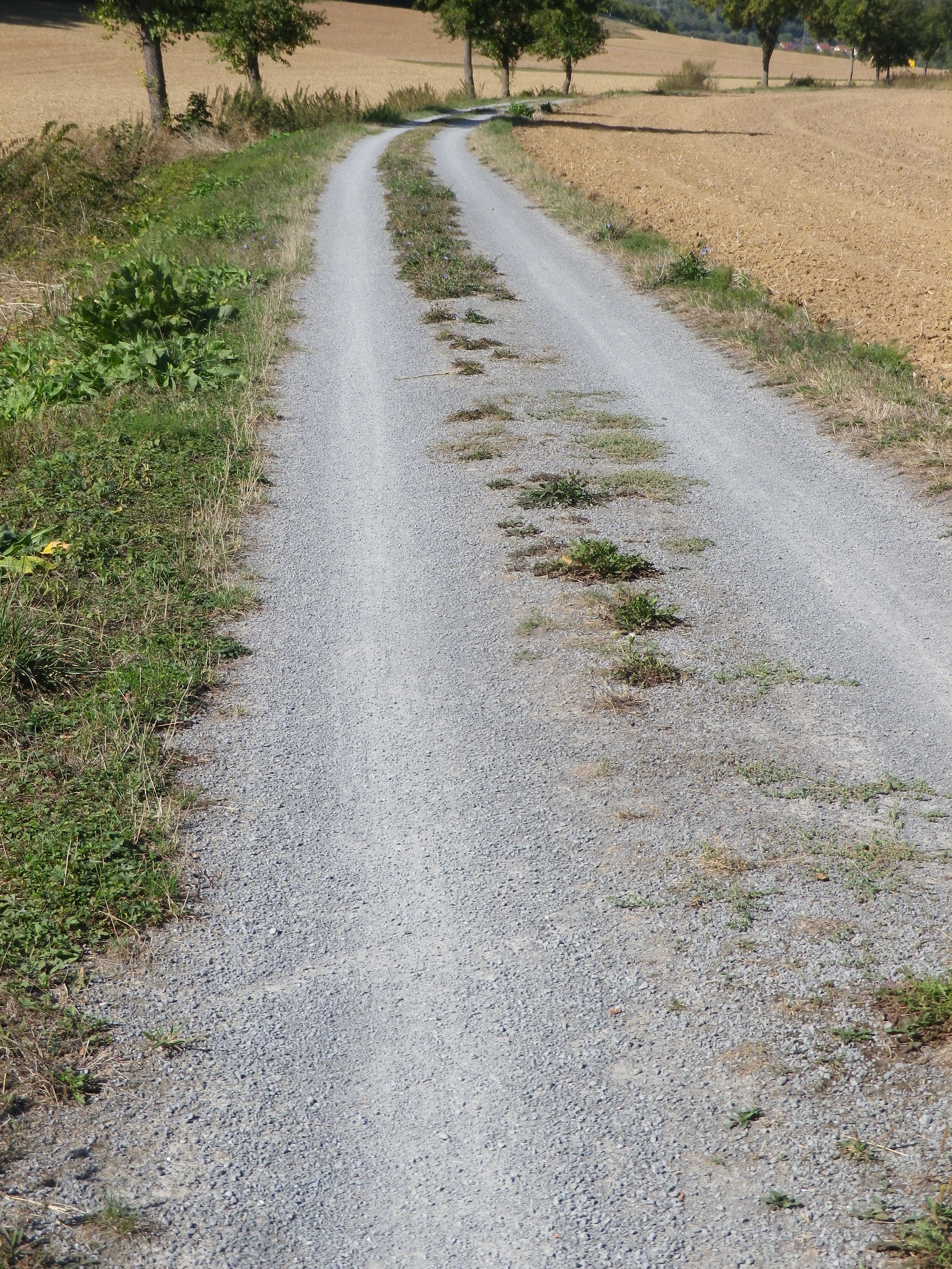
Representative Trail Photos:
Restrooms:
Marktheidenfeld: Marktplatz, between the Volkshochschule and St Laurentius Church
Lengfurt/Triefenstein: downriver from the parking lot, off Sr2299. Look for a small green corrugated structure
Attractions on or near Trail:
Marktheidenfeld – the Franck-Haus is a fine building constructed in the baroque for a wealthy wine merchant. Recently renovated, the façade, baroque rooms and the old wine cellar are worth a visit. Exhibits rotate in other parts of the building as well.
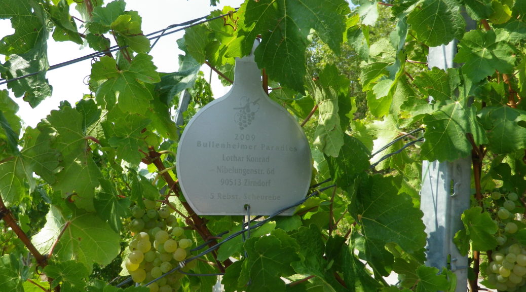
Homburg – Rebsortengarten, (a grape varietal garden), a collection of vines (with labels) providing a quick reference for grape varietals grown regionally.
Tasting along the Trail:
Marktheidenfeld – Several pubs and restaurants offer local wines.
Lengfurt/Triefenstein and Erlenbach bei Marktheidenfeld both have a couple of wineries and vineyards outside the village.
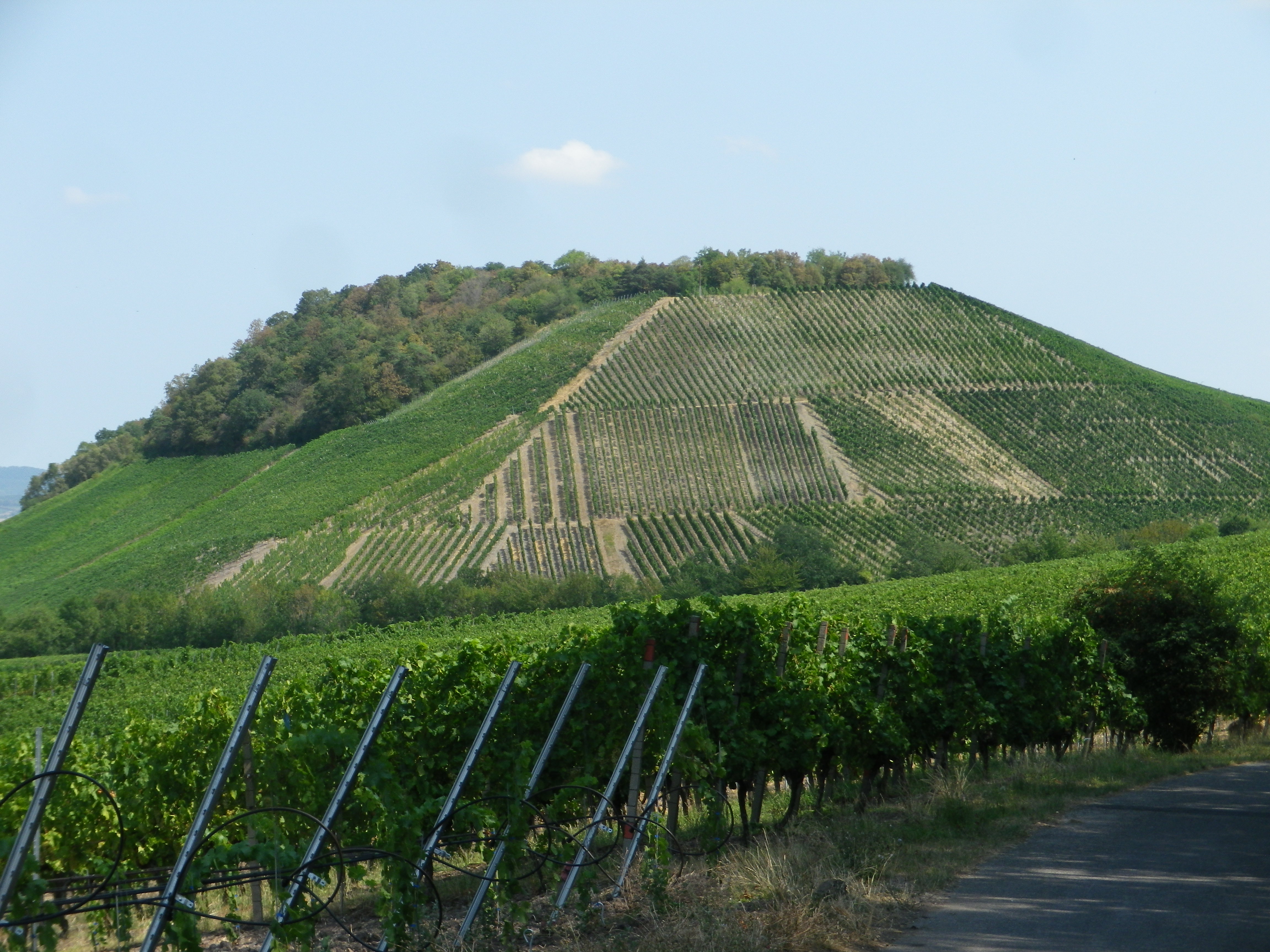
Homburg am Main is the village with the most choices for wineries or wine shops, and is the site of the famous Kallmuth vineyard along the slopes overlooking the river.
Alternative Options:
Hiking: Homburger Weinwanderweg, a 10 kilometer/6 mile long trail beginning and ending in Homburg, is a fairly easy route through town, vineyards and forest, with river views along much of the way.
Additional Information:
Regional: https://www.main-spessart.de/themen/tourismus-kultur/19.Tourismus–Kultur-im-Landkreis.html
Trail specific: https://www.gemeinde-erlenbach.de/tourismusfreizeit/radwege/
Comments:
One of the biggest wine festivals of this area is the Weinfest Homburg, in Homburg/Triefenstein, every end of July to the first weekend in August, in the old castle courtyard.
From Bettingen to Uettingen, the Schoppen Radweg itinerary is the same as the Romantische Strasse bicycle itinerary. After Uettingen the 498.25 kilometer itinerary continues about another 15 kilometers (a bit less than 10 miles) to Wuerzburg, the northern terminus of the Romantische Strasse, for both cars and bicycles.
Note that both Lengfurt and Homburg am Main are part of the Triefenstein community. Therefore, tourist information about this part of the trail may be found under https://tourismus-triefenstein.de/