Tag Archives: Bavaria

Two States of Mind


Forty-five kilometers by bicycle through two wine regions, on a late September day with beautiful weather, on an easy itinerary in a quiet spot between Bavaria and Baden-Wuerttemberg – two different wine districts in two different wine regions. No wonder I was enjoying myself!

Neither Bavaria nor Baden-Wuerttemberg  are wine regions, per se. Rather, the Franconian Wine Region’s Mainviereck wine district lies in this distant corner of Bavaria. Baden-Wuerttemberg (a political creation post-WWII, amalgamating the states of Baden and Wuerttemberg) both have wine regions named after them individually. Here, the vineyards belong to Baden’s Tauberfranken wine district.

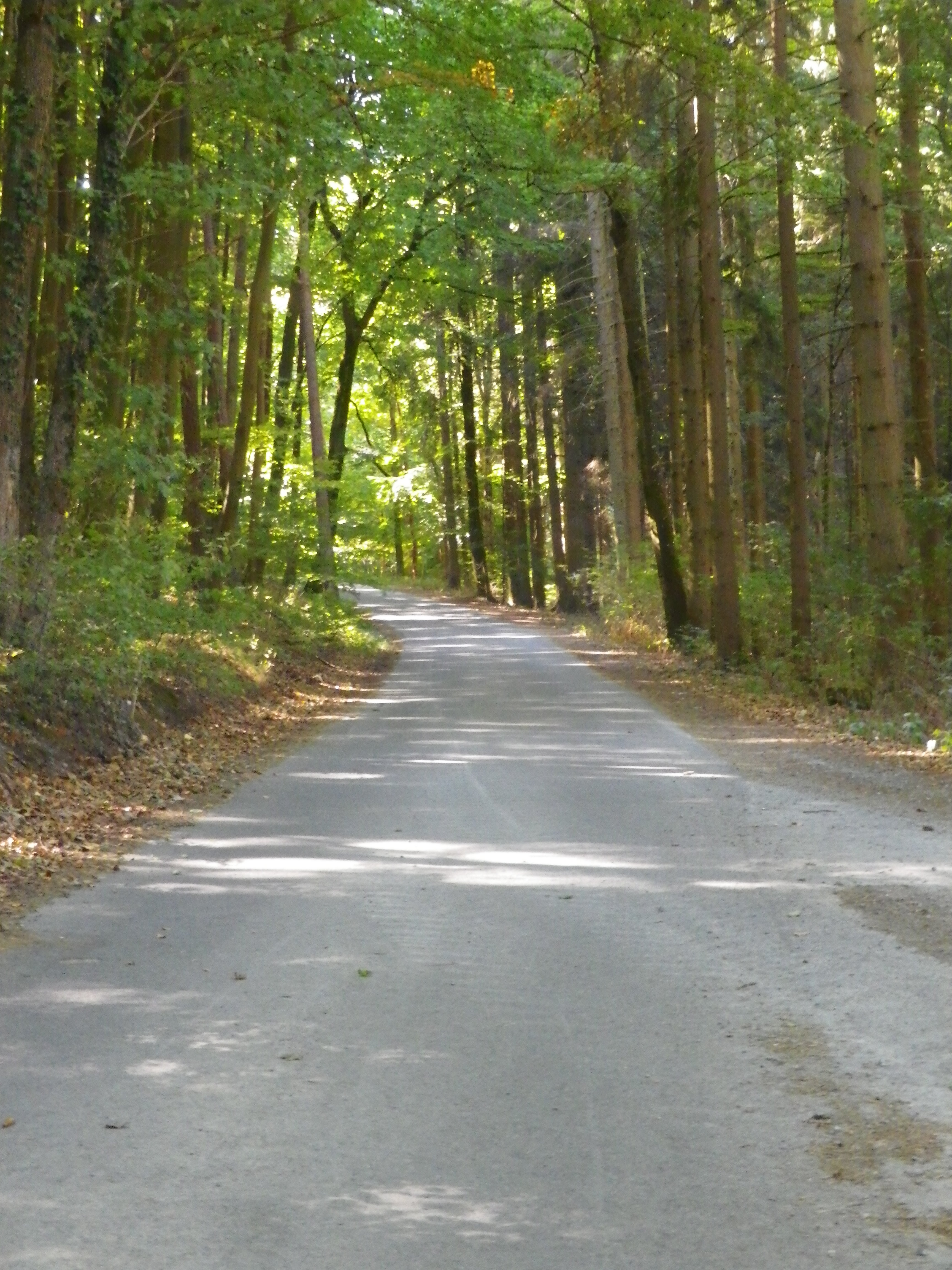
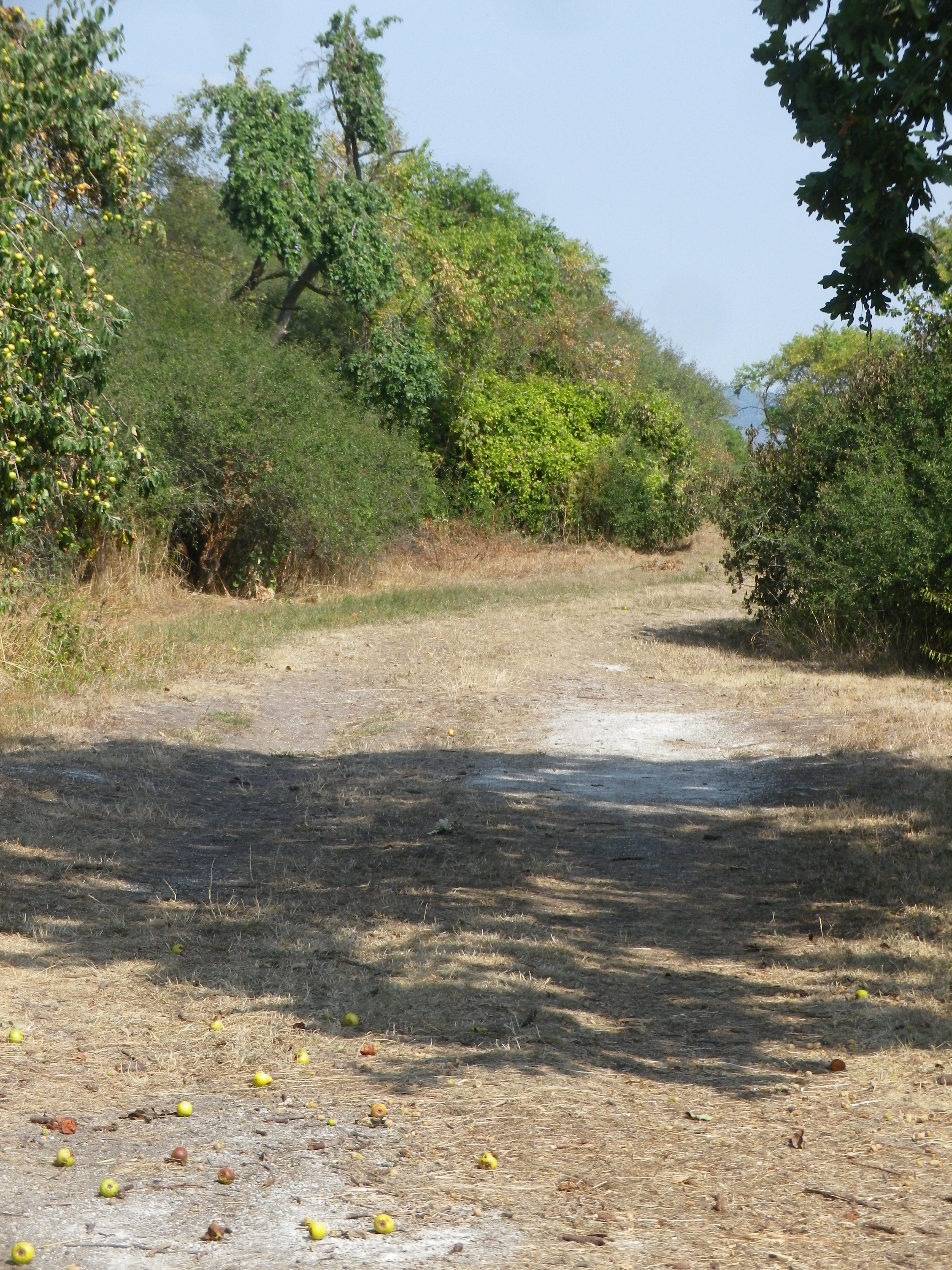
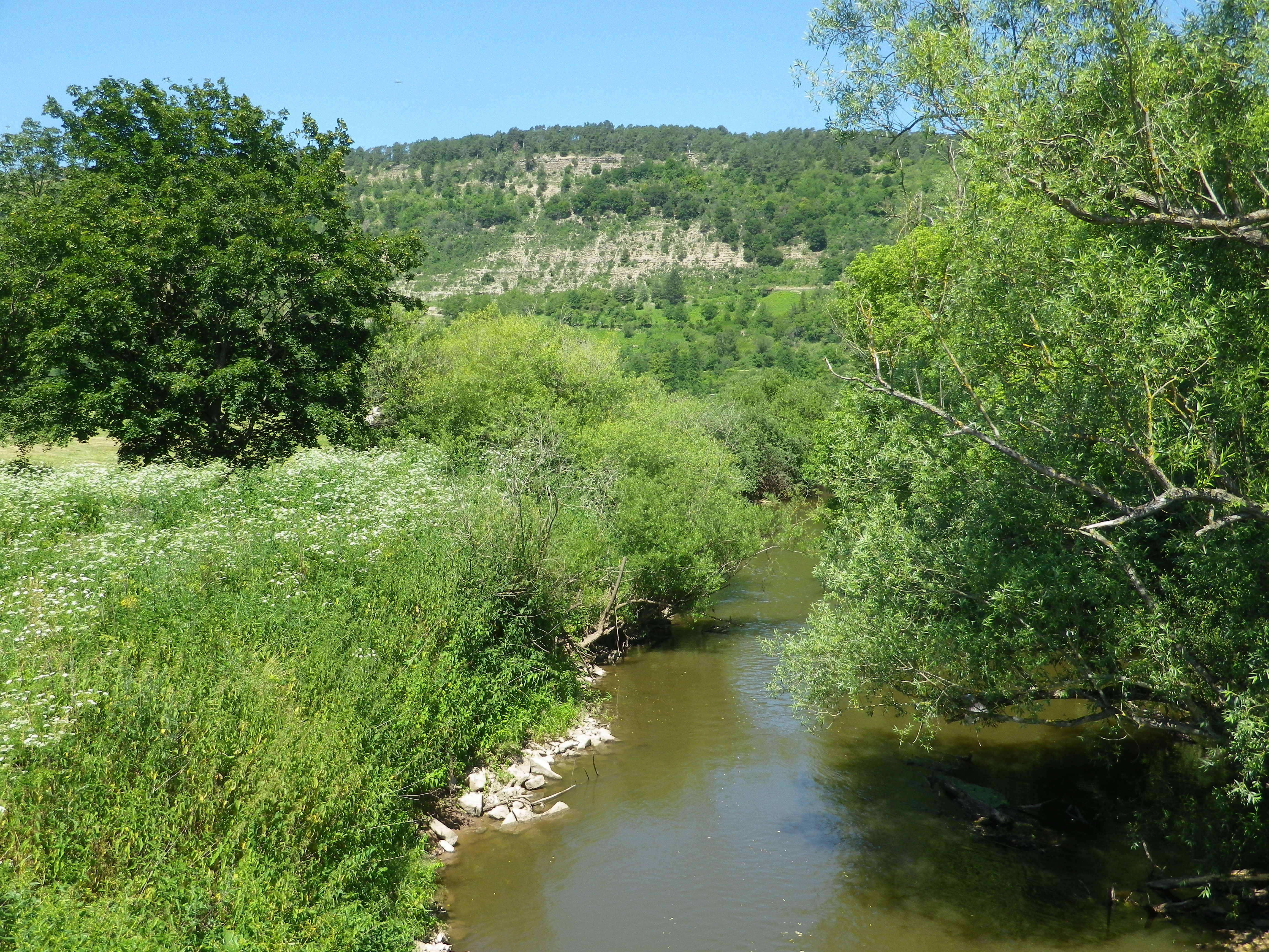
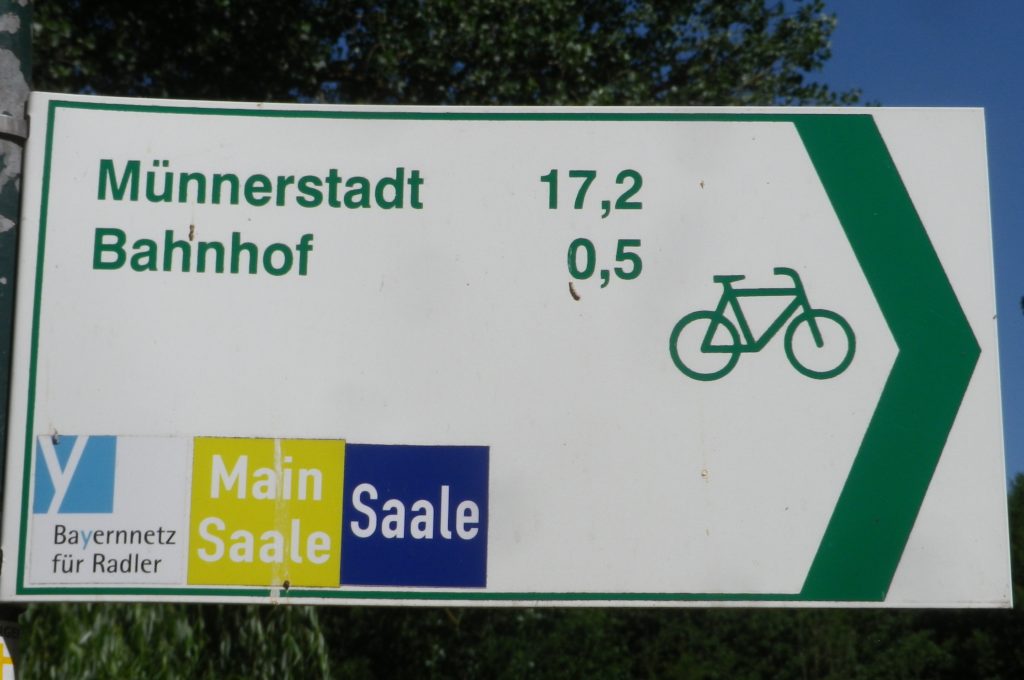
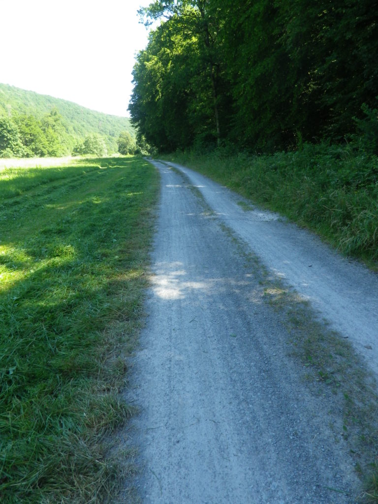
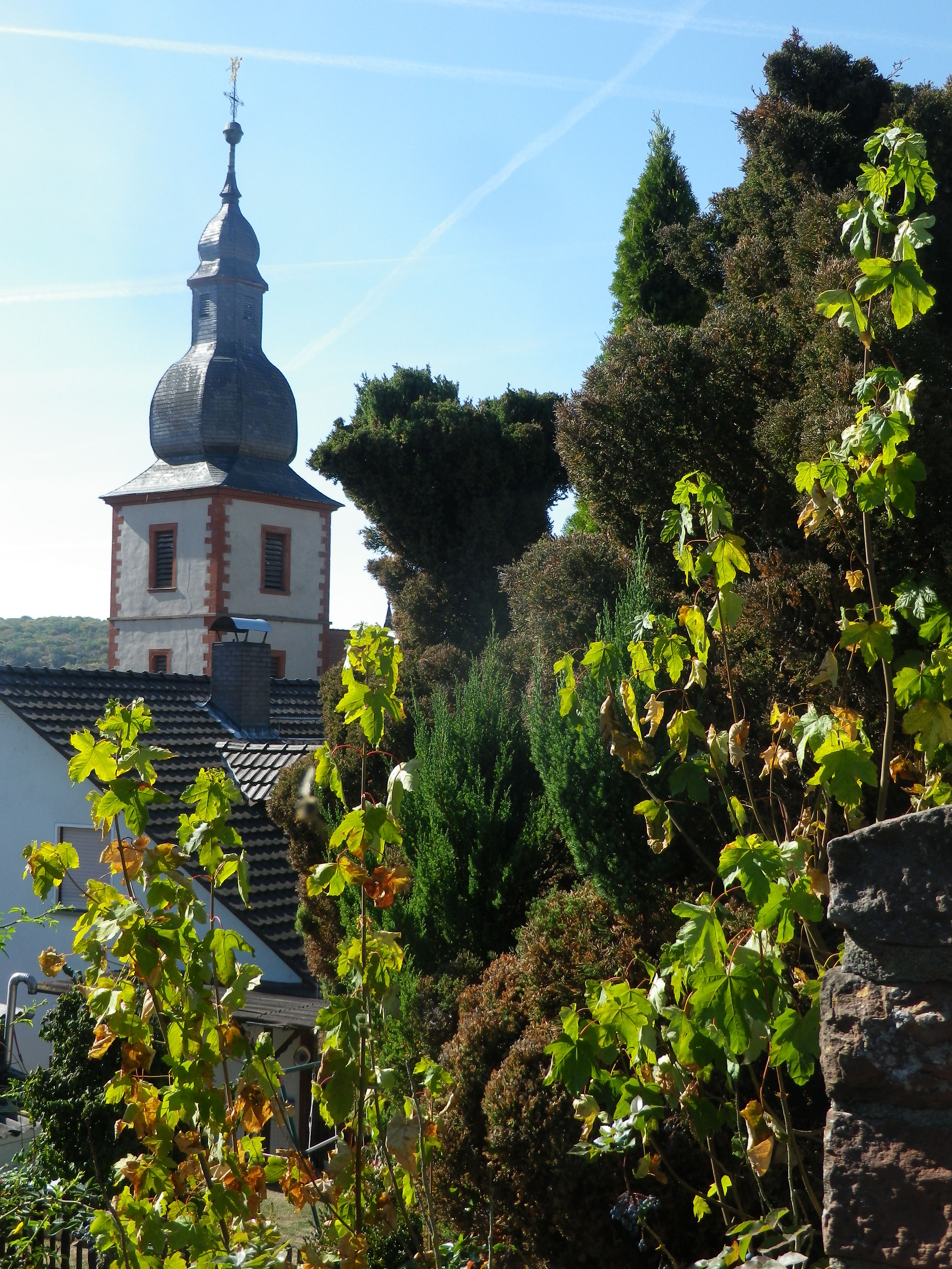
Beginning in Bavaria, in Uettlingen, the trail proceeded through fields of wheat, slightly uphill, through and beyond the neighboring village of Remlingen, with its attractive church, reaching Tiefenthal through shady copses. At this point, the trail began to follow along the Erlenbach Creek, and for the remainder of the circuit, the trail followed waterways, with vineyards ranged along slopes rising above them.

Modified Onion Dome in Remlingen, Bavaria

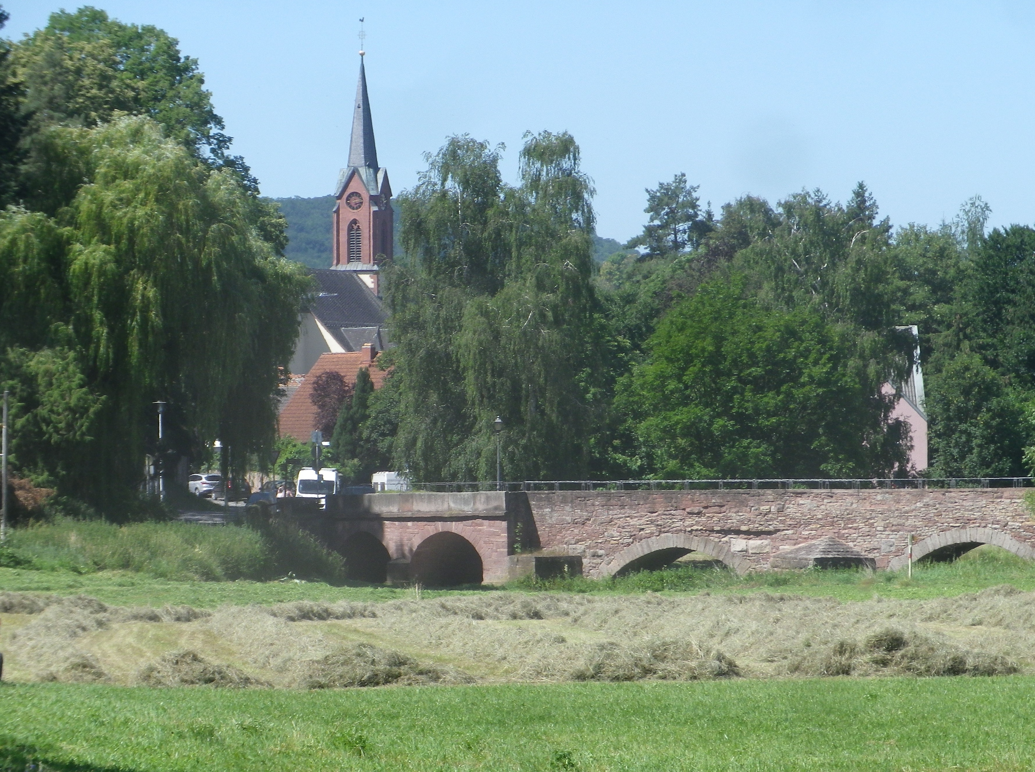
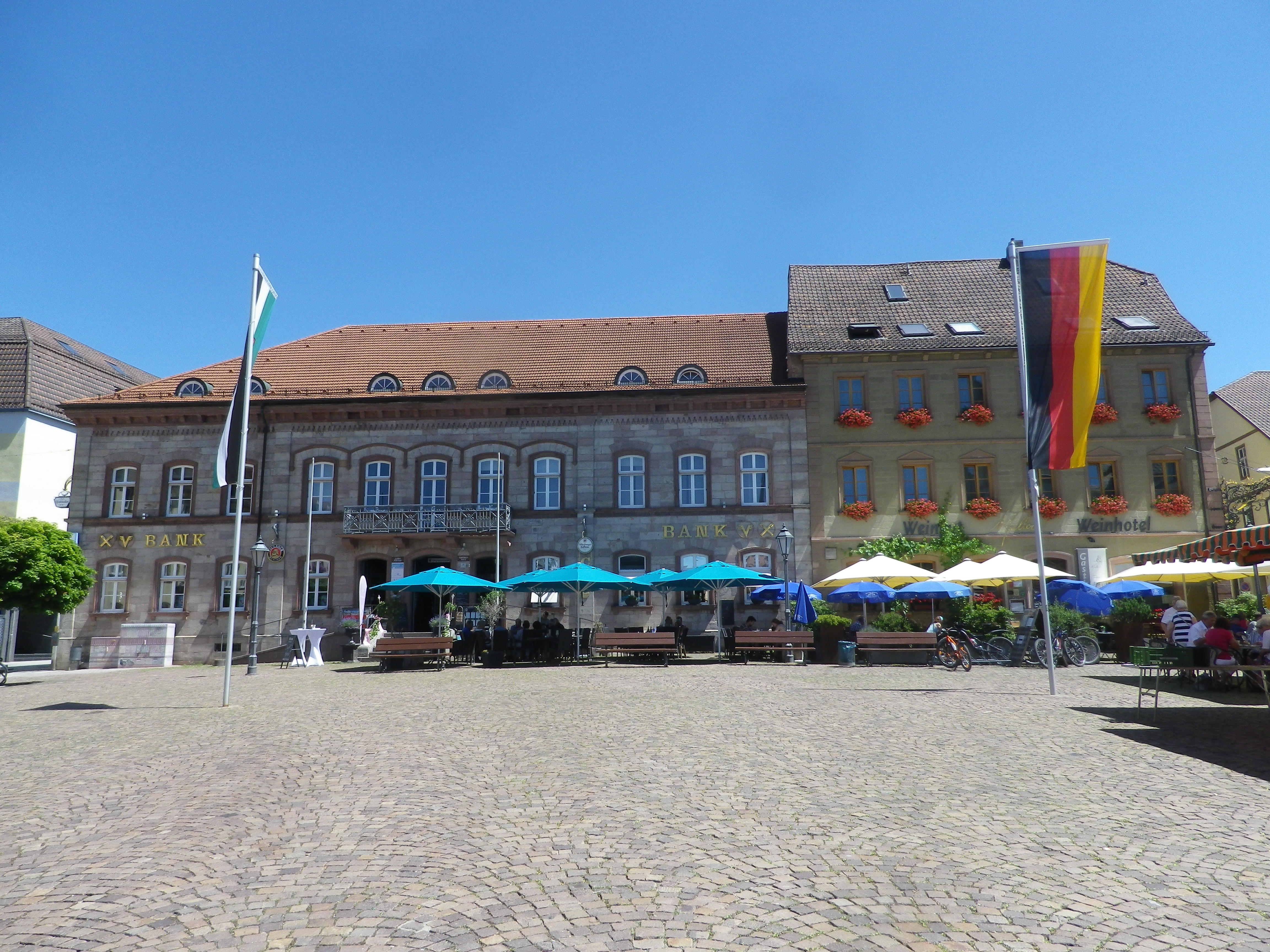
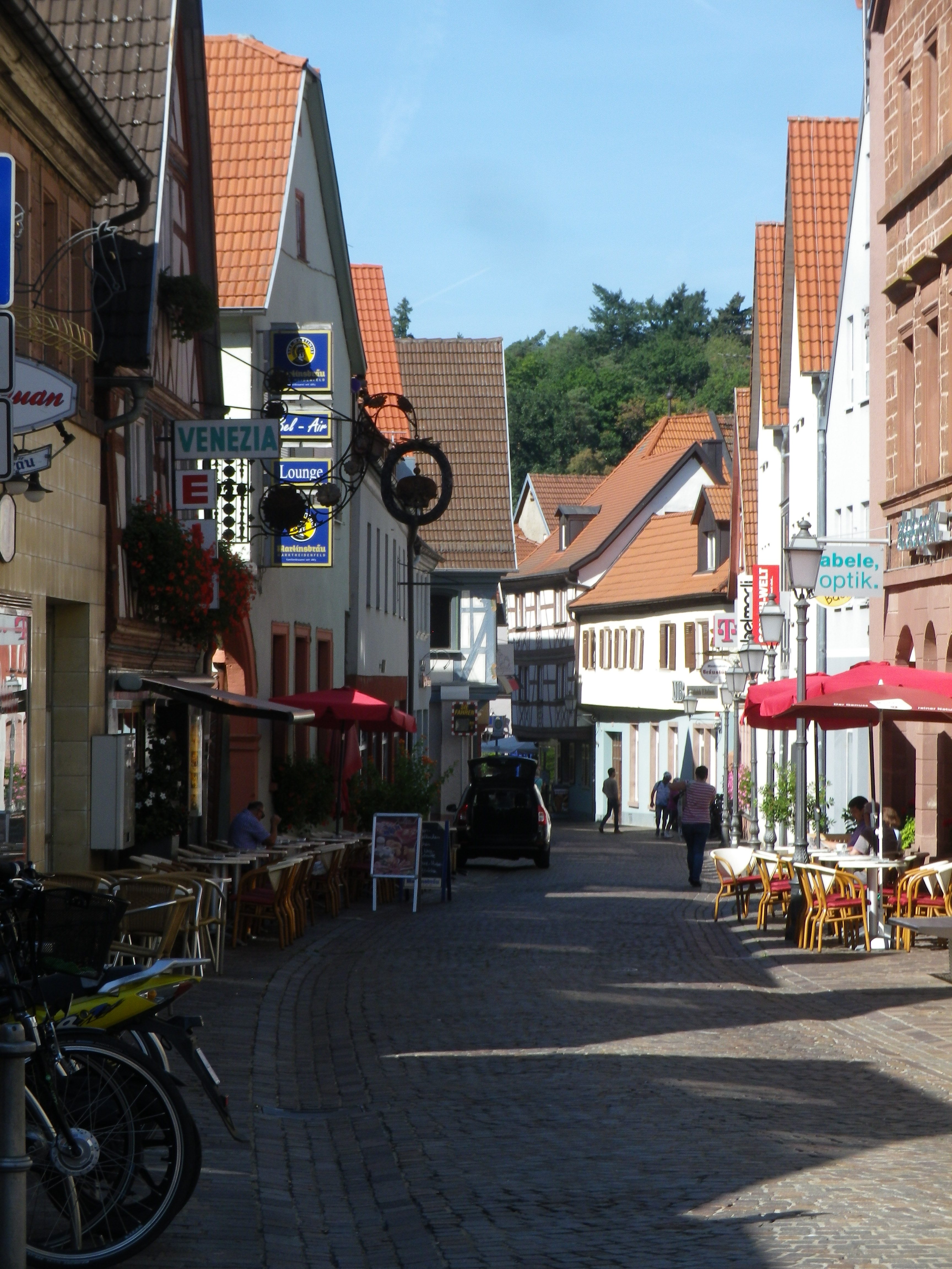
The Erlenbach Creek continued northwest, in its quest to join the Main River. But the trail diverged, leading into the delightful old town of Marktheidenfeld. Its historic center has its narrow lanes flanked by an architectural smorgasbord. (The Franck House is particularly interesting example of baroque architecture.) Museums, pubs, restaurants, and the lovely park along the Main, invite cyclists to stop and visit.

Marktheidenfeld Lane

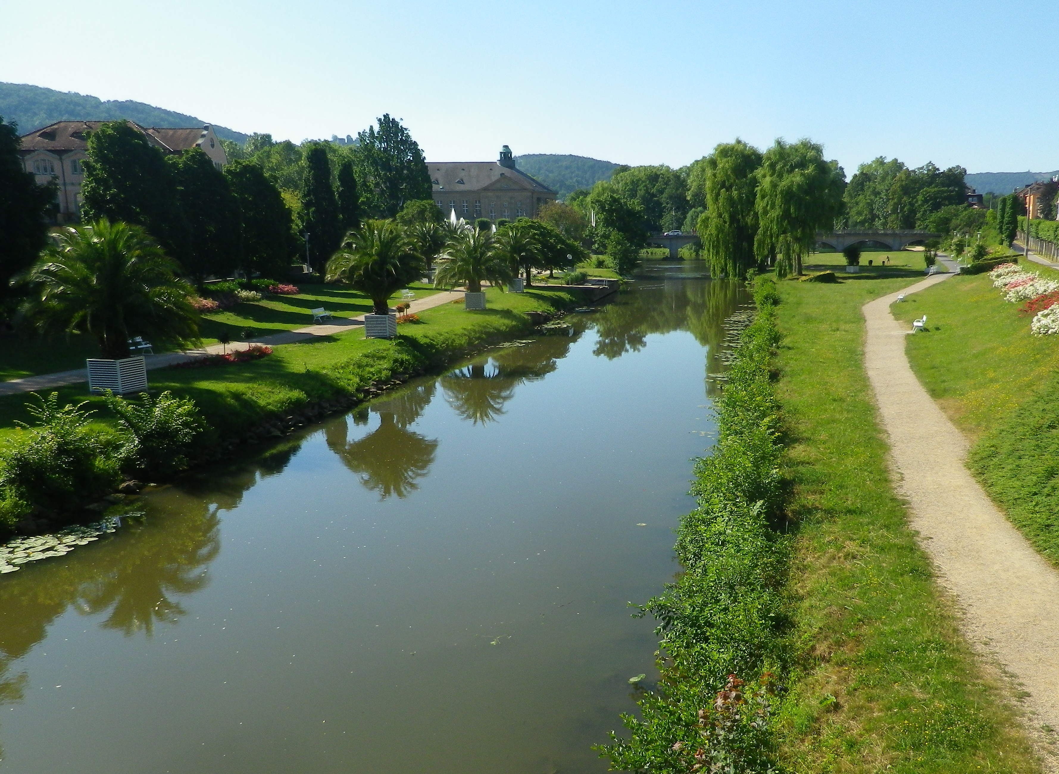
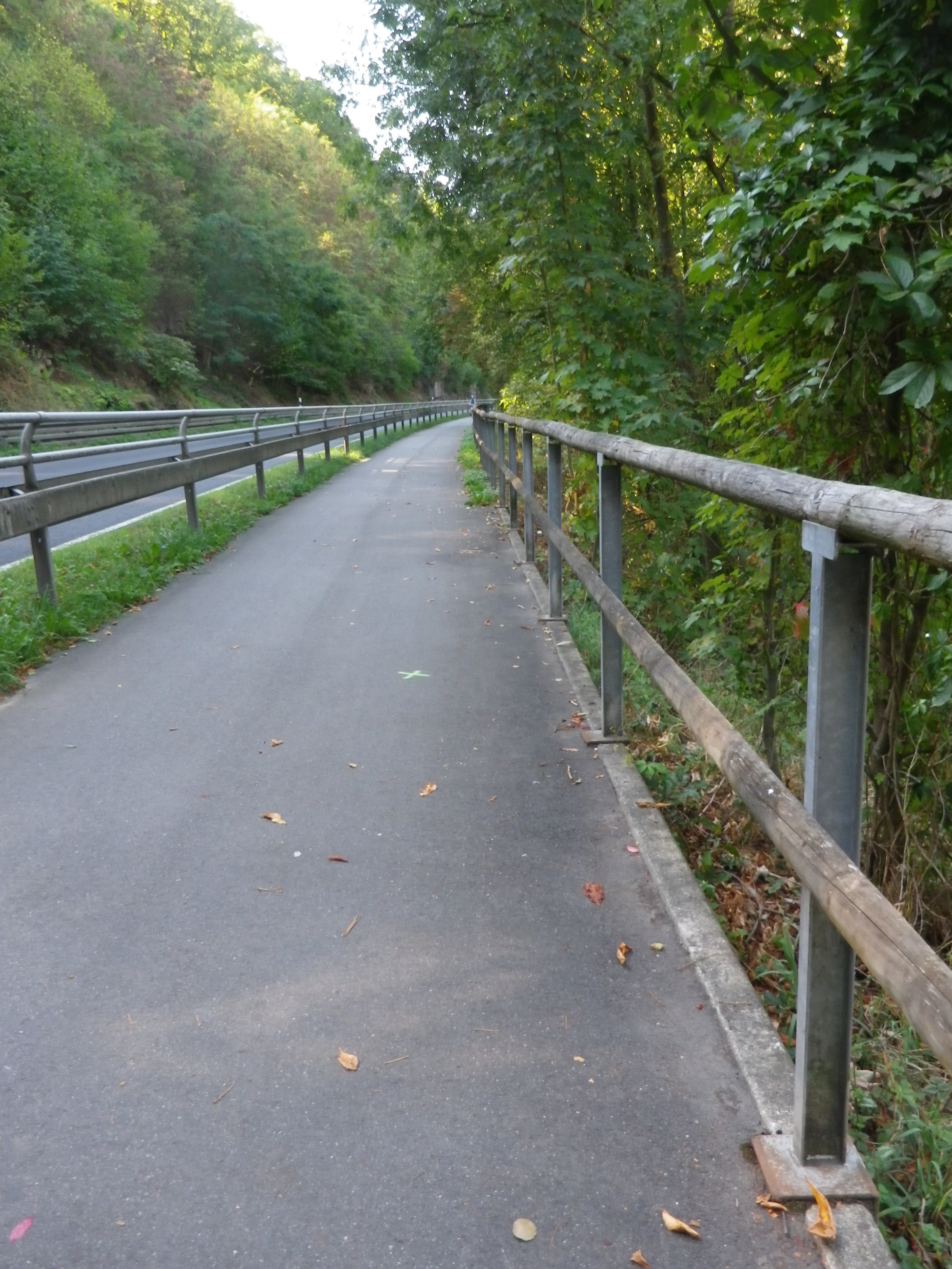
In Marktheidenfeld, the trail met up with one of my old favorites, the Mainradweg.  This is a 600 km long itinerary following mostly along the river, and much of it is on dedicated bicycle path! So, I happily followed it south (downriver), crossing the Erlenbach where it joined the Main, enjoying the beauty and impeccable trail surface for quite some time. (Germany has some of the best bicycle paths in the entire world (IMHO)!)

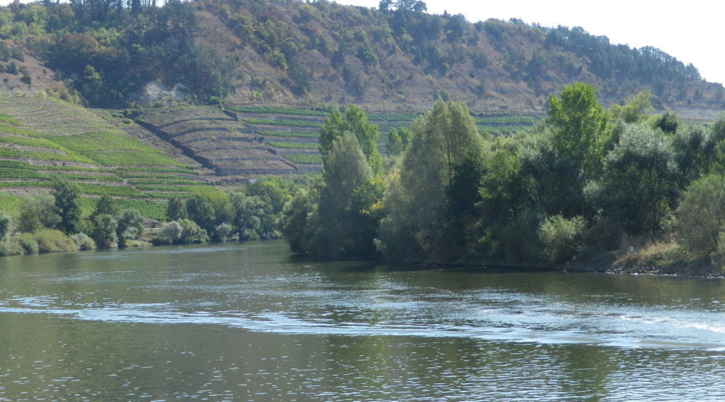
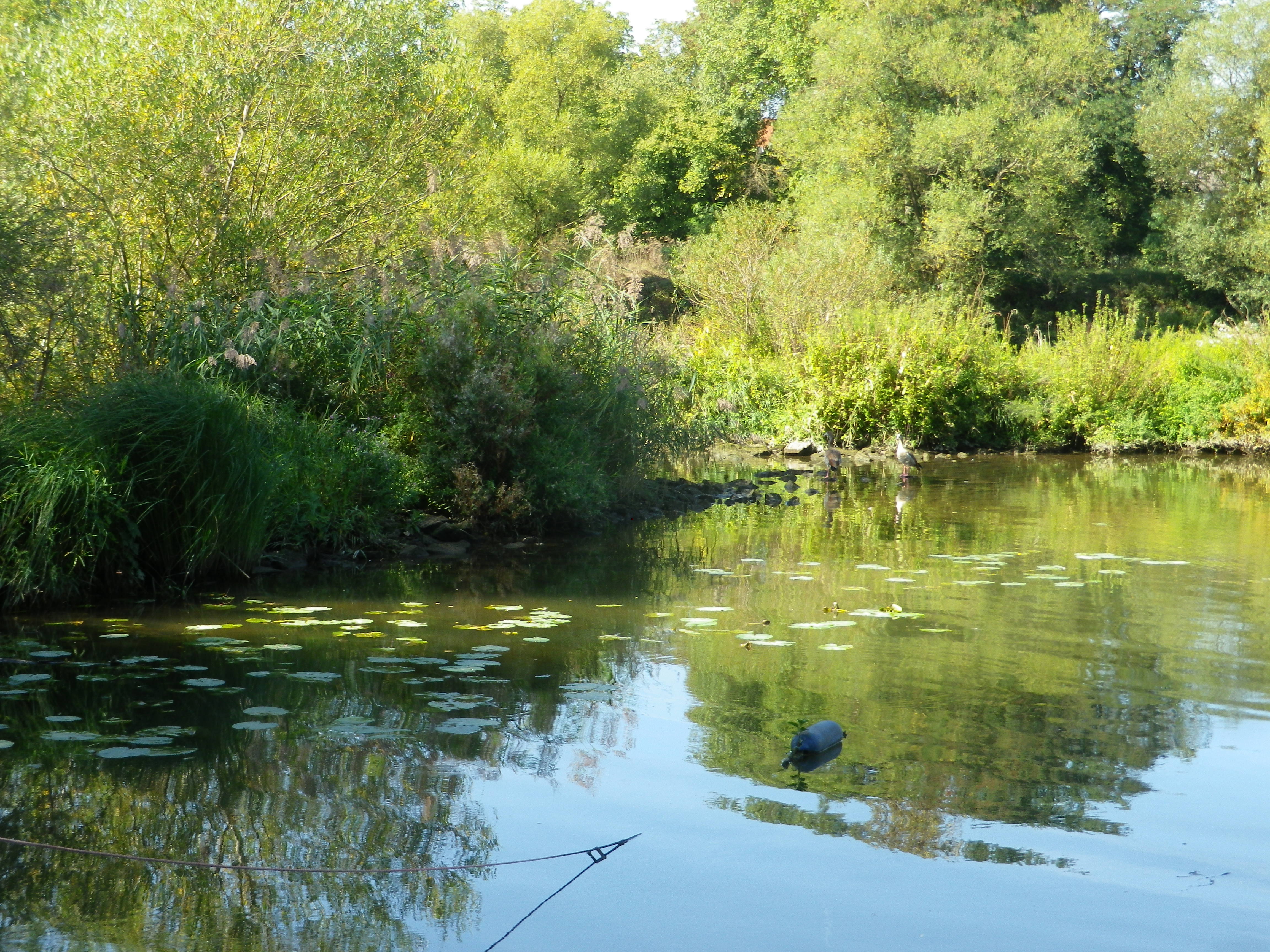
This very easy section of the itinerary would end, of course, but in the meantime, there are the sights and sounds of the river, from day boaters to small cruise ships, castles and monasteries on not-to-distant hilltops, and all sorts of waterfowl and fish, all enjoying the day.

Quiet Spot Along the Main

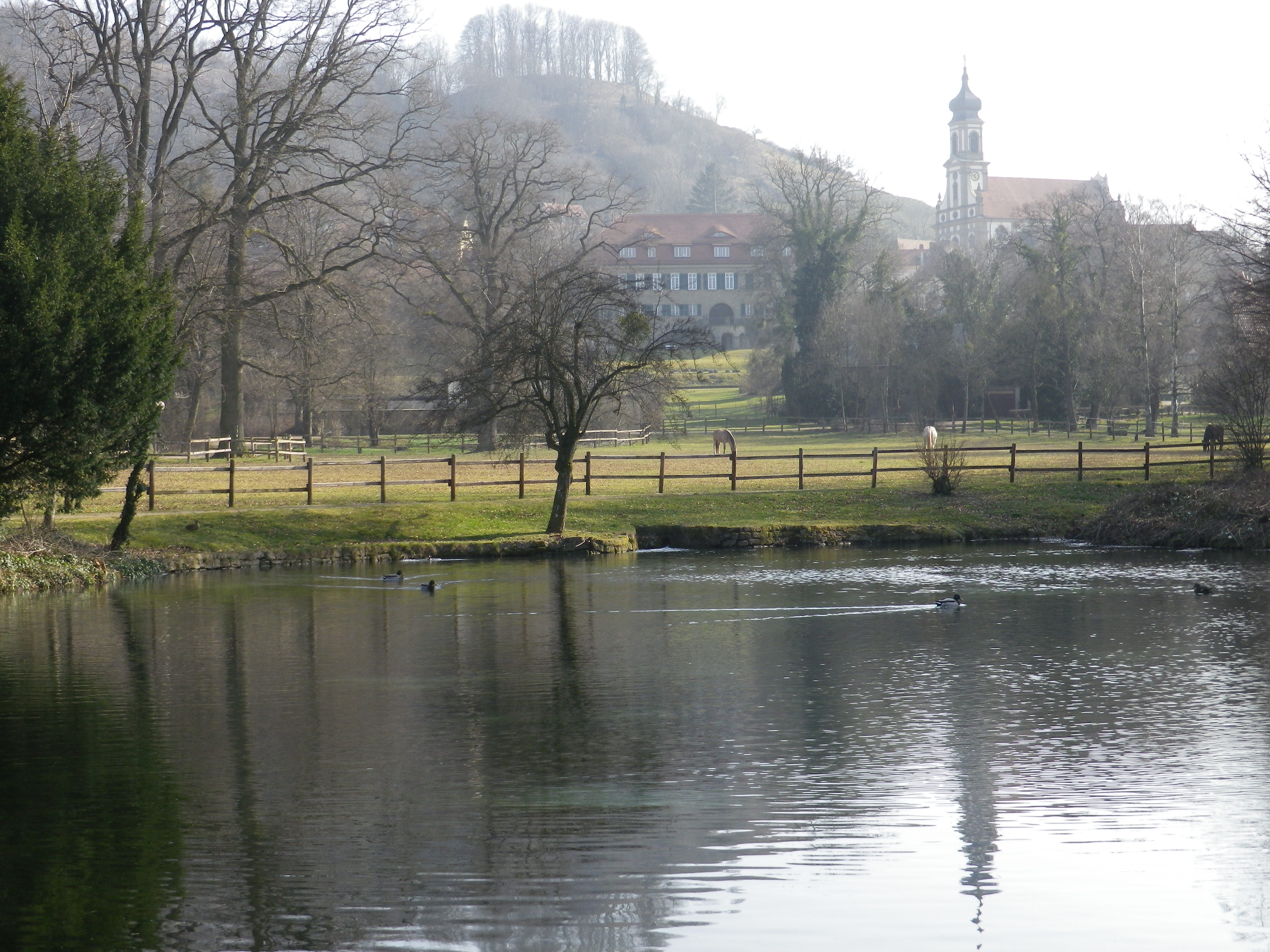
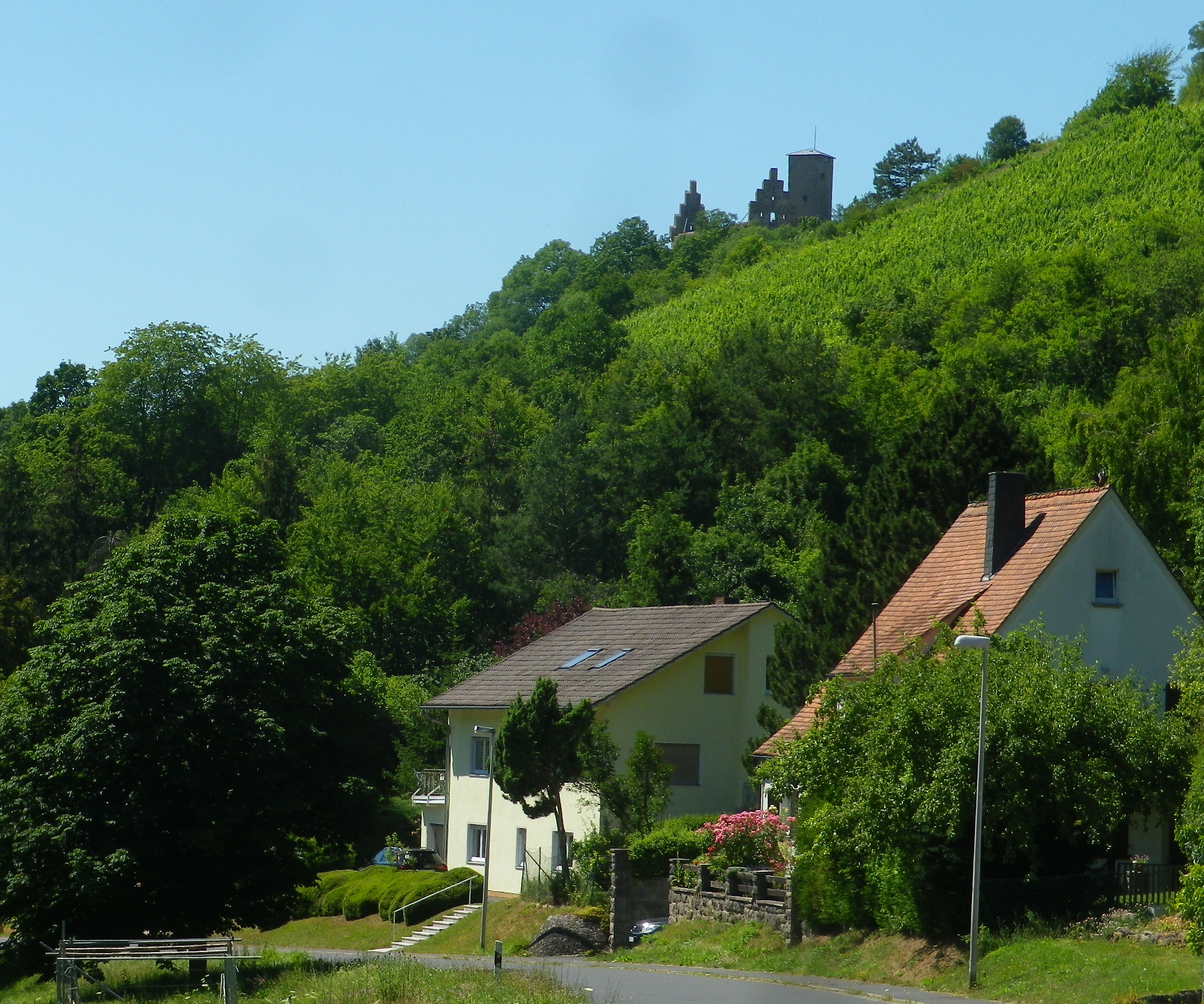
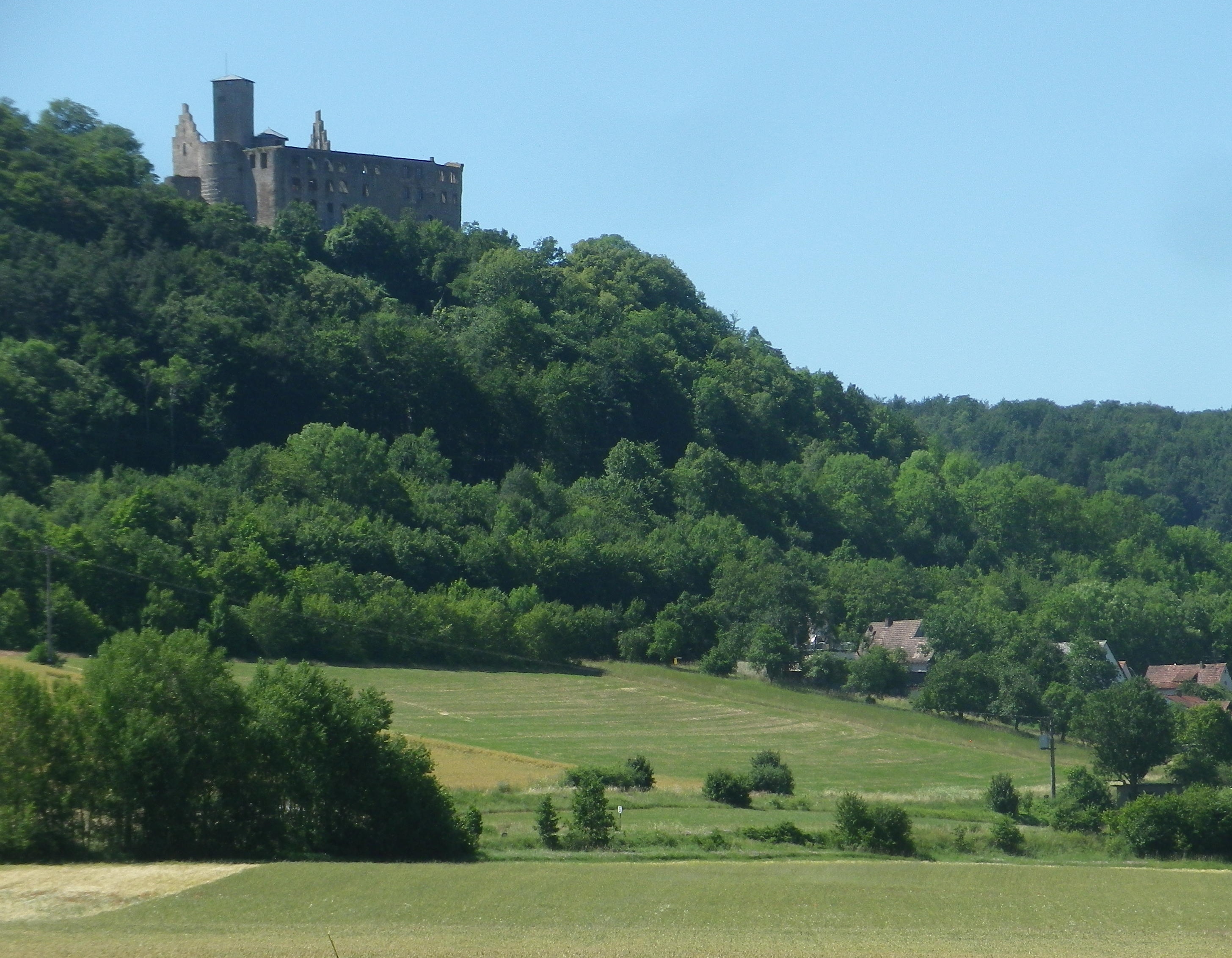
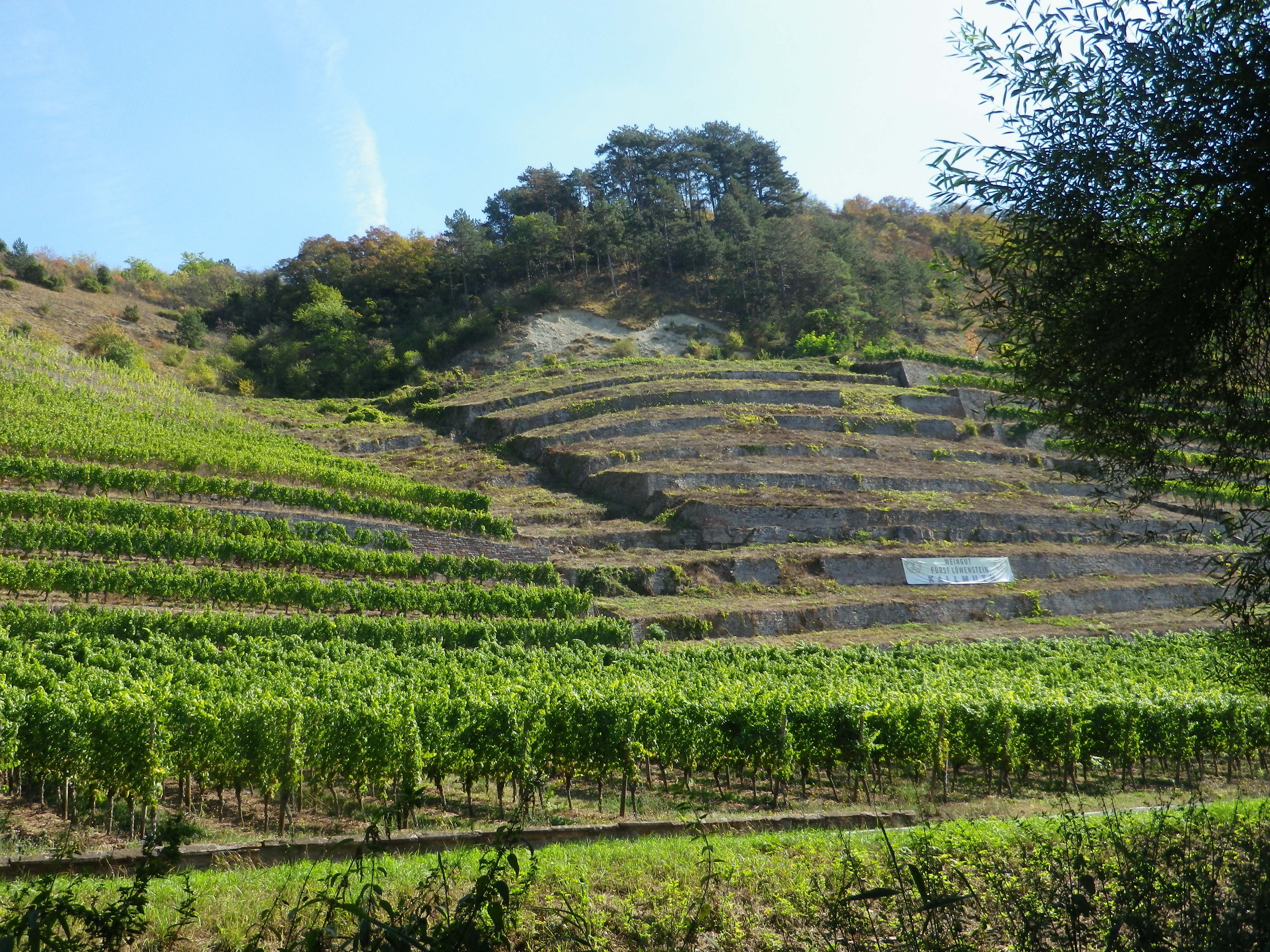
The trail soon reached Lengfurt and Homburg am Main, two villages with famous vineyards. One, the Lengfurter Oberrot, could be compared to a French Premier Cru, and the Homburg vineyard, the Kallmuth, is comparable to a Grand Cru. Wine here is serious business and has been since medieval times. A medieval monastery stands high atop the bank opposite Lengfurt, and a castle, the monastery’s political/military counterpart, sits atop the river bank in Homburg.  (Find those combinations in European wine country, and good vineyards making good wine are usually close by.)

The Kallmuth Vineyard Area

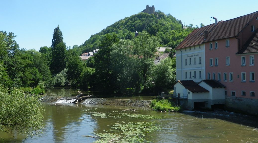
The Main is famous for its loops. The next village, Bettingen, marks the start of a narrow one, which would be less than 2000 feet/500 meters, from one side of the “peninsula” to the other. But before that, the trail crossed from Bavaria (usually more famous for its beer than its wine) into Baden-Wuerttemberg (more famous for its wine (which is hard to find outside Germany), and less famous for its beer). At Bettingen, the trail leaves the river, and climbs uphill, and traverses the highway on a pedestrian bridge, to Wertheim Village, a famous factory outlet “village”.

Last Beer Garden in Bavaria!

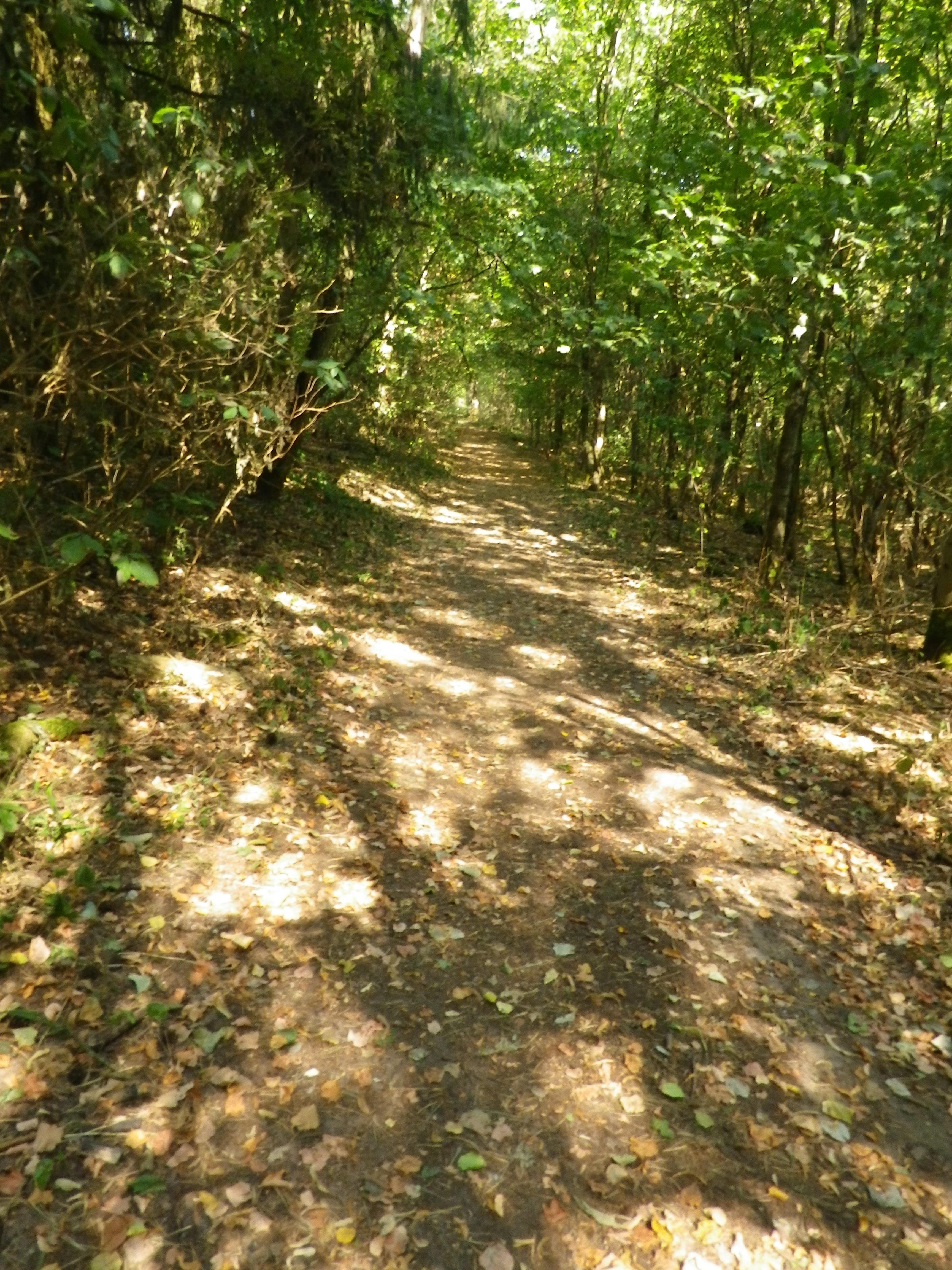
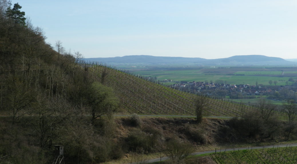
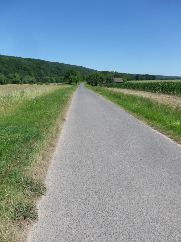
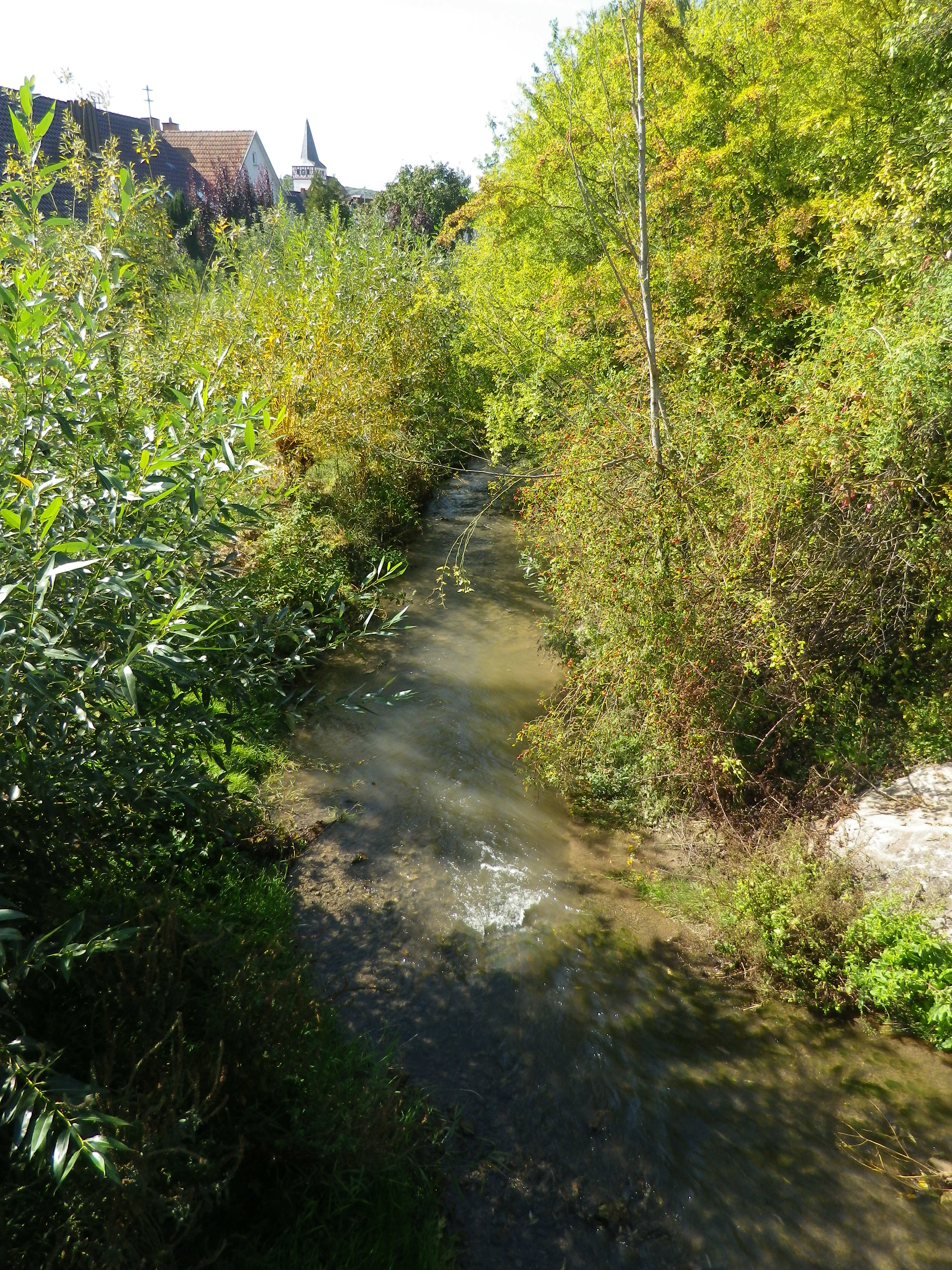
Cycling from the Main, high on a plateau, the trail lead through Baden’s Tauberfranken vineyards, interspersed with fields and forests. The trail followed a little creek upstream, leading to one of the last surprises of this itinerary: a huge monastic complex in the tiny village of Holzkirchen. Now, a center for meditation and mindfulness, it was set against a backdrop of deep forest green and quiet gardens, with the little Aalbach creek gently trickling by.

The Aalbach by Dertingen

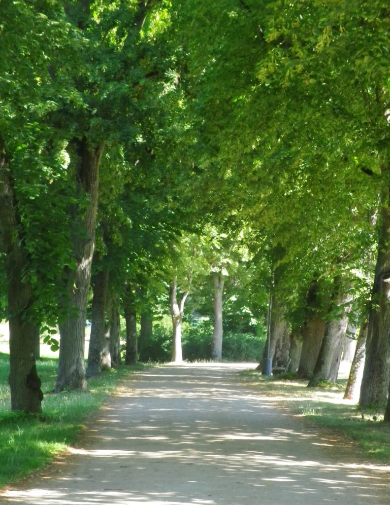
On the way back to the start, through a still forest on a soft trail, I realized the dichotomous aspects of  the experiences along this trail: of two wine regions, of water and land, of diverse political and religious communities, unified by the Zen of it all.

Through the Forest Softly

Traumrunde Huettenheim-Seinsheim: Trail in a Nutshell


Trail Name: Traumrunde Huettenheim-Seinsheim

Trail Type:

Short-distance circuit; well-maintained and almost exclusively paved or hard-packed, marking on the trail fairly good

Length:

Total – 8.7 kilometers/ 5.4 miles

Convenient to:

Ippesheim, Franconia, Germany

Marking:

Square with white background, and red lettering reading “Traumrunde Huettenheim-Seinsheim”

Sign: TraumRunde Huettenheim-Seinsheim


Trail Description:

A meandering circuit, with moderate ascents and descents, as it circles the irregular upper contours of a vine-planted hill on the southwestern edge of the large Steigerwald Nature Park

Trailhead:

Can be anywhere on a circuit, but from a parking perspective, the parking area just below the Weinparadies Scheune is a convenient place to start.

Parking:

Bullenheim: Follow the signs to the Weinparadiesscheune, and before arriving, you will see a small area for hikers’ parking

Public Transportation Options:

Bus: Available to surrounding villages (Bullenheim, Seinsheim, Huettenheim), but not practical

Suggested Stages: (Not applicable)

Trail Itinerary-Reference Points: (Clockwise)

Huettenheim: Jewish Cemetery, Vineyards, two little ponds, forest; Kapellberg overlook, Kunigundenkapelle, scenic overlook, parking lot, Weinparadiesscheune Seinsheim; Steinbruch am Kunigundenwald, picnic area, Tannenberg Kreuz, Wanderhuette am Juedischen Friedhof

Representative Trail Photos:

Representative Trail Section in Forest Areas
Trail Surface: Unpaved

Restrooms:

(Only observed at the WeinparadiesScheune)

Attractions on or near Trail:

Some wine education tables located intermittently along the trail.

Tasting along the Trail:

Weinparadiesscheune Seinsheim, directly on the trail

Small wineries and taverns in Bullenheim, Seinsheim and Huettenheim, all slightly off the trail

Alternative Options:

Hiking: TCW 49: Durch Fraenkische Weinparadies: a 12.9 kilometer circuit, through much of the same area, but, more challenging ascents and descents, and about 2 miles longer. See https://www.outdooractive.com/de/route/wanderung/steigerwald/tcw-49-durchs-fraenkische-weinparadies/227470702/

Additional Information:

Regional: https://www.ippesheim.de/

Trail specific: https://www.outdooractive.com/de/route/wanderung/fraenkisches-weinland/traumrunde-huettenheim-seinsheim/9552201/#dm=1

Comments:

Few parking lots, per se, just parking on the edges of lanes. So please be conscientious and respectful when parking road-side in the villages or vineyards.


Steigerwald’s Stellar Vineyards and Villages


The Steigerwald, in Franconia, is a wonderful area. Unlike the other wine districts in the region, the Steigerwald is away from the Main River, and does experience a bit more variance in the weather. One March, hiking the Steigerwald on the first weekend of March, I failed miserably due to snow and ice. (See that story here.) Another March, a year and three weeks’ time difference, sunny skies and dry trails resulted in one of the most memorable hikes I ever completed in Germany.

I began in Castell, a delightful village with a good reputation for its wines. It is nestled at the base of low, vine-covered hills. This iconic village comes complete with a castle in its park, narrow streets and lanes filled with historic houses, and a church. But it was not alone – all the villages on the trail of this hike were just as charming.

Castell: Castle and Church

Continue reading Steigerwald’s Stellar Vineyards and Villages

Franconian Interlude


The Fraenkische Saale, a river flowing from near the Bavaria-Thüringen border to the Main River by Gemuenden am Main, is a jewel. Its quiet, gently flowing waters, offer low-key activities for families and friends along its shores, and on its waters, from hiking and biking to canoeing and rafting. This is an area famed for rest and relaxation, and there are several well-known spa towns along the river. From Bad Koenigshofen near its headwaters to Bad Neustadt, Bad Bocklet and Bad Kissingen, all are on the Fraenkische Saale as it heads to the Main. While the Main River is extremely well-known for its vineyards and wine, the Fraenkische Saale, connecting the wine districts of the Maindreieck and the Mainviereck, doesn’t do too badly either in that regard.

Fraenkische Saale: From the Trail


Part of the attraction for me was the opportunity to cycle along yet another river bicycle trail. Germany seems to excel in developing these trails, and the Fraenkische Saale Radweg (Bike Trail) was just another example of excellence in riverside cycling trails. The other part of the attraction for me was the chance to explore the terroir and the wines in relatively unknown wine corner of Franconia.

Euerdorf: Bridging the River


The Fraenkische Saale Radweg is about 125 kilometers, but the vineyards, Franconia’s and by extension Bavaria’s, concentrate in a short 28-kilometer-long stretch of the river and its side valleys. This made exploring them relatively easy work on a weekend. Hence, I decided to begin at Bad Kissingen, the northern and eastern-most point of my ride, one fine morning.

Bad Kissingen: Riverside Trails


As a spa town, Bad Kissingen has a great variety of dining and lodging options to choose from. In addition, it is a lovely small town, with stately green spaces filled with  curving paths along the river. The buildings are classic “German spa” and there is almost always something to attend, be it art exhibits, local festivals, or open-air concerts. I found it an excellent town to stage from, especially as the trail wove through its classic parks and gardens as it passed through town.

Bad Kissingen: Public Gardens


Once out of town, the trail led for a few kilometers through woods, then along fields bordering the river to Euerdorf. It proved a quiet interlude, with just nature for company. South of the Euerdorf the vineyards of Ramsthal begin.

Ramsthal Vineyards


The river really does twist and turn. At Trimberg, there are more vineyards, and a castle ruin came into view. Here I crossed the river first time since leaving Bad Kissingen. But henceforth, the trail was constantly crossing the Fraenkische Saale on a series of well-maintained bridges, providing plenty of opportunities to photograph the picturesque little river. While this left me without a clear sense of where I was after so many river crossings, I was never lost, as the trail was so well marked.

Trimberg Castle


Before I knew it, I rode into Hammelburg, center for viticulture in this area. This town has a history of wine making which goes back centuries, in part due to the old abbeys. The vineyards on the hills loom over the town to the north. To the west lie the final vineyards of this wine-producing area of northern Franconia. They are in the hills above the city districts of Obereschenbach and Untereschenbach , my end destination, which was between the two sets of vineyards. While they are overseen by another picturesque castle ruin, they are not overlooked by lovers of Franconian wine!

Hammelburg: Marktplatz

Radwanderweg Fraenkische Saale: Trail in a Nutshell


Trail Name:  Radwanderweg Fraenkische Saale

Trail Type: Long distance bicycle trail (much of it dedicated bicycle trail); well-maintained and diverse surfaces from paved to crushed stone, fairly good marking along the trail.

Length:

Total – circa 127 kilometers/79 miles

My Stage: circa 28 kilometers (See Comments below)

Convenient to: Bad Kissingen, Gmuenden, Franconia, Germany

Marking: Blue background with white letters “Saale”

Sample Signage along the Trail


Trail Description: Fairly flat, with the inclines due to small spurs of more distant ridges, this quiet trail indeed follows mostly along the river, and through some of the riverside towns and villages, which make for great stops along the way.

Trailheads:

All Stages: -Trappstadt-Alsleben // Gmuenden am Main

My Stage: Bad Kissingen,  In der Au x Bismarkstr // Diebach, Reuthweg

Parking (My stage only):

Bad Kissingen:

In der Au, dozens of perpendicular parking spaces along the lane; Costs one Euro per day/Four Euros for the week.

Maxstr, Parkplatz Tattersall is a large, improved lot, but costs more per day.

Diebach: Obertor, large unimproved area in a field (by parking sign at the eastern edge of town)

Public Transportation Options:

Rail: DeutscheBahn serves Hammelburg and Bad Kissingen with small stations in most of the towns mentioned in the trail itinerary below.

Bus: HOB Bus lines 8165, 8141

Suggested Stages: Not applicable for my stage

Trail Itinerary-Reference Points: (My stage only – heading downriver)

Bad Kissingen: Bismarkstr, Lindesmuhlpromenade (an alternate path through the park), Oskar von Miller Str, Im Lindes, past water treatment plant, parallel Iringstr; into forest, along the river, cross the Lollbach, parallels B287; Euerdorf: Ringstr, Kissingerstr, Gerbergasse, path along the river, parallel Auraerstr, Ara: Hauptstr, Trimbergerweg; Trimberg: Quellenstr, Hugo-von-Trimberg-Str-Brueckenstr; Elfershausen: Pass Elfershausen-Trimberg train station, August-Ullrich-Str, Marktstr, Langendorfer Str, cross river; Pass under A7, parallel river; Langendorf: Hauptstr, Westheimerstr, cross river; Westheim: Grenzstr, path left to cross river (two times in about 500 meters); Hammelburg: Pass Hammelburg Ost train station, An der Walkmuehle, Kissinger Str, straight at circle, continue, Am Marktplatz, Bahnhofstr,  Saaletalstr, then cross tracks and follow parallel path;

Representative Trail Photos:

Sample of Non-Asphalted Trail Surface
Representative Section of Trail and Surface
Section of Trail in Bad Kissingen


Restrooms (My stage only):

Bad Kissingen: Am Kurgarten, in the Arkadenbau (arcaded building)

Elfershausen: Schlossstr x Marktstr, at the Community Center, in an outbuilding facing the courtyard

Hammelburg: Marktplatz, on the side of the Rathaus

Attractions on or near Trail (My stage only):

Hammelburg:

Kellereischloss: Historic wine cellar, with wines on offer weekly, usually Friday evenings

Museum Herrenmuehle details the history of wine-making in this area, and with its other emphasis on bread-making, from grain to final product. A recent new exhibition combines these two items under the theme: Bread and Wine.

Tasting along the Trail (My stage only):

Hammelburg: Weingut/Hotel/Restaurant Mueller; Weingut Schloss Saaleck, Kellereischloss (see above), right on the trail; several small wineries on the outskirts of town

Ramsthal: A couple of wineries in town. (Ramsthal is about  three kilometers from the river trail.)

Bad Kissingen: No wineries, but lots of wine taverns and local wine selections at the many restaurants.

Alternative Options (My stage (and wine-themed) only):

Hiking:

Rundweg Hammelburg 9: A seven-kilometer trail beginning in Hammelburg, passing in about equal parts through vineyards and forest, with beautiful views all around.

Wein und Stein trail, from Euerdorf to Bad Kissingen, a 12 kilometer-long, signposted trail of medium difficulty. See details in regional link below.

Ramsthal: The Ramsthal Weinerlebniswege: Three circuits around the town’s vine-bearing hills, ranging from the three kilometers-long Bacchus Rundweg, to the Schoppen Rundweg at 7.2 kilometers in length.

Additional Information:

Regional: https://www.frankens-saalestueck.de/weinland-franken/frankenwein-urlaub/index.html

Trail specific:

http://bay-rad.de/gpxrw/BfR_Radwanderweg_Fraenkische_Saale.gpx

Downriver only from Elfershausen to Hammelburg and Gemuenden am Main:

https://www.outdooractive.com/de/route/radtour/rhoen/fraenkische-saale-von-elfershausen-nach-gemuenden/101939808/#dm=1

Comments:

The trail along the Fraenkische Saale is long, but I focused only on the vineyard part of it: from south of Bad Kissingen to just west of Hammelburg (Stadtteil Untereschenbach).

This trail connects with the Main Radweg, the Main River Bicycle Trail, leading to the Rhine by Mainz, from which point it is possible to follow the Rhine Bicycle Trail. For details on part of each trail, see the Rhine Nutshell here, and the Main Nutshell here.