Short-distance circuit; well-maintained and almost exclusively paved or hard-packed, marking on the trail fairly good
Length:
Total – 8.7 kilometers/ 5.4 miles
Convenient to:
Ippesheim, Franconia, Germany
Marking:
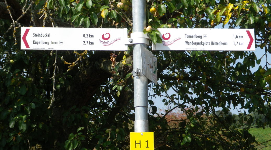
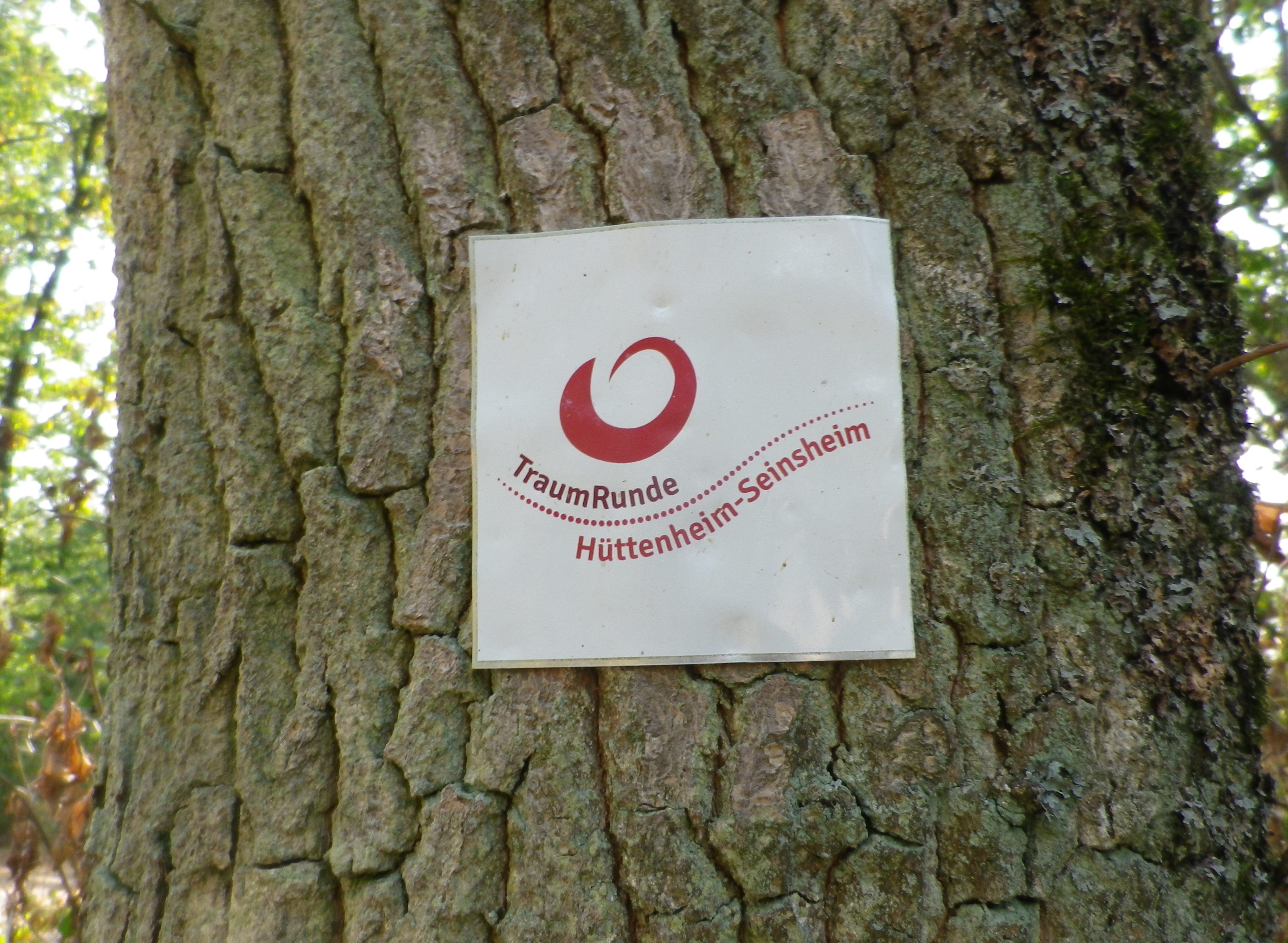
Square with white background, and red lettering reading “Traumrunde Huettenheim-Seinsheim”
Sign: TraumRunde Huettenheim-Seinsheim
Trail Description:
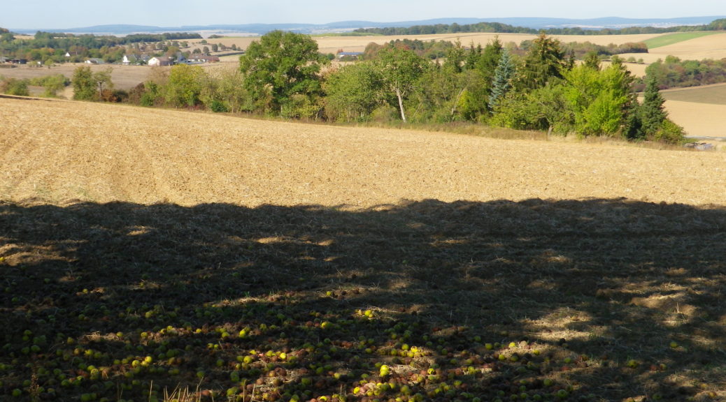
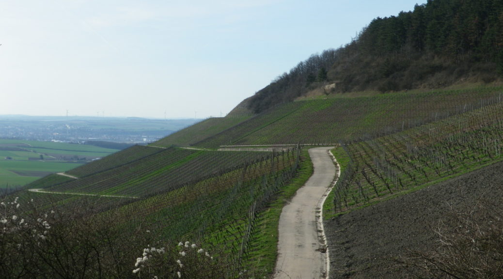
A meandering circuit, with moderate ascents and descents, as it circles the irregular upper contours of a vine-planted hill on the southwestern edge of the large Steigerwald Nature Park
Trailhead:
Can be anywhere on a circuit, but from a parking perspective, the parking area just below the Weinparadies Scheune is a convenient place to start.
Parking:
Bullenheim: Follow the signs to the Weinparadiesscheune, and before arriving, you will see a small area for hikers’ parking
Public Transportation Options:
Bus: Available to surrounding villages (Bullenheim, Seinsheim, Huettenheim), but not practical
Suggested Stages: (Not applicable)
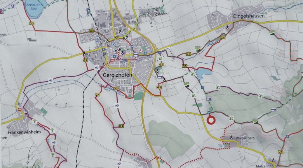
Trail Itinerary-Reference Points: (Clockwise)
Huettenheim: Jewish Cemetery, Vineyards, two little ponds, forest; Kapellberg overlook, Kunigundenkapelle, scenic overlook, parking lot, Weinparadiesscheune Seinsheim; Steinbruch am Kunigundenwald, picnic area, Tannenberg Kreuz, Wanderhuette am Juedischen Friedhof
Representative Trail Photos:
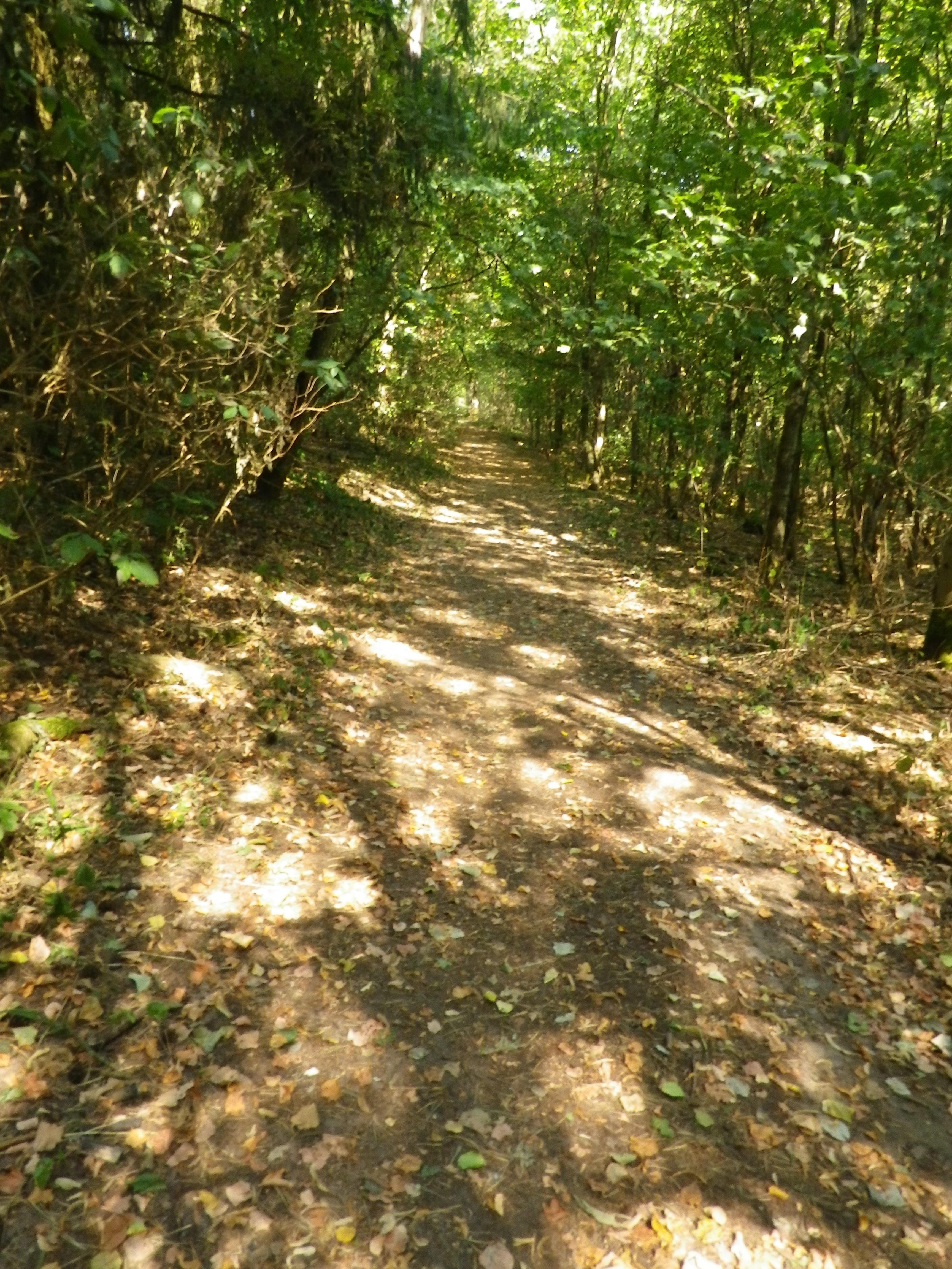
Representative Trail Section in Forest AreasTrail Surface: Unpaved
Restrooms:
(Only observed at the WeinparadiesScheune)
Attractions on or near Trail:
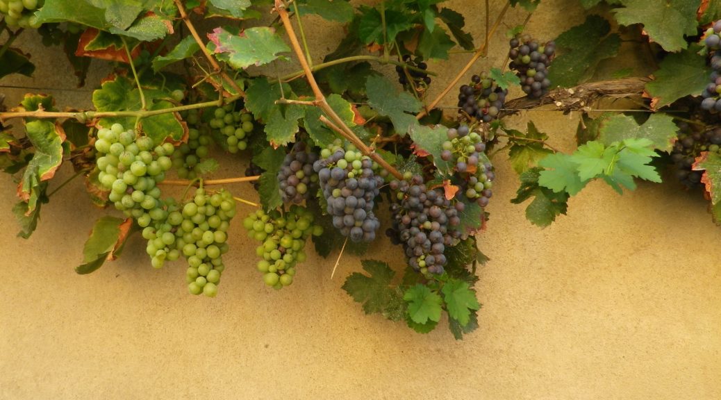
Some wine education tables located intermittently along the trail.
Tasting along the Trail:
Weinparadiesscheune Seinsheim, directly on the trail
Small wineries and taverns in Bullenheim, Seinsheim and Huettenheim, all slightly off the trail
Few parking lots, per se, just parking on the edges of lanes. So please be conscientious and respectful when parking road-side in the villages or vineyards.
Trail Type: Long distance; well-maintained and almost exclusively paved, marking on the trail
Length:
Total – 42.5 kilometers/26.4 miles
Segment Covered Here – @19.5 kilometers/ 12 miles*
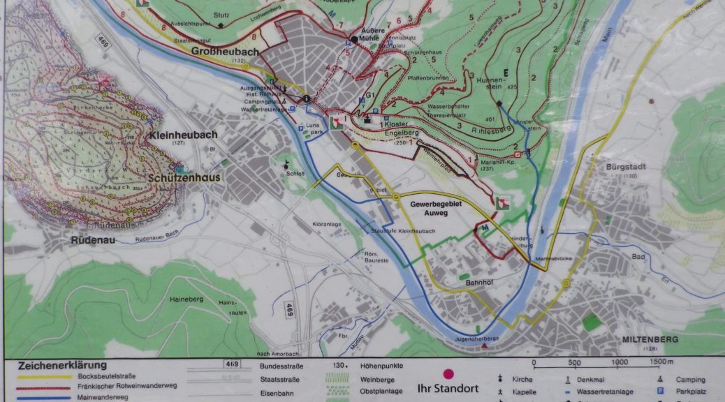
Convenient to: Kitzingen, Schweinfurt, Germany
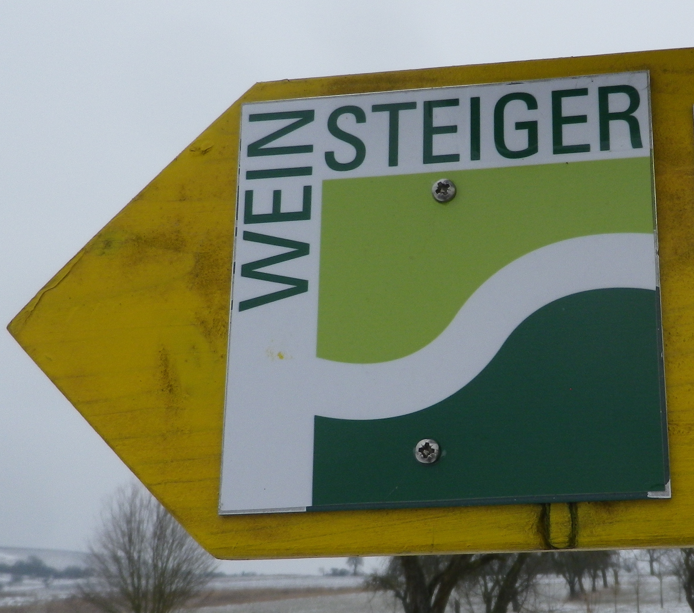
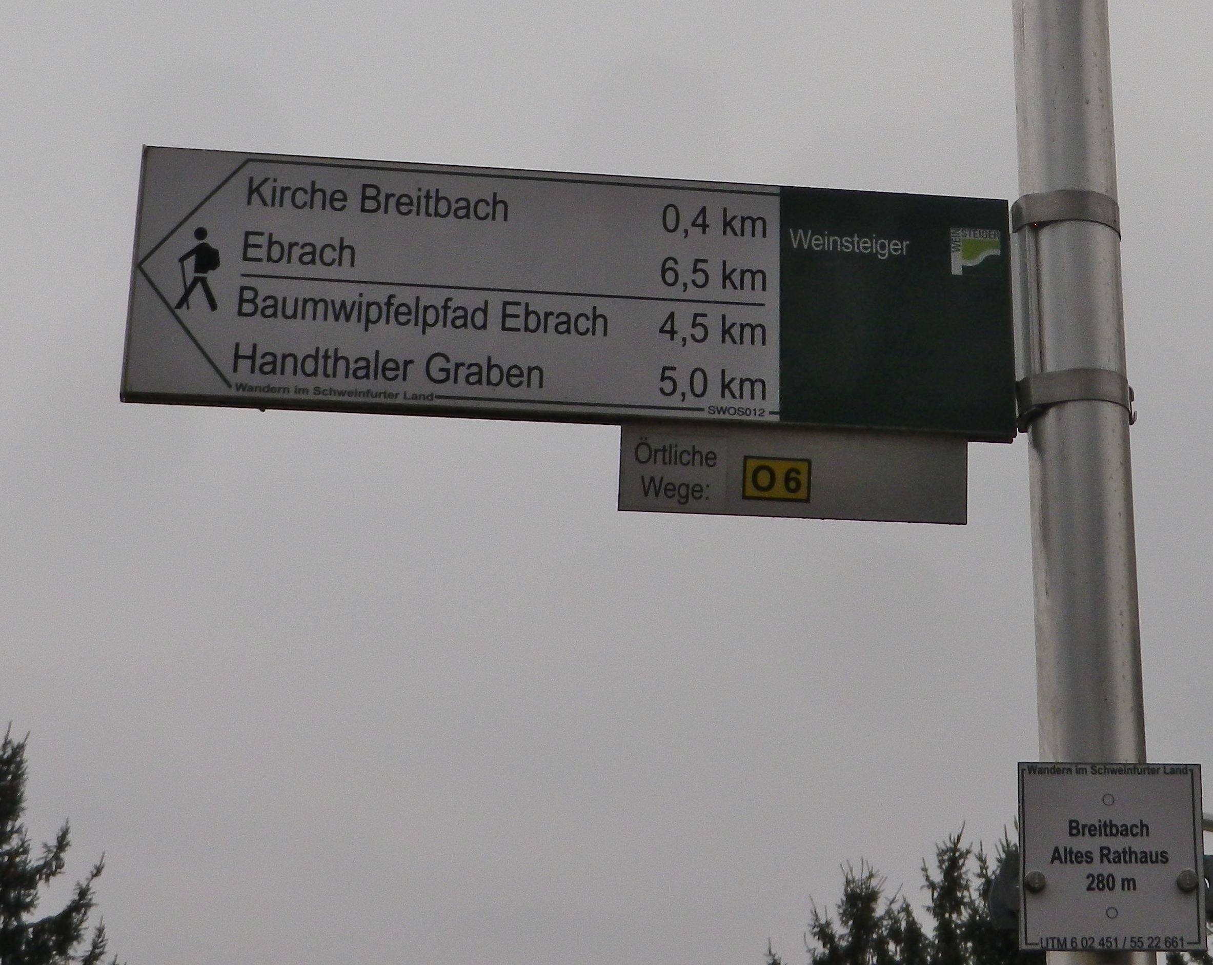
Marking:
Square with the word “Weinsteiger” in black on a white background, with a smaller square composed of light and dark green beneath the word. Sometimes seen on directional signs as well.
Completing the first three stages of the Fraenkischer Rotwein Wanderweg (Franconian Red Wine Trail), and breaking off at the train station in Erlenbach am Main, I intended to return to finish the trail. However, life intervened, and it took me a lot longer to return than anticipated. But the delay only heightened my desire to hike the rest of this itinerary, to see what lay hidden around the next curve.
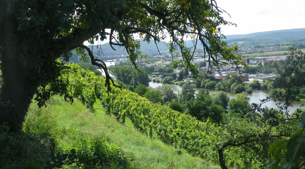
Lying about 100 miles south of the geographic center of Germany, Churfranken vines grow in red sandstone and loess soils and subsoils. This small area of Franconia’s wine region is in the Mainviereck wine district. The Main River flows through the Churfranken, which generally enjoys a mild enough climate with sufficient sun exposure for ripening grapes.
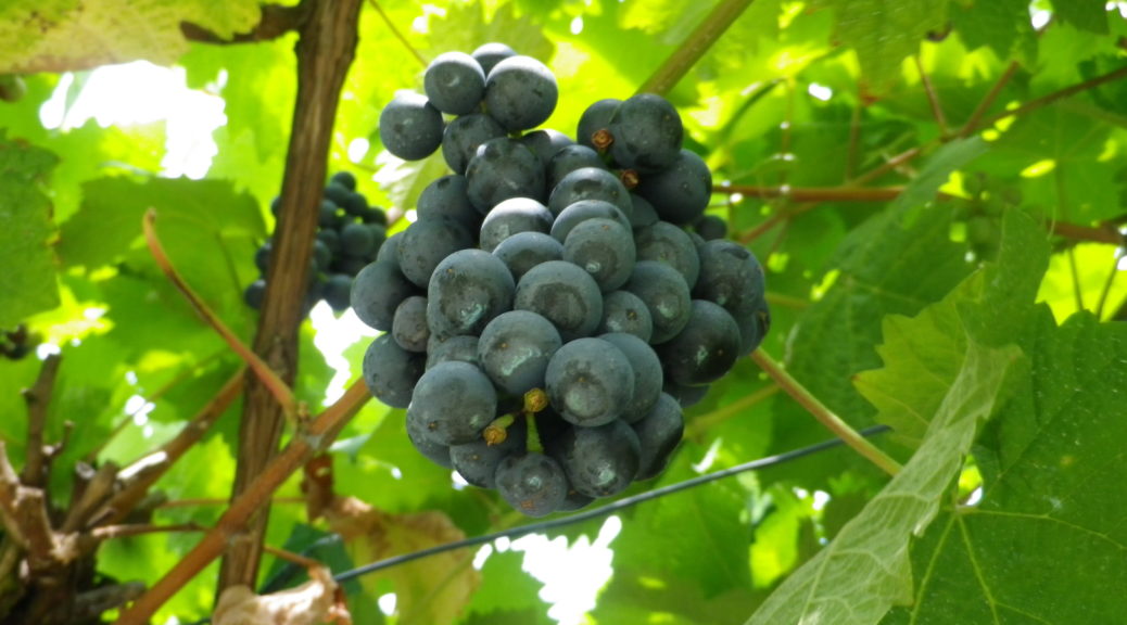
This area is especially known for its red wines. In fact, the Churfranken Pinot Noirs are consistently judged the best red wines of the entire Franconian region. So, while local vintners grow the ubiquitous Franconian white grape varietals of Silvaner and Bacchus, as well as Riesling, the reds carry the day here. Blauer Spaetburgunder (Pinot Noir), and Blauer Portugieser are two well-known red varietals locally. Another red varietal is the Schwarzriesling. Also known as the Muellerrebe, it is not completely uncommon in this part of Germany, although you will be hard pressed to find it outside the Franken and Wuerttemberg wine regions.
Trail Type: Long-distance trail; well-maintained with a wide variety of surfaces, as well as stairs; marking on the trail rather good throughout.
Length:
Total – 79 kilometers (km)/49 miles
This segment (Last three stages): 29.5 kilometers/18.3 miles
Convenient to:
Aschaffenburg, Germany
Marking:
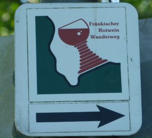
A Franconian wine glass (fat-stemmed), mostly red in color, often with the words Fraenkischer Rotwein Wanderweg, set on a green and white background on a square.
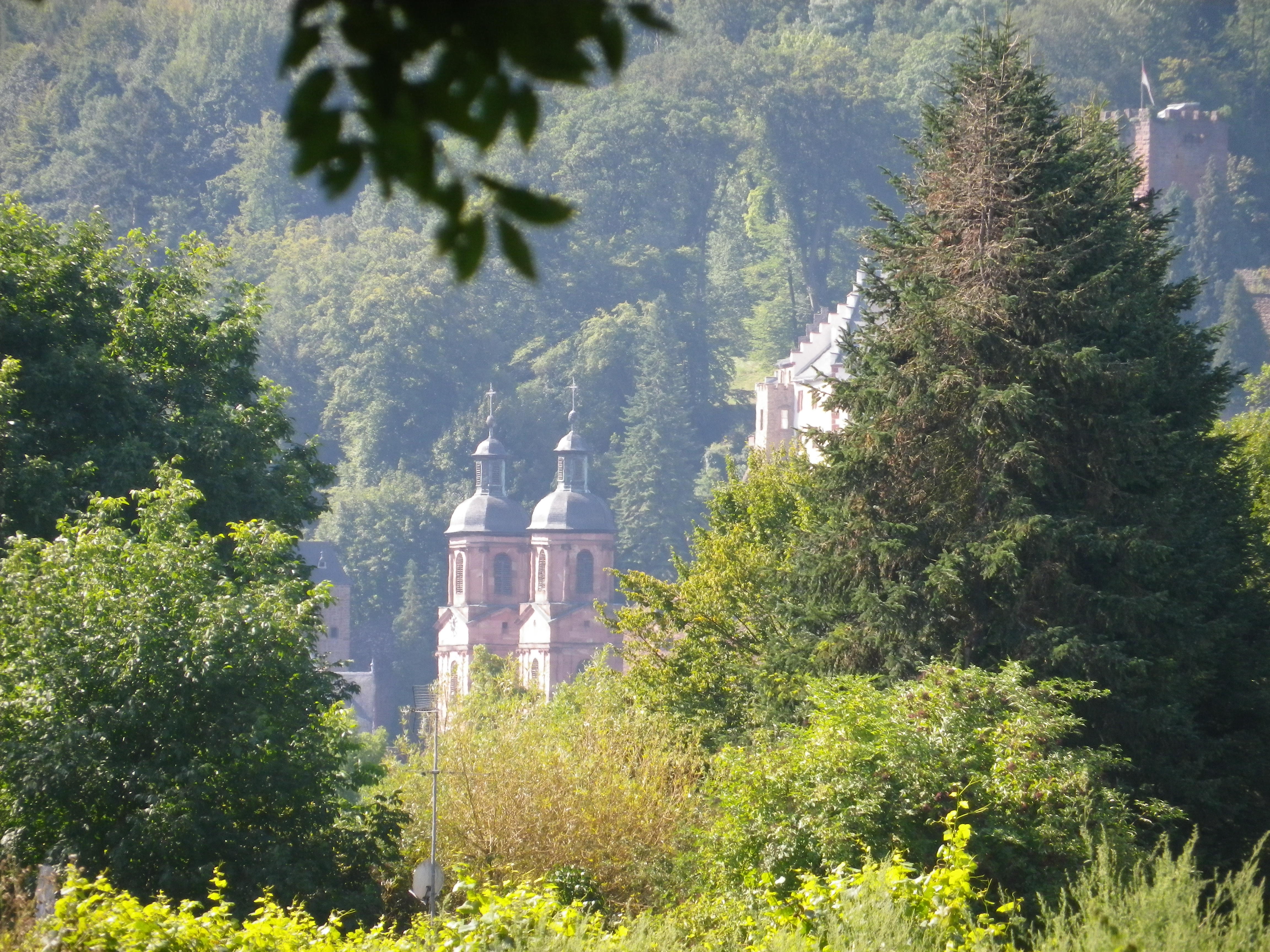
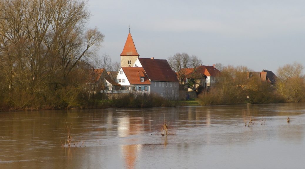
The “Sommer” in Sommerhausen means summer in German, but there were no signs of it the day I was there. Dark, windy and spitting rain, as is normal in the winter here, it was a good day to follow the Weinsbergweg, the town’s trail devoted to its wines, along the slopes lining the Main River, about 8 miles south of Wuerzburg.