Trail Name: Sentier des Terroirs
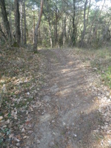
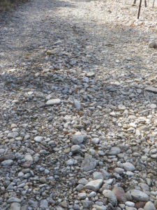
Trail Type: Short to mid-distance circuit trail; well-maintained and widely varying surfaces from paved to very rough, marking on the trail very good in places, completely missing in others
Length:
Total – About 18 kilometers/11 miles
Southern/yellow circuit: 9.35 kilometers/5.8 miles.
Convenient to:
Montelimar or Nyons, France
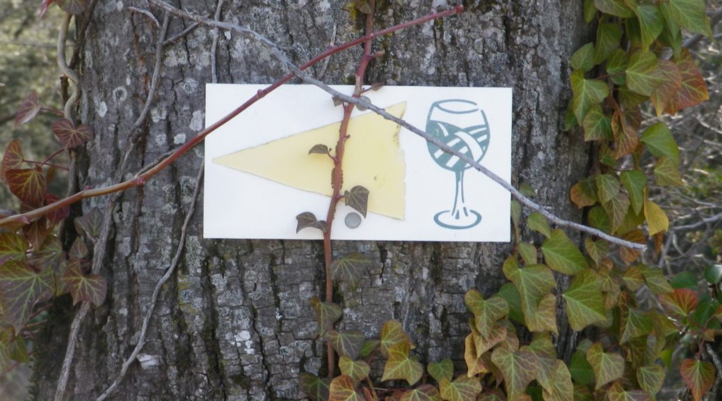
Marking: Numbered wine bottles (some missing) in part, red or yellow arrows with a stylized vineyard area depicted in a wine glass, in other places
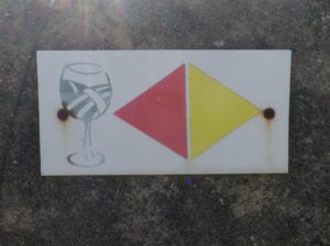
(The featured photo on top shows signage for the Yellow trail only.)
Trail Description: A relatively easy, family-friendly and varied trail offering wine education (close to the village), garrigue and vineyard landscapes, overlooked by tall mountains to the east. The trail has two conjoined circuits, making it possible to adapt hiking plans, depending on available time or weather situations. (See the comment below about flooding.)
Trailhead:
St Pantaleon-Les-Vignes: By the townhall (with church-like tower); or Cave Vignerons, Route de Nyons 1
Parking:
St Pantaleon: just off traffic circle, or by the town hall (Mairie), D548 x D541, and by Chateau Urdy
Public Transportation Options:
Rail: The closest rail service is at Montelimar, with good connections plying the major French North-South artery of the Rhone.
Bus: Buses provided by the Auvergne-Rhone-Alps Region (Oura on the website) “Cars Region” service, frequently connect Saint Pantaleon, Rousset, and Taulignan, with Montelimar, (and the rest of France).
Suggested Stages:
The full trail (both northern (heading to Rousset les Vignes) and southern halves) can be done together, or separately.
Trail Itinerary-Reference Points: (Southern circuit only – Clockwise)
Traffic circle on D 541/Rte. de Nyons – Montelimar, D548 -Grand Grange, right fork to Route des Juliannes; La Beaume, cross bridge over the Rieumau creek, Cross D541/Plan du Gre/Rte. de Nyons; Fontaine de Barral; Chapel; Cross the viaduct over Torrent de la Fosse; Chateau Urdy; Traffic circle with super-sized “ wine corks;” Cross D541 to return to the village
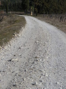
Representative Trail Photos:
Restrooms:
In the village, by the church.
Attractions on or near Trail:
The Vignerons de Valleon winery offers tours and tastings to the public, are open liberal hours, and are very helpful and knowledgeable about the wines, as well as about the area and the trail.
Tasting along the Trail:
Chateau d’Urdy
Cave Vignerons de Valleon
Alternative Options:
Car: The Route de la Drome Provencale passes through Taulignan, St Pantaleon-Les-Vignes and Rousset-Les-Vignes, showcasing vineyards, quiet villages and beautiful old structures.
Additional Information:
Regional: https://www.grignanvalreas-tourisme.com/votre-sejour/agenda/
Trail specific: While not much is available online (to help with advance planning), the following website has a map of the southern route http://balades26-07.blogspot.com/2017/01/st-pantaleon-les-vignes-nd-de-sante-par.html (a big “Merci!”); and a map of the northern route may be found online at https://www.valleon.fr/un-terroir-et-des-hommes/, and at the winery’s front office, and the townhall.
Comments:
Snow is rare in this area, but…
Heavy rain can occur, and will flood parts of this trail, especially the low ground at the base of the hill south of the hamlet of Barral, at the Torrent de la Fosse!