Trail Name: Fuisse (FU), Subtitled: Entre Pouilly et Fuisse
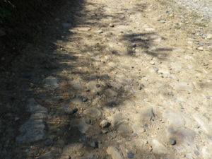
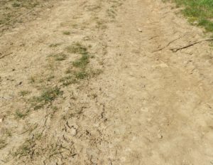
Trail Type: Short distance circuit; partly paved, partly hard-packed path, some rocky sections, well maintained, but the route itself is fairly well-marked.
Length: 8 kilometers/5 miles
Convenient to: Macon or Lyon, France
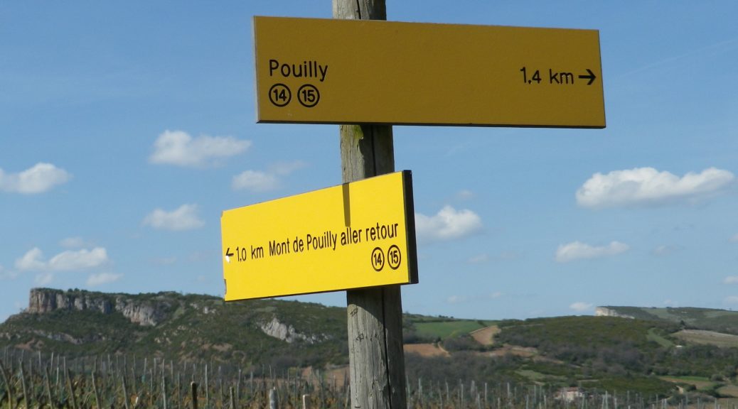
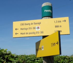
Marking: Posts with yellow signs indicating location, directions and distances; yellow (usually painted bars) on trail route will indicate that you are still on a trail, and your next change of direction (left or right)
Trail Description: This is an easy circuit trail leading from a quiet little village, up along a ridgeline through woods then vineyards, into another village, and through more vineyards before returning to the start. Some nice views, and some attractive, but small woodlands provide the highlights.
Trailhead: Fuisse, Place Saint Germain
Parking Possibilities: Fuisse, Place Saint Germain, Les Combettes (off D172/Rue Cache Poupons)
Public Transportation Options:
Bus: Not convenient
Rail: Frequent service from other points in France, especially Lyon, to Macon.
Suggested Stages: Not applicable
Trail Itinerary-Reference Points:
Fuisse: Place Saint Germain-Rue du May (D209)-Chemin du Moulard Galli, here intersects with GR 76a (red and white markings), follow sign to Les Molards, past cemetery, follow signs for Les Rontes (chateau), continue to follow signs for Les Rontes along the road known as Sur les Molards, follow signs to Bois de la Fee, follow signs to Les Combettes to cross D172/Rue Cache Poupons, (where this trail diverges from GR 76a); head straight following signs for Mont de Pouilly, slight right at about 50 meters, (trail will follow mountain bike trail 7 for a while); follow signs for Pouilly; Morlays: continue to head toward Pouilly; Barvay: Chemin du Mont de Pouilly; Pouilly: Rue du Chateau-Rue de la Chapelle-Rue du Lavoir; along D209 to Fuisse: Chemin des Prouges-Au Bourg; Champs Potards; Rue Adrien Arcelin.
Representative Trail Photos:
Restrooms:
Fuisse, Place Saint Germain (behind the covered stand in the parking lot)
Attractions on or near Trail:
Solutre: While not exclusively wine-related, the Rock of Solutre, museum and archeological garden, explains the geological development of the region, and pre-historic activities of mankind at this site, in an easily digestible, but very interesting manner. While not on the trail, it is not far by car, and worth a visit.
Tasting along the Trail:
Fuisse: Domaine Pollier, Domaine Luquet, and others not visible from the trail. Fuisse also has a winebar on Rue du Plan.
Pouilly: Chateau Pouilly, Domaine des Boutires, and a couple of others
Alternative Options:
Hiking: Grand Randonnee (GR) 76a, a long distance hiking path, from Arcenant in the Haute Cote de Nuits outside Nuits Saint Georges, to the former abbey of Cluny, also continues through a small section of this AOC.
Biking: Le Val Lamartinien, Boucle 15, departing from Prisse, covers villages only a couple of miles north of these two, and more, in a very challenging ride through the Maconnais.
Car: Route des Vins Maconnais-Beaujolais: Circuits Maconnais – Circuit 7.
Additional Information:
Regional: http://www.macon-tourism.com/uk/
Trail (segment) specific: http://rochedesolutre.com/wp-content/uploads/2016/06/Solutre_randonnees.pdf
Comments:
This trail also seems to follow much of a hiking trail series in the Maconnais region known as Les Boucles du Val Lamartinien, Number 15.