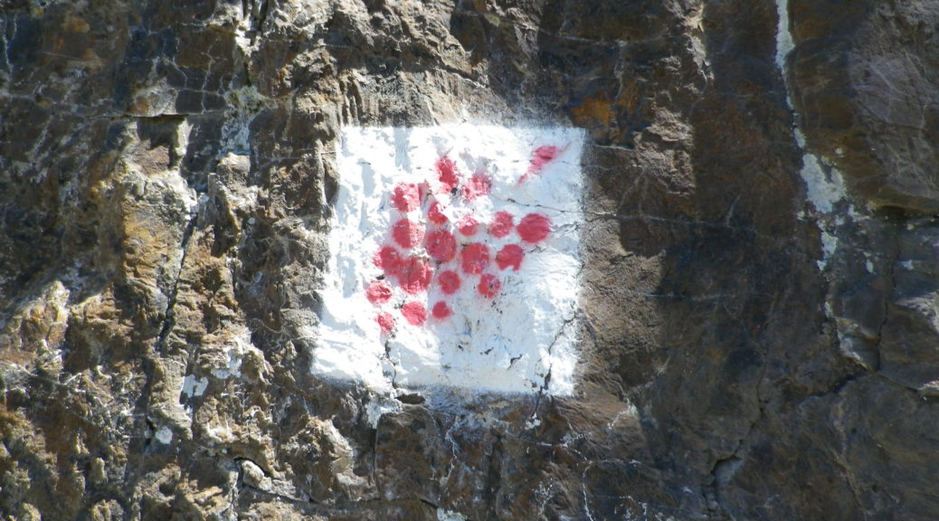
Tag Archives: Rhineland Palatinate

Wine Notes: Lower Moselle


What I Learned:

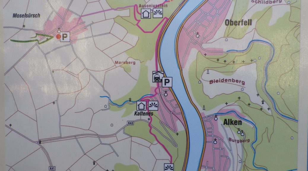
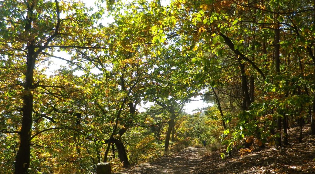
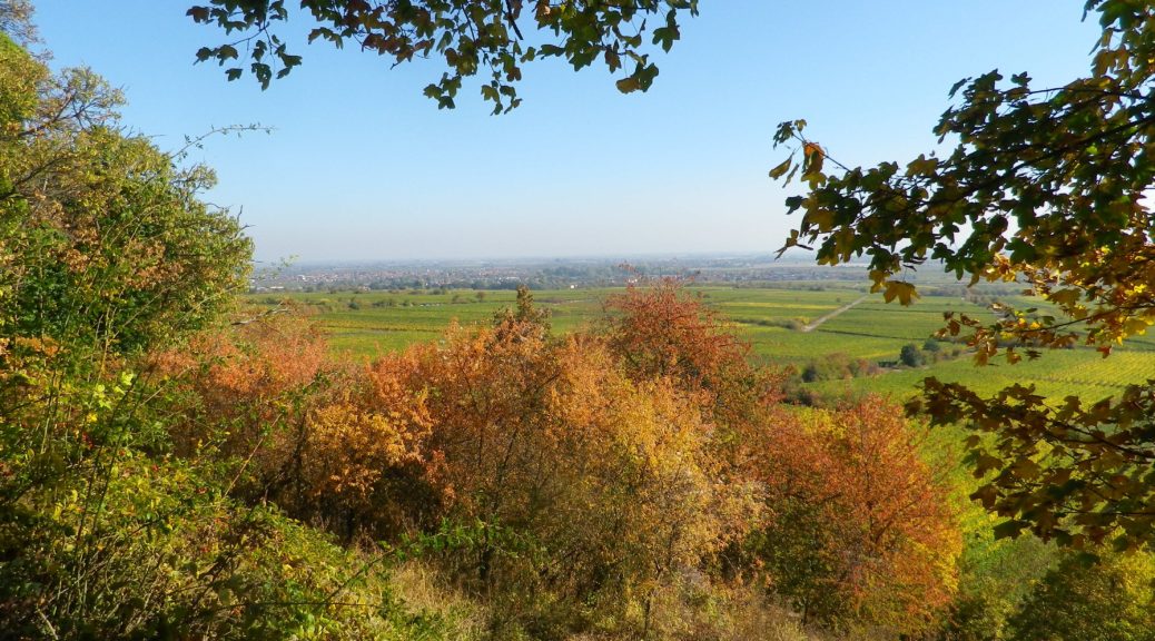
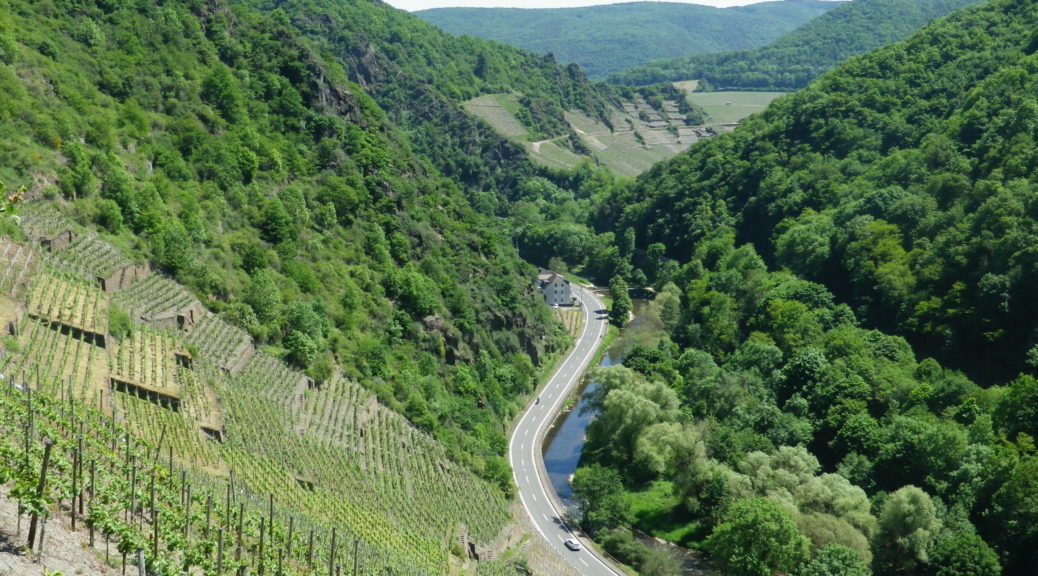
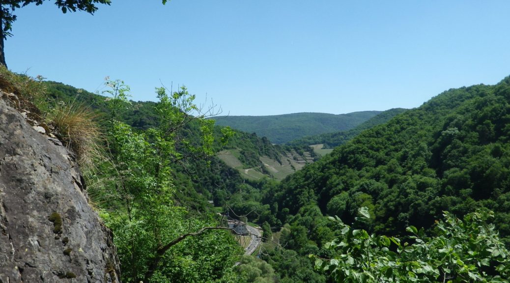
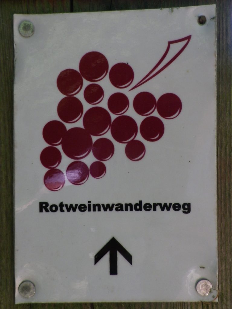
As the Moselle flows through Germany, beginning at the French-Luxembourg border, and continuing to Koblenz downriver, it is divided into sections: Upper, Middle and Lower. The Lower Moselle section also known as the Terraced Moselle. It is without a doubt the most spectacular area visually: steep slopes rise from the river edge, as the Moselle twists and turns on its way to join the Rhine.

This area, downriver from the famous wine village of Cochem, to the river mouth at Koblenz, boasts some of the steepest vineyards in the world. Hence the need for the narrow terraces which dominate the landscape on the vine-bearing hills of this sector. Between the villages of Loef and Lehman, the Loefer Sonnenring Vineyard has a gradient of up to 50 percent! Because of the steepness and terraces, the vines in this sub-region are mostly all worked by hand, resulting in wines that generally are a bit more expensive than other regional wines.

Continue reading Wine Notes: Lower Moselle

Wuerzlaysteig: Trail in a Nutshell


Trail Name: Wuerzlaysteig (See Comments below)

Trail Type: Middle distance; well-maintained but with very diverse surfaces along the trail; marking on the trail is good, albeit not necessarily for just one specific trail. (See Comments below)

Length:

Total – 13 kilometers/8 miles

Convenient to: Koblenz, Germany

Marking: (See Comments below as well)

Signs on the Trail

Continue reading Wuerzlaysteig: Trail in a Nutshell

Climbing for Wine


The climbs were steep, but the views were very rewarding. With more time, I would have done more climbs. In fact, in my castle hiking days, I had already hiked to several highpoints and castles on this trail: the Neuleiningen, the Wachtenburg, Hambacher Schloss, the Kalmit lookout, and that is just in the Mittelhaardt district. But at 185 kilometers, I didn’t have enough vacation days left! So perhaps on some other trip to Germany, I will be able to complete the Pfaelzer Weinsteig Trail.

For hikers looking for an intimate experience of the Pfalz wine region, this trail covers much of the region, as does the Wanderweg (Hiking Trail) Deutsche Weinstrasse (see the Nutshells here and here). The similarities between the two is that each pass through famous wine towns and villages, where there are countless opportunities to sample the wines and visit wineries. They both also cover a variety of landscapes from urban, to vineyard to forest. The big difference is the level of difficulty. The Wanderweg Deutsche Weinstrasse is rather easy, with only a few steep climbs into woodlands. On the other hand, the Pfaelzer Weinsteig climbs from the villages, often located at the base of the hills, far into the hills of the Pfalzer Wald forest. In that sense, the trail is physically more challenging, and more diverse.

On the Trail: Rhine River Valley

Continue reading Climbing for Wine

Wine Notes: Mittelhaardt


What I Learned

Germany’s Pfalz wine region is divided into two parts, the northern district of Mittelhaardt/Deutsche Weinstrasse, and the Suedliche Weinstrasse which is located south of Neustadt an der Weinstrasse. This entire region produces both red and white wines, with white wines making up approximately two-thirds of the overall annual production.

The Mittelhaardt/Deutsche Weinstrasse district runs along the Haardt mountains, facing east on gentle slopes in the optimal rain and wind shadow formed by the mountains covered by the majestic trees of the Pfaelzer Wald forest. This district, which begins in Bockenheim and continues to south of Neustadt, is in one of the warmest and sunniest regions of Germany. It contains towns and villages famous for their wines, as well as their lively wine festivals. Bad Duerkheim, with its Wurstmarkt in September, Neustadt with its Weinlese festival, in October, are two of the most famous wine festivals in Germany.

Continue reading Wine Notes: Mittelhaardt

Pfaelzer Weinsteig: Trail in a Nutshell


Trail Name:  Pfaelzer Weinsteig

Trail Type:

Long distance trail; well-maintained albeit with some rougher stretches along the segments through the forest and hills, naturally, marking on the trail very good overall

Length:

Total – 185 Kilometers/114 miles

Stage 4: 20 kilometers/12.5 miles (Deidesheim to Neustadt an der Weinstrasse)

My segment*- 7.5 kilometers/ miles (Train station, Deidesheim to Gimmeldingen)

Convenient to:

Bad Duerkheim or Neustadt an der Weinstrasse, Rheinland-Pfalz, Germany

Marking:

Red and white square, with white grapes on red background, trail name in red and white letters, alternatively simply red over white stripes

Signage Pfaelzer Weinsteig

Continue reading Pfaelzer Weinsteig: Trail in a Nutshell

Remembering Ahrtal


I remember the Ahrtal and its wines.  As evident below the photograph, the trail I hiked in May 2018 passed through an area filled with quiet charm and natural beauty, known for full-bodied red wine. Unfortunately, the area is now known for the epic July 2021 floods. Raging waters devastated town after town along the trail. Lives were tragically lost. The vintners lost not only this year’s harvest, old vines, and the work of decades, many also lost even the wines in their cellars. The human cost in suffering and loss of lives has been enormous. As a reminder of life, loss, and love of the area, I republish this series of posts with best wishes for recovery, in all its senses.

Wiki: Altenahr Flood, by Martin Seifert

Continue reading Remembering Ahrtal

Wine Notes: Ahrtal


What I Learned

Germany’s Ahr Wine Region, almost 50 kilometers north of the Moselle at Koblenz, is the Rhineland-Palatinate’s northern-most wine region, though it is not Germany’s northern most wine region. (That honor goes to the Saale-Umstrut region in Saxony.)  But it is the furthest north red wine region in Germany. Until seen, it would be hard to credit that red varietals could ripen well enough this far north. But the vines grow on steep, mostly south-facing slopes of dark volcanic rock, along a very narrow valley that runs (in a very serpentine fashion) from west to east. Nature and geologic activity have combined to create some ideal conditions for red varietals here, with volcanic stone soils in the western end of the valley, and loess soils in the eastern end of the valley, as it approaches the Rhine.

Continue reading Wine Notes: Ahrtal

Rotweinwanderweg: Trail in a Nutshell


Trail Name: Rotweinwanderweg (Red Wine Hiking Trail)

Trail Type: Long distance; surface footing is all hard, be it on tarmac or hardpacked earth or stair-steps; very well maintained, and extremely well-marked.

Length:

Total: 35.5 kilometers / 22 miles

My segment: Altenahr to Marienthal (@15 kilometers / 9 miles)

Convenient to: Bonn, Germany

Marking: Red grapes on a white background

Rotweinwanderweg Signage

Continue reading Rotweinwanderweg: Trail in a Nutshell