Tag Archives: hiking German vineyard trails

Wine in Saxony


Germany’s eastern-most wine producing region is in the region of Saxony, starting not far from the eastern borders Germany shares with Poland and the Czech Republic. Culturally, Saxony has a lot on offer for any culture maven; Historically, from the Carolingian era forward, Saxony played a tremendous role in the political vicissitudes of the German speakers in this region of central Europe, with monuments of all sorts to prove it; Additionally, the Saechsische Schweiz (Saxon Switzerland) region, with its famous rock formations like the Bastei and Lilienstein, provides magnificent hiking trails for visitors to enjoy!

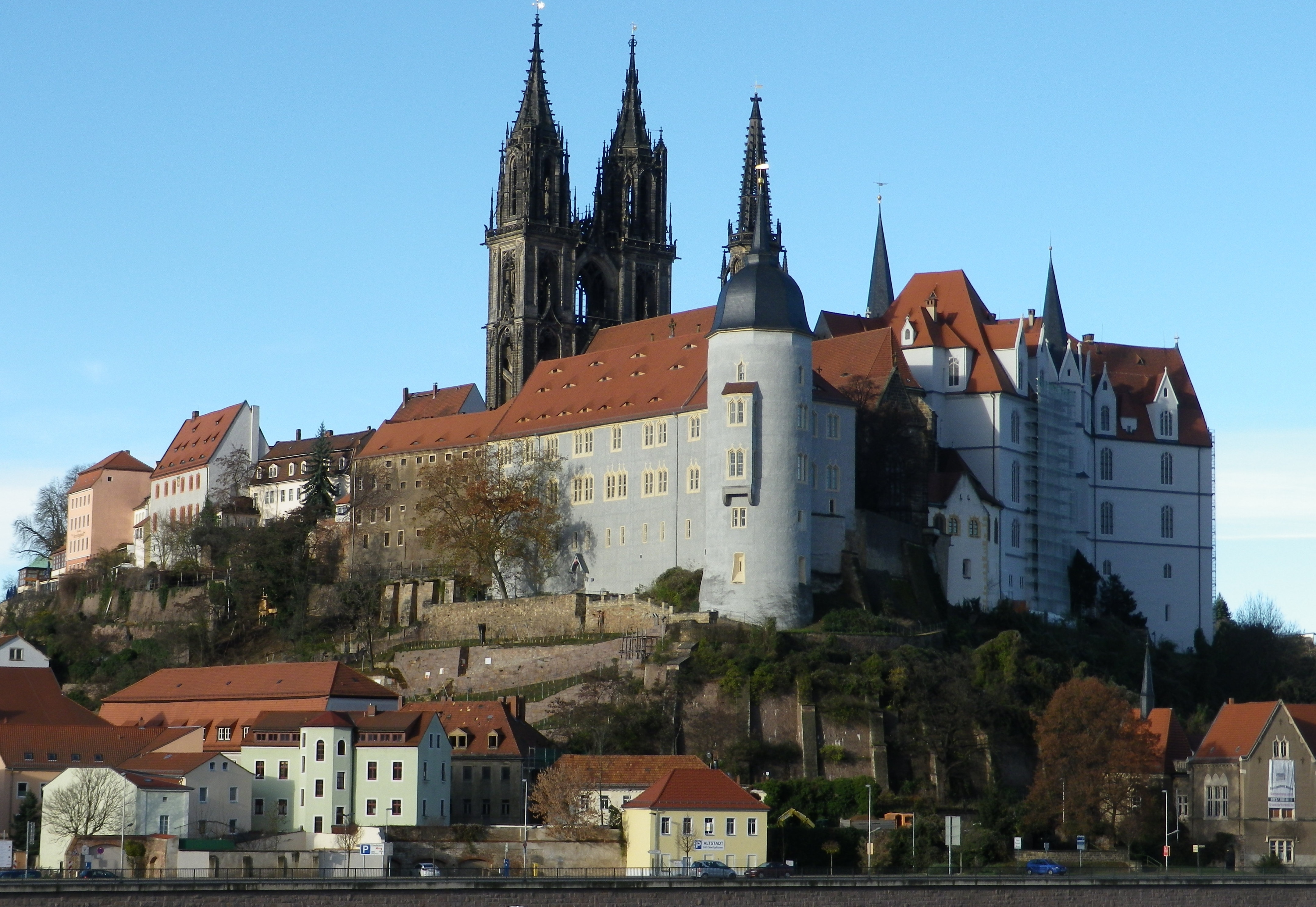
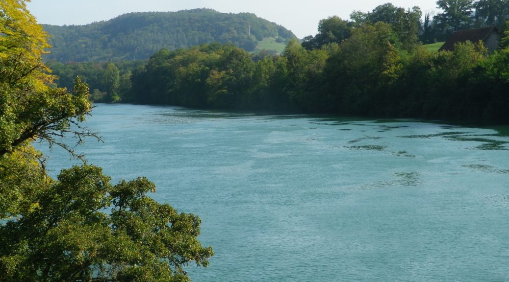
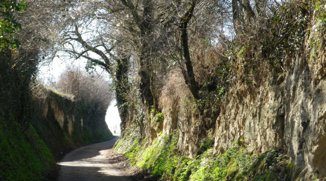
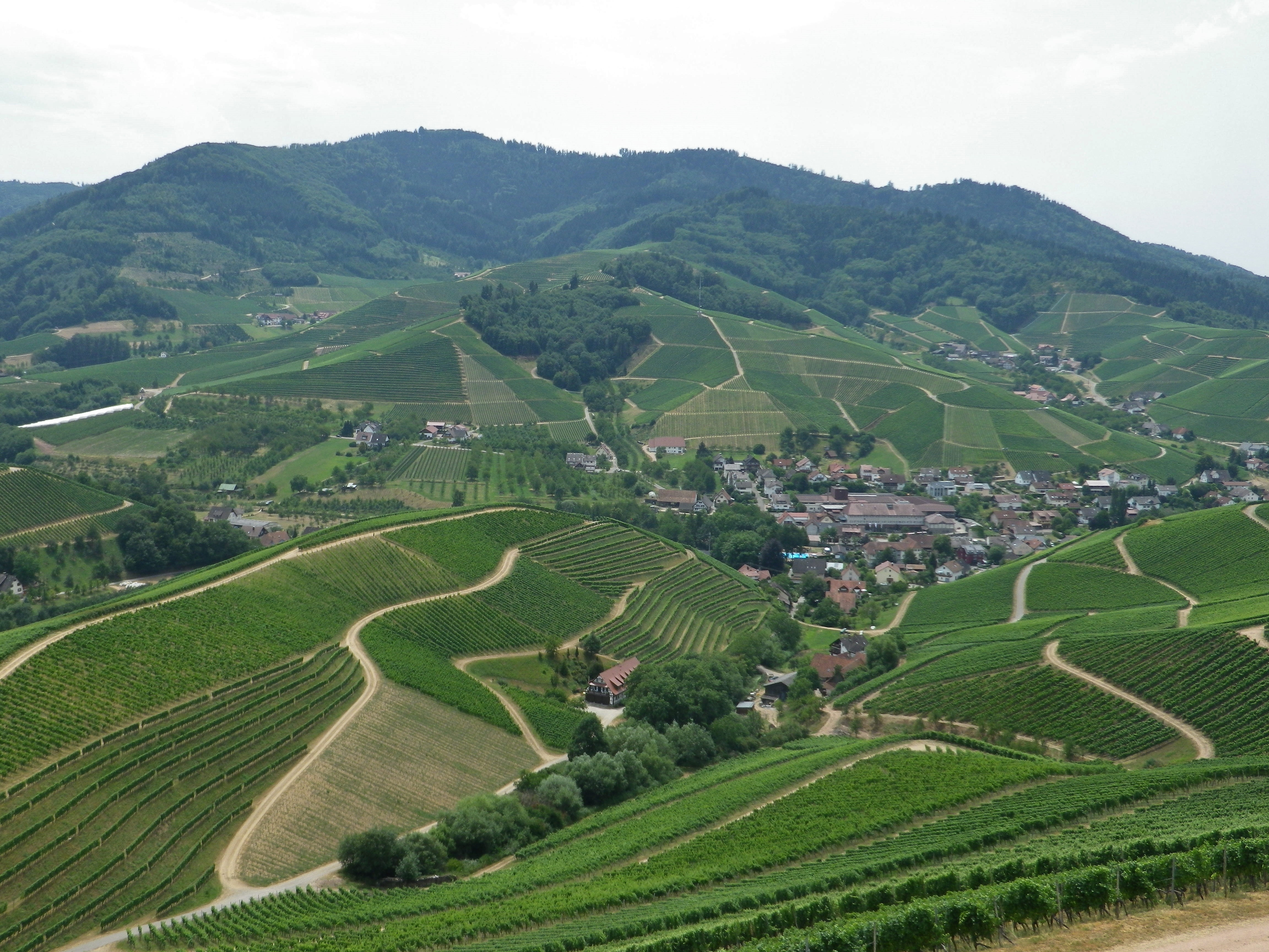
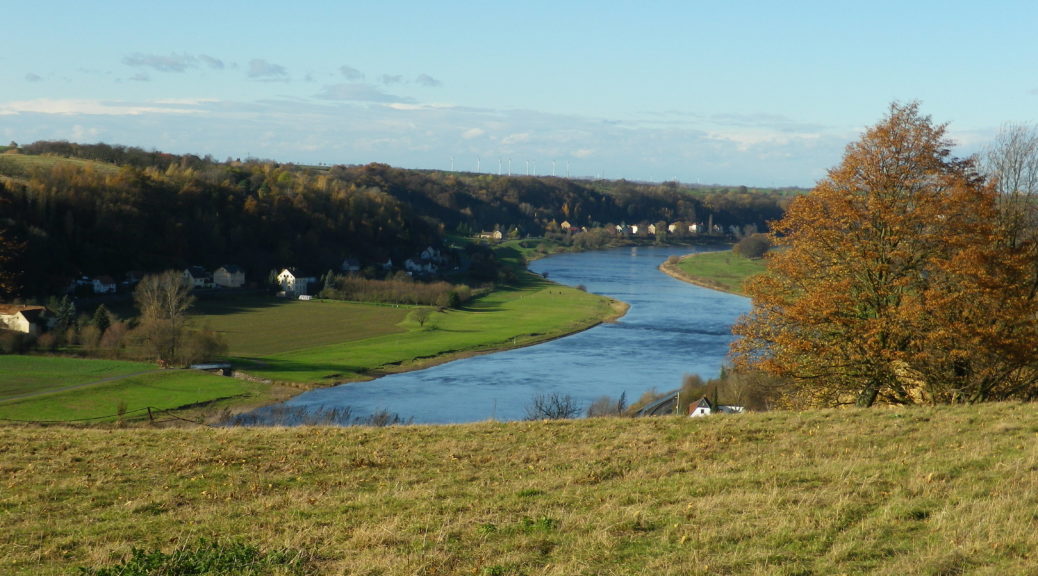
Naturally, the hiking trail I chose was a wine-themed trail. This far east and north, vines usually require a body of water to help moderate the temperatures. In this case, the vineyards primarily flank the right bank of the Elbe River.  The trail itself followed through these vineyards, and through several villages, towns and cities associated with wine-making. This trail, almost 90 kilometers long, covers much of the vineyard area for which this part of Saxony is famous, interrupted, if you will, by the huge city of Dresden. Not having time to complete the whole trail, I had to choose one segment. I had previously visited Dresden, itself an important city culturally and historically, but never got to Meissen, home to the famous porcelain factory. Thus, I decided to start in vineyards on the southern edge of Meissen, and hike to the end of the trail.

Meissen: Castle and Cathedral

Continue reading Wine in Saxony

Hiwweltour Bismarckturm: Trail in a Nutshell


Trail Name: Hiwweltour Bismarckturm

Trail Type: Mid-distance circuit; trail surface variable – from earthen to paved, includes stairs, well maintained overall; the route itself is fairly well-marked.

Length: 10.3 kilometers/6.4 miles

Convenient to: Mainz, Germany

Marking: A cursive lower-case “h” on a half-blue/half-green rectangular-shaped background

Hiwweltour Signage


Continue reading Hiwweltour Bismarckturm: Trail in a Nutshell

Kur und Wein: Trail in a Nutshell


Trail Name: Kur und Wein (Cure and Wine) – Rundwanderweg LT 17

Trail Type: Long distance circuit trail; variety of paved or hard-packed surfaces, to include stairs; well maintained, and fairly well-marked, once beyond Bismarckstrasse in Bad Mergentheim.

Length: Total: 16.25 kilometers/ 11 miles

Convenient to: Wuerzburg, Germany

Marking: LT 17 (and Panoramaweg in Bad Mergentheim)

Continue reading Kur und Wein: Trail in a Nutshell

Burgunderpfad: Trail in a Nutshell


Trail Name: Burgunderpfad

Trail Type: Long distance hiking trail; varied surfaces from grass to hardpacked dirt, to asphalt; well maintained, and mostly well-marked.

Length:

Total: 27.5 kilometers/ 17 miles

Segment (mine): Gottenheim to Munzingen: 17.5

Convenient to: Freiburg, Germany

Marking: Purple grapes with light green terraces in profile, in a white circle, on a red stripe

Continue reading Burgunderpfad: Trail in a Nutshell

The Burgundies Path


When I think back on all the wine-themed hiking paths I have done, the Burgundy Path in southern Germany will always be one of my favorites. What is not to like about this trail through peaceful agricultural land, and laid-back villages, in Germany’s warmest, sunniest and driest area!

The Tuniberg is by the Kaiserstuhl, a unique geographical outcropping formed by volcanos. However, the Tuniberg, on the southern edge, is a giant bank of limestone, which extends roughly north-south for over a dozen miles. Its sometimes steep slopes stand higher than the Rhine River valley lands around it. This affords great sun and wind exposure, which combined with a goodly amount of sun for an area this far north, and limestone soils, makes it the “Burgundy Oasis” in Baden.

Kaiserstuhl

Continue reading The Burgundies Path

To the North: The Wii Wegli


At this point on my hike along the Wi Wegli, I had no doubt that years from now, all my wine-themed hiking experiences considered, the Wii Wegli in the southern Baden wine region, will rank in my top three. This long-distance hiking trail provided a delightful hiking experience as well as a great tasting experience in one. From south (by Basel, Switzerland) to north (by Freiburg) great experiences awaited over every hill, and in every village. By the time I reached Muellheim, I had not realized that some of the best were yet to come.

I left Niederweiler, overshadowed from on high by the ancient Celtic, Roman and medieval edifices of Badenweiler, and climbed an equally formidable slope on the other side of the village, the Roemerberg. The climb was mostly through vineyards. Emerging from the forests that crown the top of the Roemerberg, beginning the descent, I spotted the village of Britzingen. Like so many of its neighboring villages, it is set in a hollow, following along a rushing mountain stream, and surrounded by green. However, the full magical effect of these discoveries came shortly afterwards as I wandered through eerily still Muggardt, the sole lane winding up through the hamlet on its way to vineyards.

Muggardt's Main Street
Muggardt’s Main Street

Continue reading To the North: The Wii Wegli

Durbacher Weinpanorama Trail


Durbach is the name of a quiet village set among the hills of the Ortenau wine district in Germany.

This village, on the edge of the famous Black Forest, attracts active vacationers who enjoy being outdoors. Dark green woods, bright green vineyards, and tufts of wildflowers set against contrasting shades of green, or bright blue sky, form a large part of this summertime color palette. Snaking through it, in shades of red or white, are thin paths leading upward. They combine, in a variety of ways, to form sections of the numerous hiking trails crisscrossing this hilly landscape. Hikers wishing to take advantage of them will need to stay for several days to explore them all!

From Above Durbach
From Above Durbach

Continue reading Durbacher Weinpanorama Trail

Weinpanorama Weg: Trail in a Nutshell


Trail Name: Durbacher Weinpanorama Weg

Trail Type: Medium distance circuit; tarmac or hard-packed (albeit some loose gravel here and there), well maintained, fairly well-marked, albeit not always easy to see. (Also see comments below.)

Length: total: 16 kilometers / 10 miles

Convenient to: Offenburg, Germany; Strasbourg, France

Marking: Signs with white letters spelling “Durbacher Weinpanorama”

Durbacher Weinpanorama Signs

Continue reading Weinpanorama Weg: Trail in a Nutshell