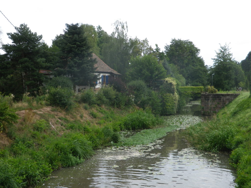
Kappelrodeck’s witch is a good one, IMHO. She brings happiness and casts an enchanting spell over the little town and its surroundings. Her spell succeeds in charming and beguiling all who make their way through the relatively narrow pass climbing along the Acher valley at the foot of the Black Forest Mountain range.
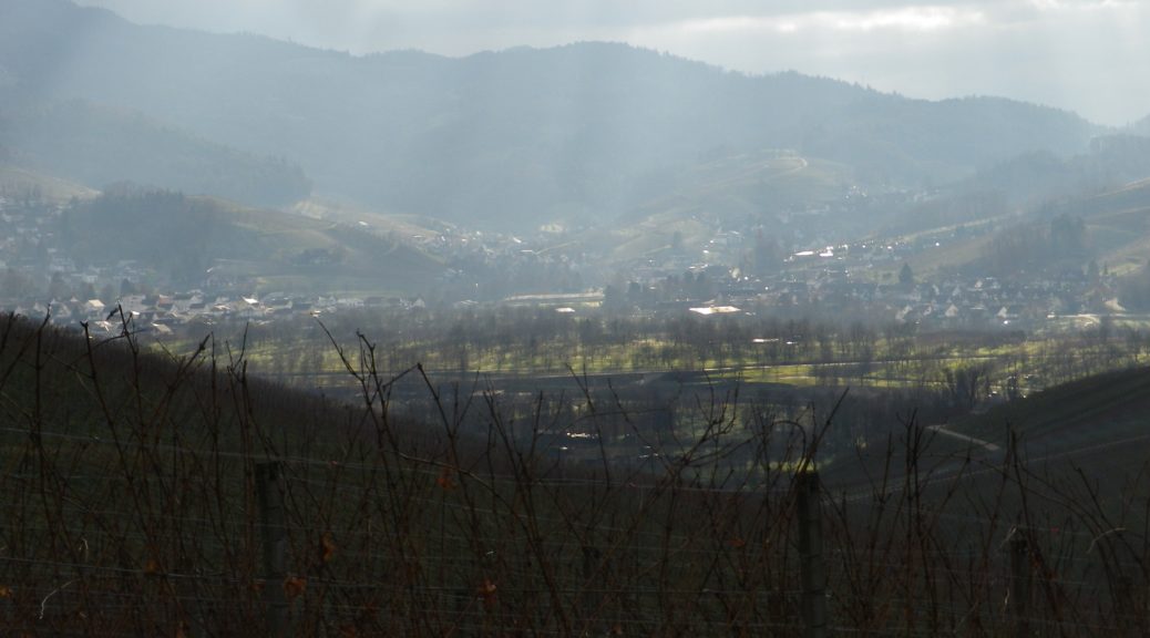
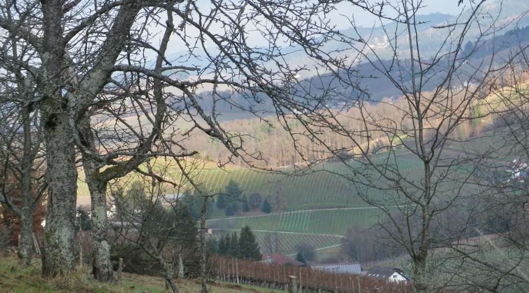
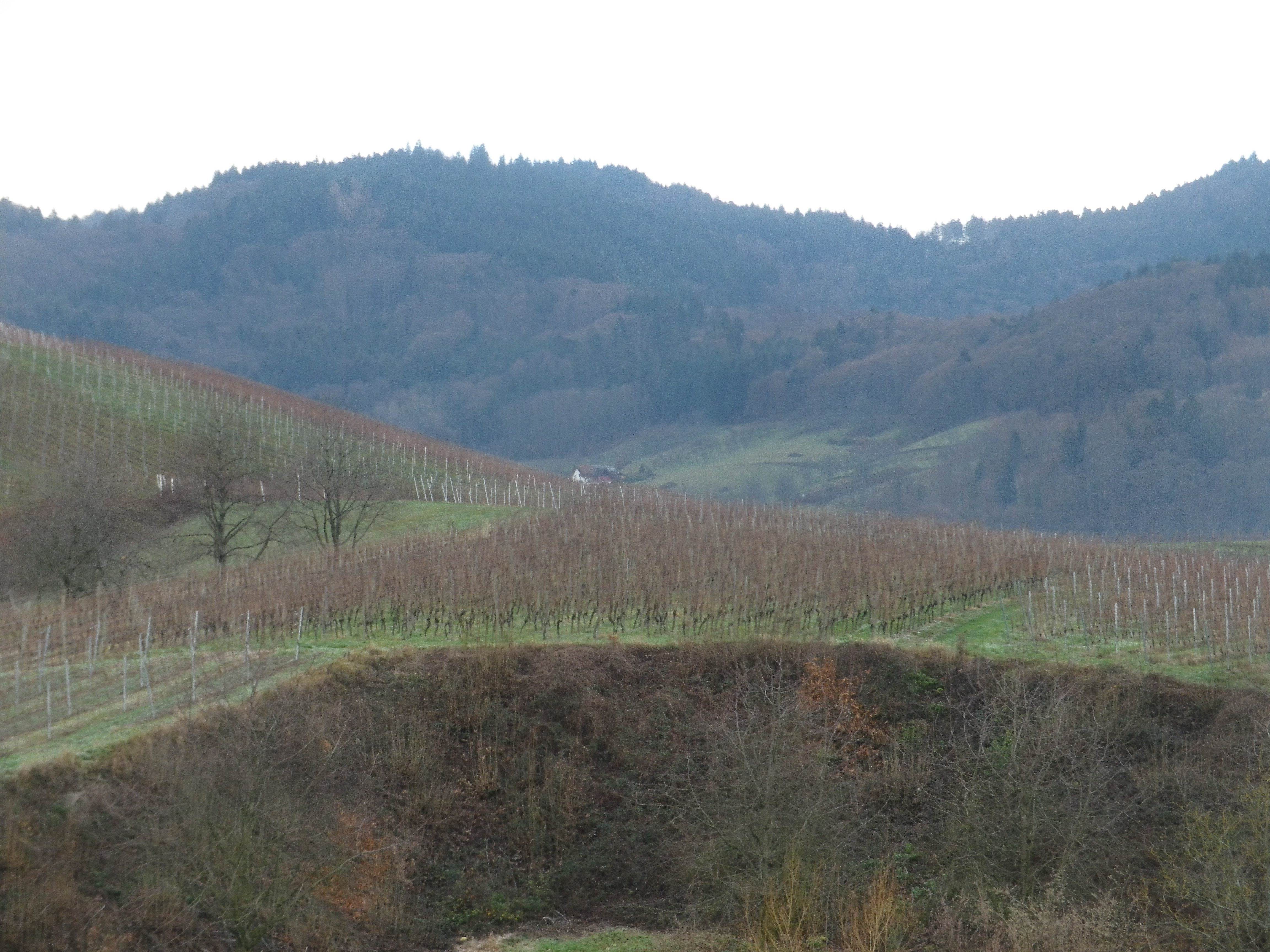
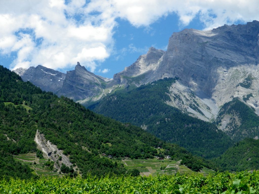
Certainly, the landscape bewitches with its fascinating geology and natural beauty! Hills mound about like lumps on the landscape. Most of their slopes contain vines. These face the sun at different times of the day. The sun, along with the rain (and snow in the winter), make these incredibly green. The tops of the hills are often covered with pines: Tall, dark and majestic. Behind them the Black Forest begins.
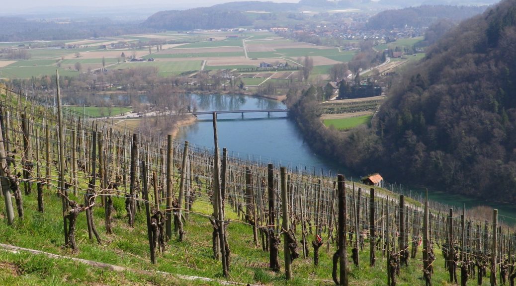
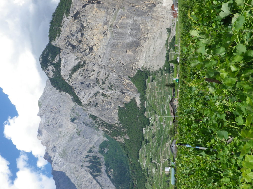
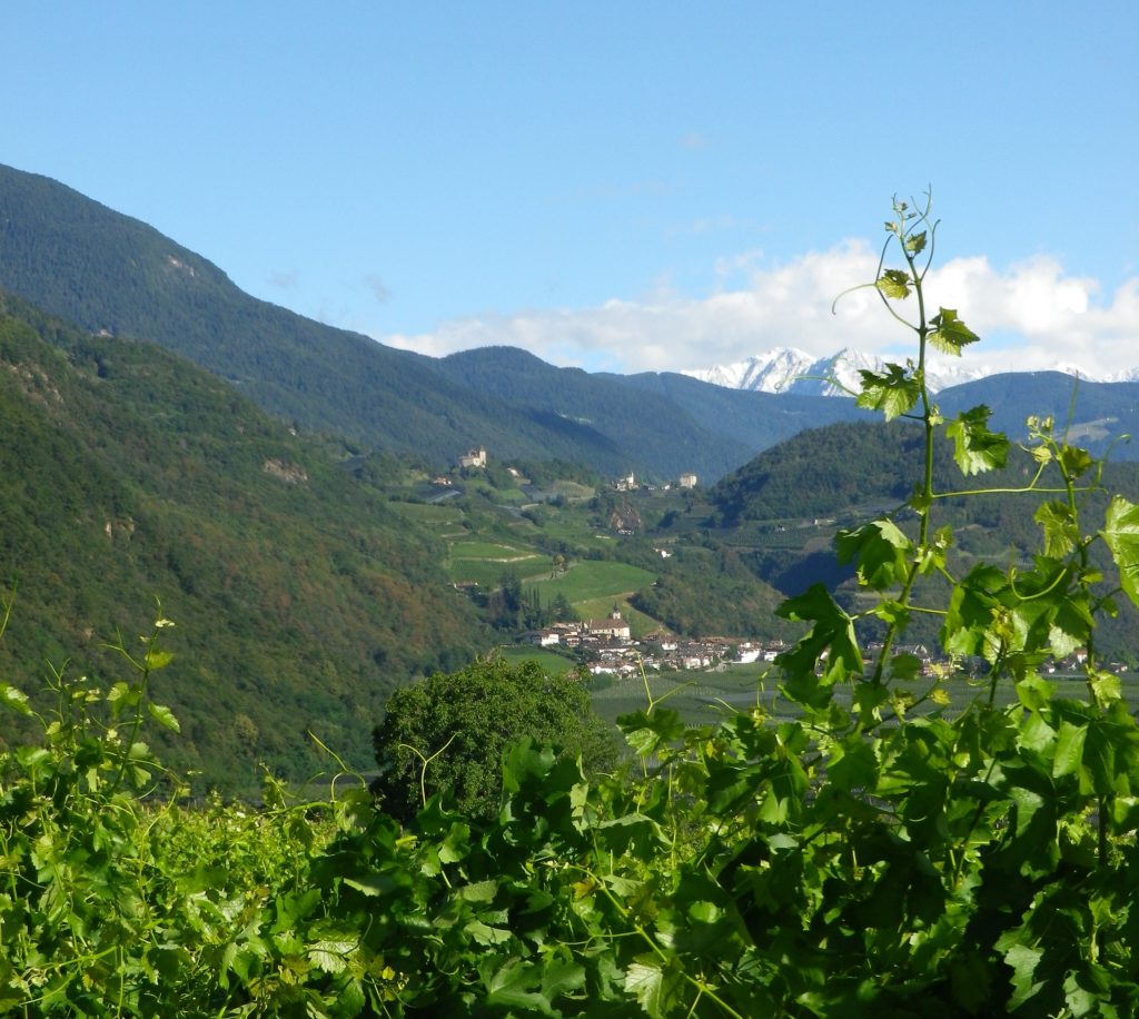
Certainly one of the most fascinating vineyard areas in Baden’s Ortenau wine district, the area around Kappelrodeck and Waldulm stands out as topographically impressive for growing grapes in a never-to-be-forgotten mixture of hill and dale.
Slopes are steep. Hills cluster close together. The profile of the hills resembles a grape cluster lying on the ground: round mounds intersected by narrow dales. This topography is ideal as far as the vines’ exposition to the sun goes. Being steep, rainwater drains well away from the vines. Additionally, the area lies in a valley sheltered by higher ridgelines to the north, south, and east. As a result, even though this area of Germany has its share of foggy or overcast, even rainy, days, when the sun shines, each grape stands a good chance of getting some decent exposure to its warming and ripening rays.
Trail Name: Kappelrodeck – Durch die Weinberge (Through the Vineyards)
Trail Type: A mid-distance circuit itinerary; well-maintained, and on mostly paved or even, hard-packed surfaces; marking on the trail is directional to the next itinerary point and not specific or exclusive to this itinerary.
Length:
Total – 10 kilometers/6 miles
Convenient to: Baden-Baden or Karlsruhe, Germany
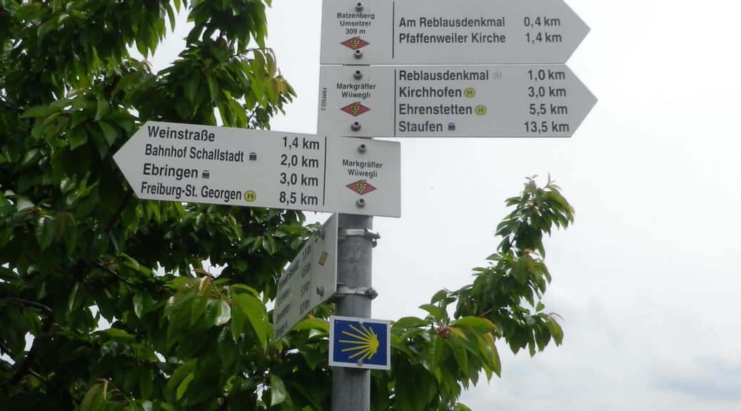
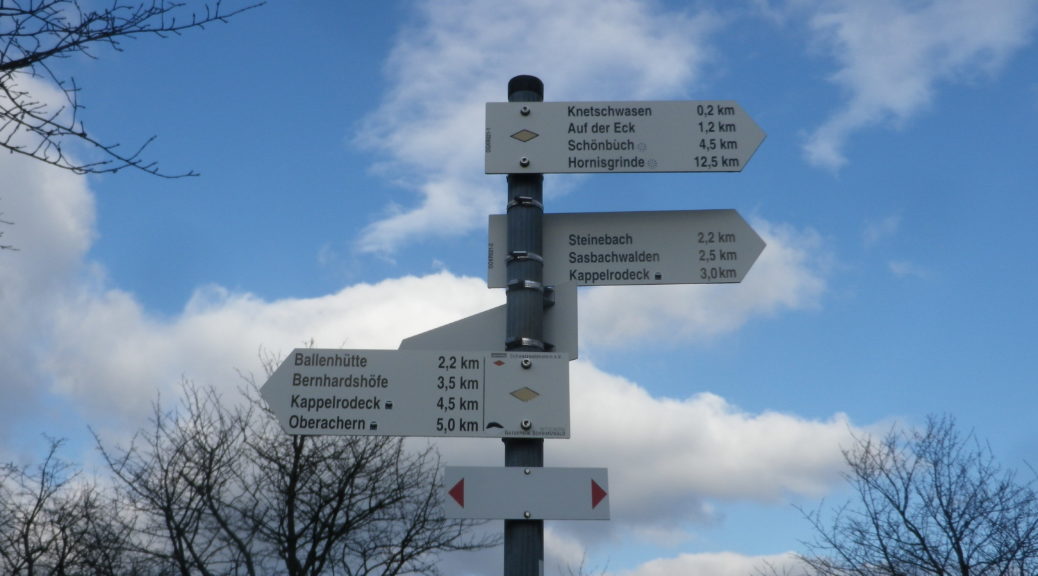
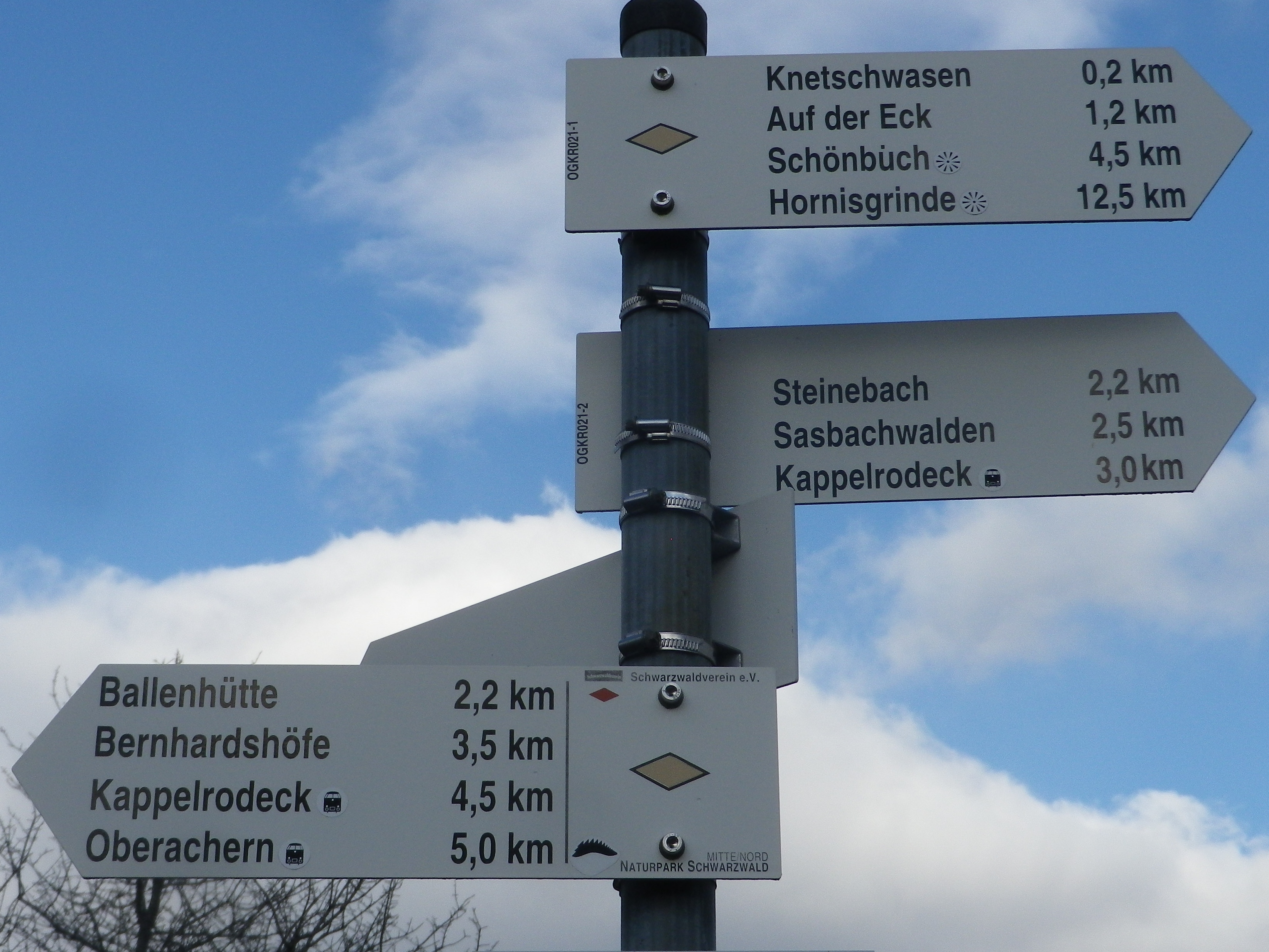
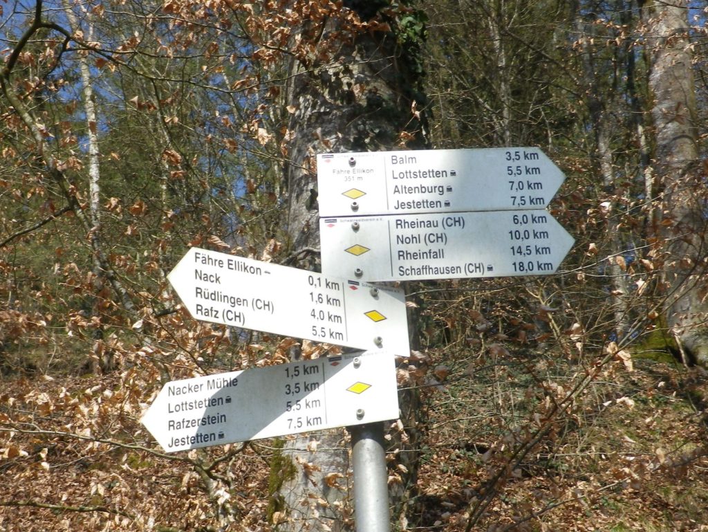
Marking: None specific to the trail, but a series of sign posts will indicate the way to the next one along the itinerary (See itinerary below).
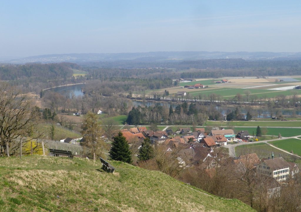
The city of Schaffhausen in Switzerland earned its fame as the city of the Rheinfall, where the Rhine River tumbles and falls with a deafening roar over boulders as it curves through the cliffs lining the river. It is also the leading city of the canton, and the vineyards around it, and in nearby Hallau, and downriver, are also named after this city. Although it has these and several other claims to fame, it is not a heavily visited area on the Rhine.
View of Two Countries and Two Cantons
I made a quick visit to this canton in 2019 to complete a hike. It was an easy one, through largely flat terrain as it mostly meanders along the Rhine River. It starts in the German town of Jestetten, a pleasant little town to visit, set amongst the farms of this rural district. Along with the villages of Lottstetten and Altenburg, and the hamlets of Balm and Nack, Switzerland almost completely surrounds this enclave of Germany on the right bank of the Hochrhein (High Rhine).
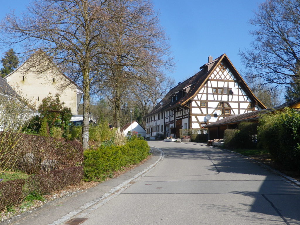
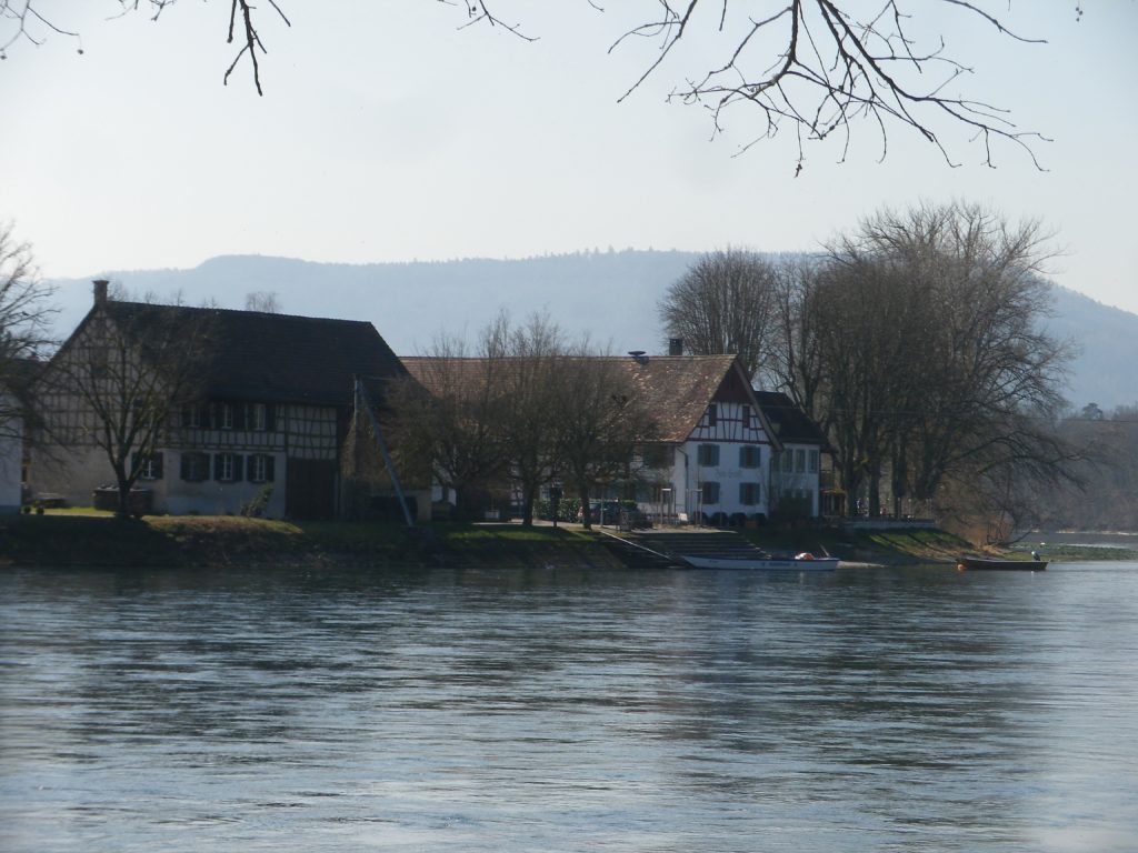
Quiet Hamlet of Balm, Germany
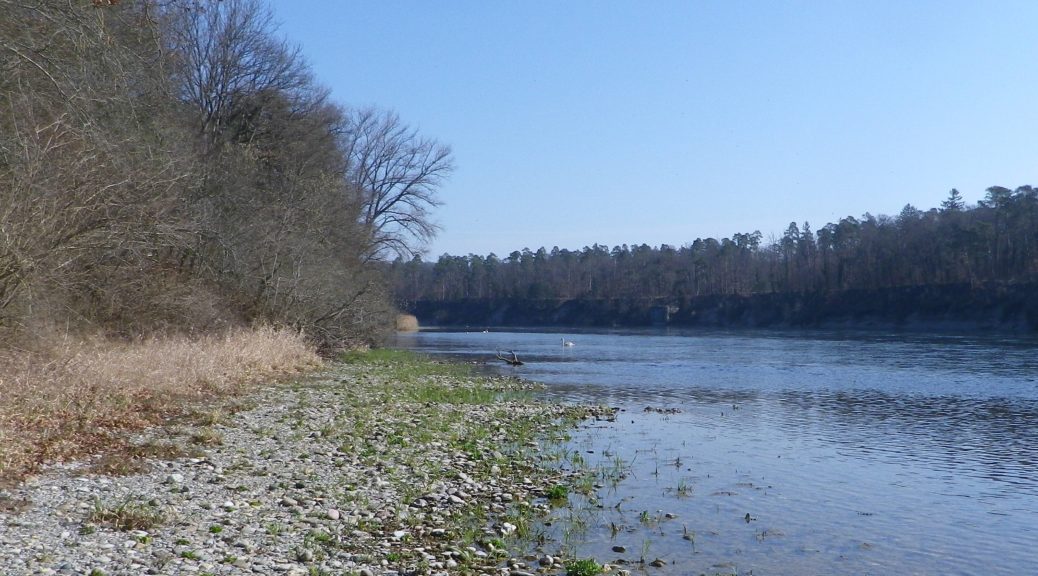
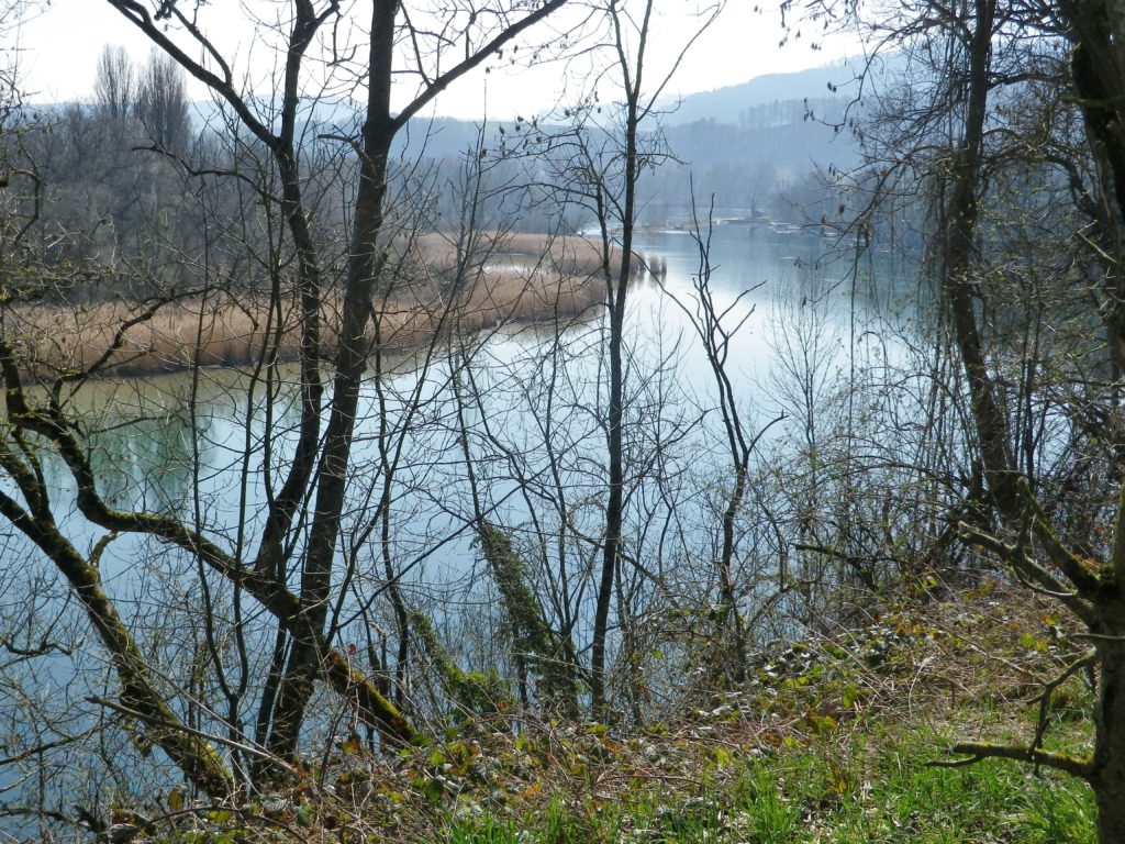
A steep descent to the “Roman” bridge (built circa 1696), led to the Volkenbach, a creek set in a dramatically narrow ravine. After climbing out of the ravine, the trail continued through woods, then fields. After Balm, the trail followed the Rhine in earnest, mostly through woods, with trees dedicated to former forest wardens, and bigger-than-life carved wooden fish commemorating generations of anglers, I suppose. For about seven kilometers (4.5 miles), the quiet sounds of riverine life prevailed: waves lapping against the shoreline stones, ducks and swans paddling through water, the occasional fish splashing about.
The Rhine by Ruedlingen, Switzerland
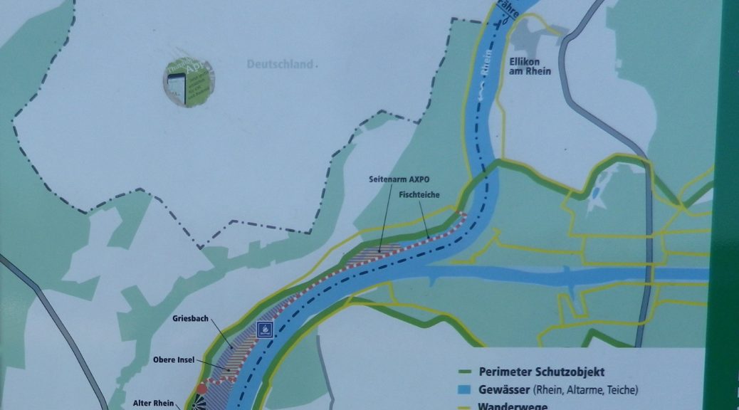
As soon as I crossed into Switzerland, a quirky sign of civilization appeared in the form of a bell. The accompanying sign warned would-be passengers to ring loudly for the ferry. On the opposite shore, in Ellikon am Rhein, were two little water-front restaurants or taverns. But at 10:30 the taverns were not yet open, so I sadly continued following downriver.
Ellikon am Rhein, Switzerland
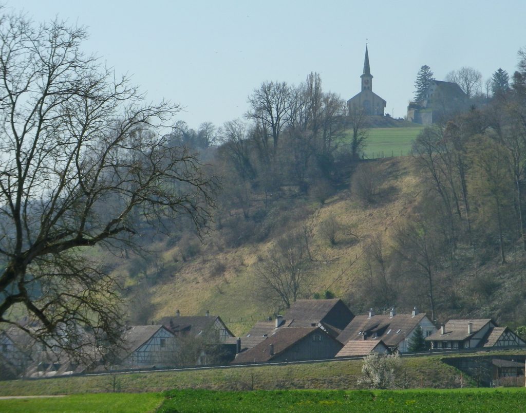
Just before the bridge crossing the Rhine (one of the few in this area), the trail cut away from the river, and quickly entered Ruedlingen. It was a small village, more like a settlement of farming families. It had an interesting center though. Set as it was against the steep Buchberg hill, at a curve in the Rhine, it seemed ideal for day-trippers to visit.
Buchberg Above Ruedlingen, Switzerland
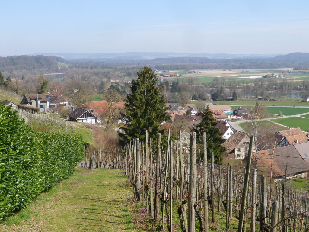
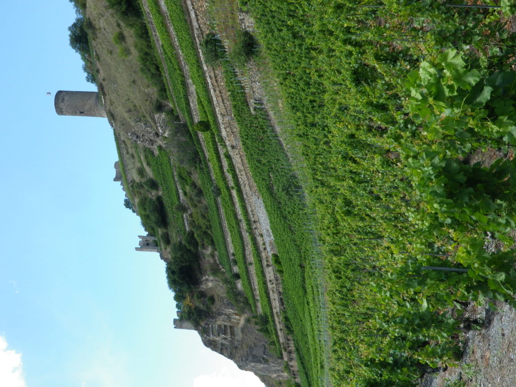
The ascent up the Buchberg was through vineyards. These were the last vineyards in the Schaffhausen Canton. They lie in a completely self-contained enclave of the Schaffhausen Canton within the Zurich Canton. The Baden wine region vineyards of Lottstetten lie to the north of them; the Zurich Canton vineyards surround them to the east and west.
Uphill Through Vines to Buchberg
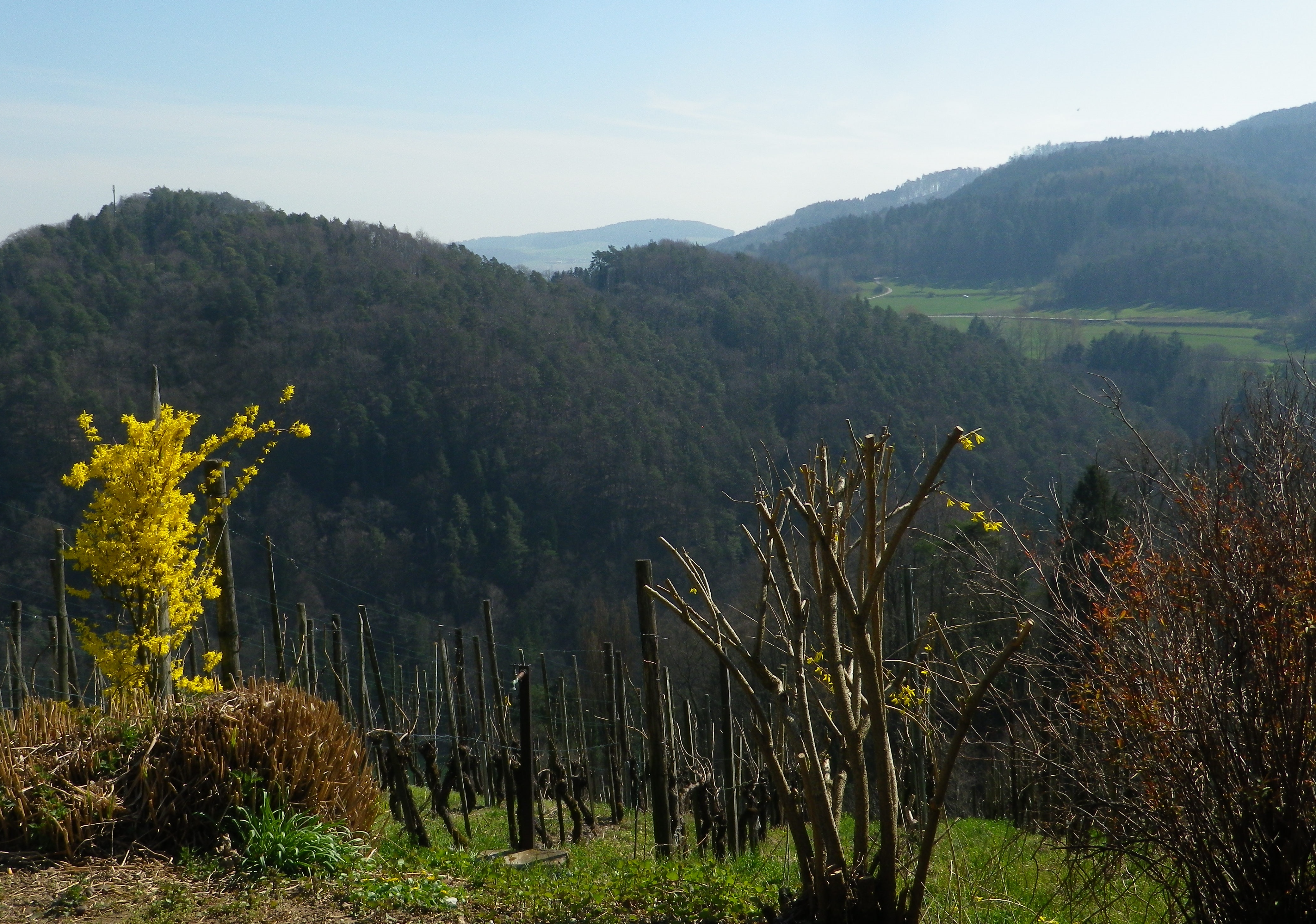
South though, lay steep hills (maybe mountains). Heavily wooded and appealing after the flatter lands by the river, they presaged an unseen Alpine presence less than 50 miles away. Those hikes will have to wait, but in the meantime, there is some Swiss wine to enjoy!
In Germany, the Steinler in Nack, a hamlet south of Lottstetten, the Kapellenberg in Erzingen to the northwest of Nack, and the Oelberg outside Hohentengen to the southwest of Nack, are the vineyard areas in this remote pocket of the Baden-Wuerttemberg. With no grossanlage, the labels on local wine bottles simply designate the name of the wine region: Baden. The small Steinler vineyard is the only one in this Jestetten/Lottstetten area, and I could only catch glimpses of its south facing vineyards from time to time. Nevertheless, the local Weingut Clauss in Nack enthusiastically produces some very good wines.
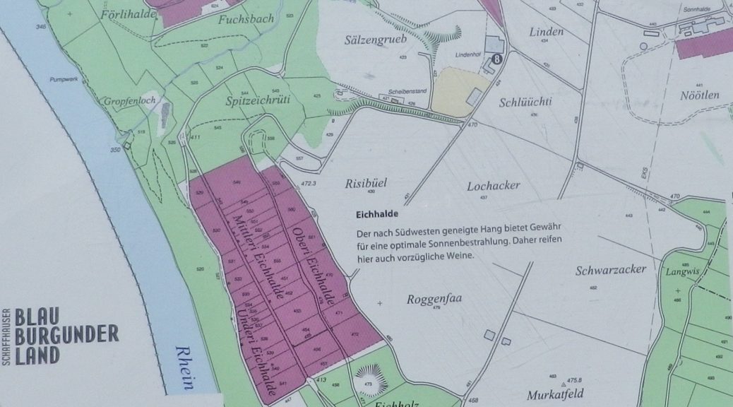
Only two miles away, the Swiss vineyards in this area begin in the village of Ruedlingen, and continue up to the top of the hill to Buchberg. These vineyards visited fall within the Schaffhausen appellation. Buchberg is the southernmost village in the Schaffhausen canton, therefore it automatically has the southernmost vineyards in the appellation. While about one-eighth of the grape vines here are Mueller-Thurgau, known locally as Riesling x Sylvaner (yes, with the “y”), the vintners here grow the Blauburgunder (Pinot Noir) varietal more than any other. In fact, the Schaffhausen appellation area is known as “Blauburgunderland” (Pinot Noir Country).
In Buchberg especially, the vineyards are ideally sited on steep, south-facing terrain, directly overlooking the Rhine River. However, true to my experiences in Switzerland, none of the wineries, and only one tavern (in Ruedlingen) was open on the day I was there!
What I Tasted:
2017 Grauburgunder (Pinot Gris), Belemnit, Qualitaetswein, Trocken, Weingut Clauss (Nack, Germany): A dry white wine with medium gold color; fruity and spicy nose, with peach and vanilla flavors; medium plus acidity.
2017 Ruedlinger, Riesling x Sylvaner, AOC Schaffhausen, by Peter Matzinger, local grower, (Ruedlingen, Switzerland) with Gebrueder Kuemin Weinbau (winery) (Freienbach, Switzerland): A dry white wine with medium minus gold color; neutral nose with a hint of citrus, with vanilla and citrus flavors, with a hint of nuts; medium acidity, and a belatedly tart finish.
2017 Spaetburgunder (Pinot Noir), Nacker Rose, Qualitaetswein, Trocken, Weingut Clauss (Nack): A dry rose wine with dark minus salmon color; slightly fruity nose, with sweet cherry and slight smoke flavors; medium tannins
2017 Spaetburgunder (Pinot Noir), Nacker, Qualitaetswein, Trocken, Weingut Clauss (Nack): A dry red wine with dark minus ruby red color; sweet dark cherry wood nose and flavors, with a hint of tar; medium tannins, and a smooth finish.
Trail Type: Mid-distance trail; well-maintained and almost exclusively hard surfaces, no trail-specific marking for this trail, although there are the standard directional and distance (or time) markers.
Length:
Total – 13.5 kilometers/8.4 miles
Convenient to: Schaffhausen, or Zurich, Switzerland
Marking: No trail-specific signage. Directional signs only follow (See comments below)
Examples of German Directional Signs
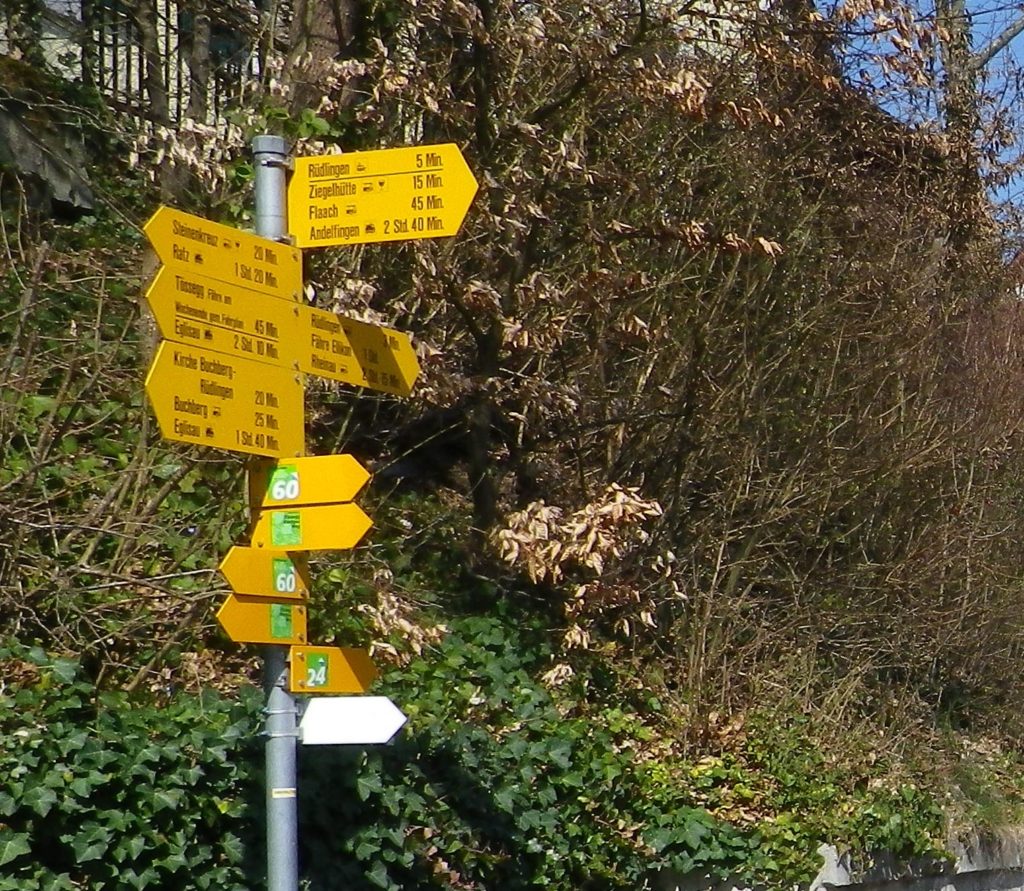
Examples of Swiss Directional Signs and Trail Markings
Trail Description:
Following mostly along the Rhine River’s edge in a little-known corner of Germany and Switzerland, this very easy trail, with only two short but somewhat steep inclines, offers variety in the landscape, tranquil scenery, and often shady paths.
Trailheads:
Jestetten, Germany: Saarstr (x Bahnhof) (start)
Buchberg, Switzerland: Dorfstr (end)
Parking:
Jestetten, Germany: Bahnhofstr (by station)
Buchberg, Switzerland: by the church
Public Transportation Options:
Rail: S9, Schaffhausen-Jestetten-Uster, stops in Rafz, (about 4 kilometers distant, but the closest to Buchberg)
Bus: Zurcher Verkehrsverbund, (ZVV), runs a frequent and direct bus service to Rafz on ZVV Bus 675
Jestetten, Germany: Saarstr, Altenburger Str, Im See; Cross the Volkenbach; through woods and fields; Lottstetten: Cross Weiherweg, Balmerstr, along river (and mostly through wooded terrain) for a while; Ruedlingen: past parking lot on river; cross Rafzerstr, past water treatment plant, Chratzeren, Hinterdorfstr, Sustenstr, Schuelwegli; vineyards, Buchberg, Switzerland: vineyards, Church, Dorfstr
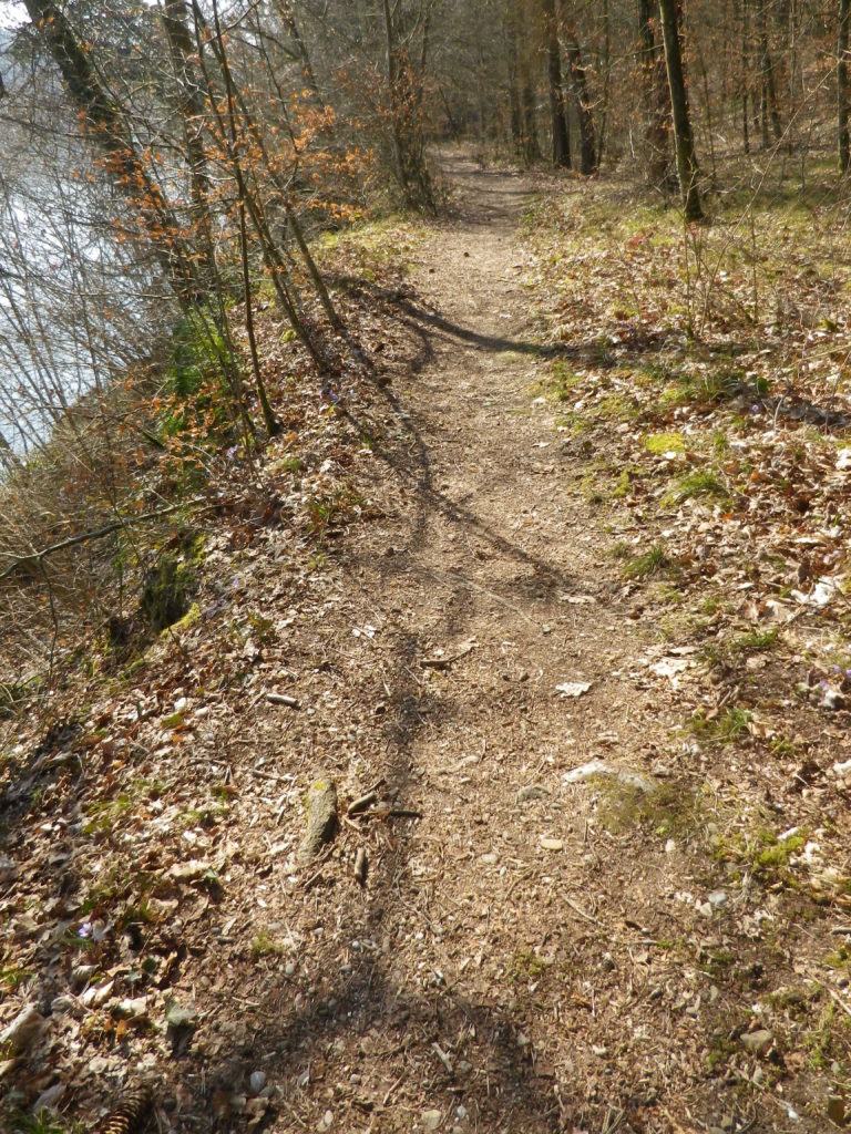
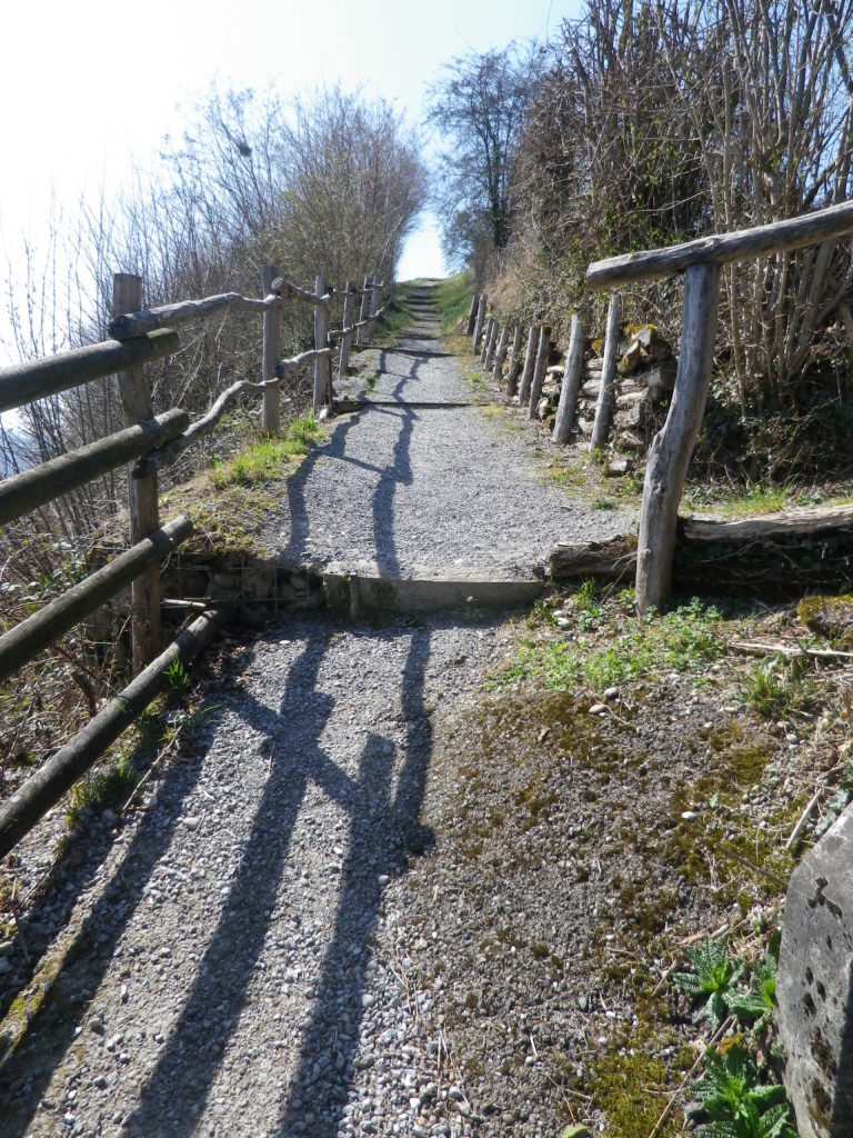
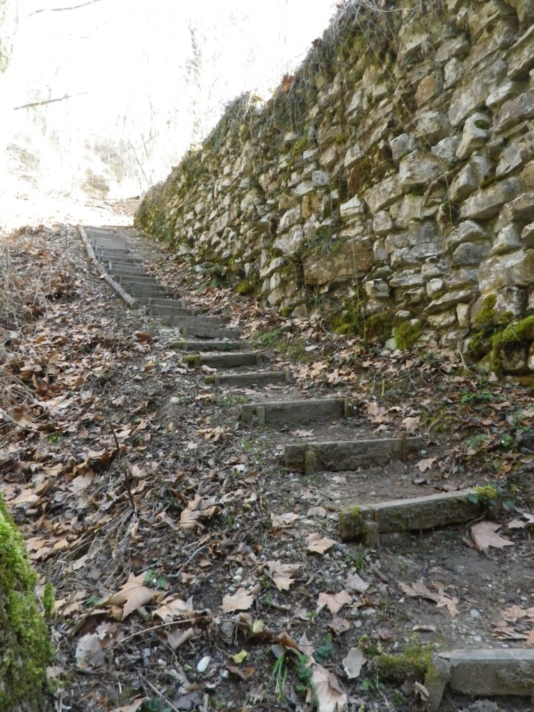
Representative Trail Photos:
Sample of Trail Through Woods by the RiverSample Section of Incline (Buchberg)Trail by the Roman Bridge
Restrooms:
Jestetten, Germany: Bahnhofstr x Saarstr, by the station
Ruedlingen, Switzerland: Chratzeren, at the water treatment facility
Attractions on or near Trail:
Tasting along the Trail: Café Rebe, Buchberg, Dorfstr 22; Besen-Beiz, Buchberg, Lindenhof (after 4 Apr 19)
Alternative Options:
Bike: Rhein-Route 2, Stage 7 (Schaffhausen to Bad Zurzach), a 53-kilometers (33 miles) bicycle itinerary covers this territory and more, following mostly along the Rhine River.
An option to cross the river by a small ferry is possible opposite Nack. (Look for the bell to ring to summon the ferry from the far side of the river.) There are not one, but two, water-side eateries there to slack the thirst and sate the hunger of hikers, bikers and boaters!
In Switzerland, instead of distance, the required time is usually indicated. (And in my experience, represents a healthy pace.)